

- Usage in publication:
-
- Hume shale member*
- Modifications:
-
- Original reference
- Dominant lithology:
-
- Shale
- AAPG geologic province:
-
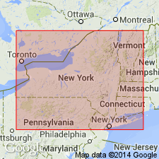
- Appalachian basin
Summary:
Hume shale member of Perrysburg formation. Name applied to about 70 feet of predominantly black, brown, and dark-gray shale exposed above Canaseraga sandstone member in stream and along banks of Wiscoy Creek at Mills Mills. Member rests on siltstone of upper part of Canaseraga along Wiscoy Creek and grades laterally eastward into siltstone of Canaseraga in area between Mills Mills and Dalton. In Genesee River Valley, overlain by Caneadea member. Age is Late Devonian.
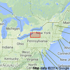
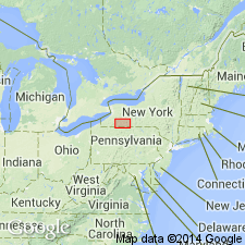
Type locality: at Mills Mills, on Wiscoy Creek, Hume Twp., Allegheny Co., NY.
Source: US geologic names lexicon (USGS Bull. 1200, p. 1836-1837).
- Usage in publication:
-
- Hume shale member
- Modifications:
-
- Revised
- AAPG geologic province:
-
- Appalachian basin
Summary:
Pg. 10 (fig. 1), 16. [Hume shale member] reallocated to member status in Canadaway formation. [Age is Late Devonian.]
Source: US geologic names lexicon (USGS Bull. 1200, p. 1836-1837).
- Usage in publication:
-
- Hume shale
- Modifications:
-
- Revised
- AAPG geologic province:
-
- Appalachian basin
Summary:
Pg. 15, 17, 18. In Wellsville area, term Perrysburg formation not applied. Hume shale considered formation in Canadaway group.
Source: US geologic names lexicon (USGS Bull. 1200, p. 1836-1837).
For more information, please contact Nancy Stamm, Geologic Names Committee Secretary.
Asterisk (*) indicates published by U.S. Geological Survey authors.
"No current usage" (†) implies that a name has been abandoned or has fallen into disuse. Former usage and, if known, replacement name given in parentheses ( ).
Slash (/) indicates name conflicts with nomenclatural guidelines (CSN, 1933; ACSN, 1961, 1970; NACSN, 1983, 2005, 2021). May be explained within brackets ([ ]).