

- Usage in publication:
-
- Hinsdale volcanic series*
- Modifications:
-
- Original reference
- Dominant lithology:
-
- Rhyolite
- Basalt
- AAPG geologic province:
-
- Piceance basin
- San Juan Mountains province
- San Luis basin
Summary:
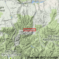
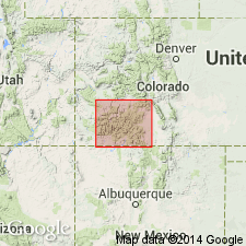
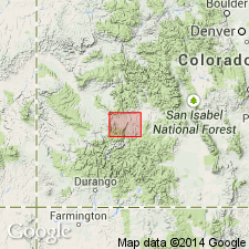
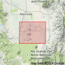
Pg. 22, 29, map. Hinsdale volcanic series. In portions of San Cristobal and Uncompahgre quadrangles, and presumably in others not yet examined, a succession of volcanic eruptions later than Potosi volcanic series took place, producing a series of lavas differing notably from the products of earlier eruptions. Potosi volcanic series was much eroded before these later lava flows were extruded. So far as known they closed the long sequence of lavas in San Juan region. They range from a rhyolite very rich in quartz and alkali feldspar but poor in calcic feldspar and in all ferromagnesian minerals to a normal olivine plagioclase basalt. Between these two extremes are several types of lavas possessing some characteristics distinguishing them from earlier lavas. Named for important occurrences in Hinsdale County, southwestern Colorado. The most extensive deposits of these lavas thus far discovered are on divide between Lake Fork and Cebolla Creek, directly east of Lake City. The section exposed is nearly 1,200 feet thick. It is too early to sharply define limits of Hinsdale volcanic series. [Age is late Tertiary(?) (Pliocene?).]
Source: US geologic names lexicon (USGS Bull. 896, p. 961-962).

- Usage in publication:
-
- Hinsdale volcanic series*
- Modifications:
-
- Age modified
- AAPG geologic province:
-
- San Juan Mountains province
Summary:
Hinsdale volcanic series is of Tertiary(?) (Pliocene?) age. [Map shows, in San Juan Mountains some post-Hinsdale volcanics.] Between the Hinsdale and the Miocene Potosi volcanic series there were outspread the Fisher quartz latite (Miocene) and the Los Pinos and contemporaneous gravels of Tertiary(?) (Pliocene?) age.
Source: US geologic names lexicon (USGS Bull. 896, p. 961-962).
- Usage in publication:
-
- Hinsdale formation*
- Modifications:
-
- Revised
- AAPG geologic province:
-
- Piceance basin
- San Luis basin
Summary:
[Credited to Larsen.] Changed name to Hinsdale formation, and redefined it so as to include, under the name Los Pinos member, the gravels and sands originally treated as a distinct formation, under the name Los Pinos gravel. [Age is Tertiary(?) (Pliocene?).]
[Recognized in southwestern CO and northwestern NM.]
Source: US geologic names lexicon (USGS Bull. 896, p. 961-962).
- Usage in publication:
-
- Hinsdale Formation*
- Modifications:
-
- Geochronologic dating
- AAPG geologic province:
-
- Piceance basin
Summary:
C9, C26-C28. Hinsdale Formation. Overlies Carpenter Ridge Tuff (new; rocks formerly called Piedra Rhyolite of Potosi Volcanic Series). K-Ar age of 12.5 Ma determined for the Hinsdale south of study area (T.A. Steven, oral commun., 1965) [Miocene].
Source: Publication.
- Usage in publication:
-
- Hinsdale Formation*
- Modifications:
-
- Geochronologic dating
- AAPG geologic province:
-
- San Luis basin
Summary:
Samples from flows of the Hinsdale Formation yielded K-Ar ages (whole-rock): flow at Flat Top 26.4 +/-1.2 Ma and 26.1 +/-1.2 Ma; flow at Pinon Hills 26.0 +/-1.1 Ma; flow at South Pinon Hills 25.7 +/-1.8 Ma. Oligocene. To west in San Juan Mountains, ages ranged from 26.8 Ma to 4.4 Ma.
Source: Modified from GNU records (USGS DDS-6; Denver GNULEX).
For more information, please contact Nancy Stamm, Geologic Names Committee Secretary.
Asterisk (*) indicates published by U.S. Geological Survey authors.
"No current usage" (†) implies that a name has been abandoned or has fallen into disuse. Former usage and, if known, replacement name given in parentheses ( ).
Slash (/) indicates name conflicts with nomenclatural guidelines (CSN, 1933; ACSN, 1961, 1970; NACSN, 1983, 2005, 2021). May be explained within brackets ([ ]).