- Usage in publication:
-
- Graford limestone member
- Modifications:
-
- Original reference
- Dominant lithology:
-
- Limestone
- AAPG geologic province:
-
- Bend arch
Summary:
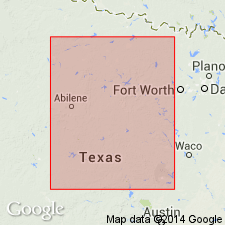
Pg. 133-145. Graford limestone member, top member of Graford formation (in Canyon division). One of the most persistent, and can be recognized by greater height of its scarp than the other limestone members [unnamed] of the formation. The limestones are very fossiliferous, but shells are poorly preserved. [Age is Late Pennsylvanian. Report area in Brazos River Valley, north-central Texas.]
[Origin of name not stated. Probably named from town of Graford, in Palo Pinto Co. Brazos River region, TX.]
[See also entry under Graford formation.]
Source: US geologic names lexicons (USGS Bull. 896, p. 847; USGS Bull. 1200, p. 1557).

- Usage in publication:
-
- Graford limestone member†
- Modifications:
-
- Abandoned
- AAPG geologic province:
-
- Bend arch
Summary:
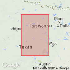
Pg. 24, 31; Univ. Texas Bull., no. 2132, p. 101. †Graford limestone member of Graford formation. Correlated top member of Graford formation with Adams Branch limestone of Drake and discarded Graford limestone member.
Source: US geologic names lexicon (USGS Bull. 896, p. 847).
For more information, please contact Nancy Stamm, Geologic Names Committee Secretary.
Asterisk (*) indicates published by U.S. Geological Survey authors.
"No current usage" (†) implies that a name has been abandoned or has fallen into disuse. Former usage and, if known, replacement name given in parentheses ( ).
Slash (/) indicates name conflicts with nomenclatural guidelines (CSN, 1933; ACSN, 1961, 1970; NACSN, 1983, 2005, 2021). May be explained within brackets ([ ]).

