- Usage in publication:
-
- Gassaway formation
- Modifications:
-
- Named
- Dominant lithology:
-
- Shale
- AAPG geologic province:
-
- Appalachian basin
Summary:
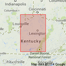
Named Gassaway formation for Gassaway, Cannon Co., TN. Consists of hard slaty fissile black shale with conspicuous joints, abundant LINGULA MELIE, conodonts, and small fish scales; contains conspicuous phosphatic nodules at different levels. Thickness varies from 9 to 13.5 feet north and east of the basin, except in Macon Co. where it is 5 feet. Unit includes the Bransford sandstone member at the base. The Gassaway underlies the Eulie shale and overlies the Dowelltown formation; at the type section it underlies the Maury shale which in this area is about 8 inches thick. Unit is of Mississippian age.
Source: GNU records (USGS DDS-6; Reston GNULEX).

- Usage in publication:
-
- Gassaway Member*
- Modifications:
-
- Revised
- Areal extent
- AAPG geologic province:
-
- Appalachian basin
Summary:
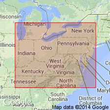
Gassaway Member of Chattanooga Shale extends from central TN northward into central KY and southward into northern AL and northwest GA. Revised to include Cleveland and Huron Beds, the equivalents to the Cleveland and Huron Members of Ohio Shale farther north in northern KY and OH. Gassaway correlates with Dunkirk Shale Member of Perrysburg Formation of easternmost OH, western PA, and western NY.
Source: GNU records (USGS DDS-6; Reston GNULEX).

- Usage in publication:
-
- Gassaway Member*
- Modifications:
-
- Overview
- Areal extent
- AAPG geologic province:
-
- Appalachian basin
Summary:
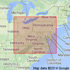
Chattanooga Shale in TN and northern AL is the distal fringe of the black gas shales in the southwestern Appalachian basin. In central TN, where the unit ranges in thickness from a featheredge to more than 35 ft it is divided into the Dowelltown Member below and the Gassaway Member above. In central TN, the Gassaway consists of a basal black shale (the Huron Bed) (7.5 ft), a middle unit of intercalated black and medium-gray shale (2 ft), and an upper black shale (7 ft). In north-central TN, it also includes the Cleveland Bed at the top. In south-central KY, the Dowelltown is absent and the Gassaway consists of the Huron, Three Lick, and Cleveland Beds and a thin layer of Sunbury Shale at the top. In east-central KY, the Chattanooga Shale grades northward into the Ohio Shale, the Bedford Shale, the Berea Sandstone, and the Sunbury Shale. The Chattanooga thickens northeastward and reaches more than 1,000 ft in northeast TN and southwest VA, but there the Gassaway and Dowelltown are not recognized as separate lithostratigraphic units.
Source: GNU records (USGS DDS-6; Reston GNULEX).
For more information, please contact Nancy Stamm, Geologic Names Committee Secretary.
Asterisk (*) indicates published by U.S. Geological Survey authors.
"No current usage" (†) implies that a name has been abandoned or has fallen into disuse. Former usage and, if known, replacement name given in parentheses ( ).
Slash (/) indicates name conflicts with nomenclatural guidelines (CSN, 1933; ACSN, 1961, 1970; NACSN, 1983, 2005, 2021). May be explained within brackets ([ ]).

