- Usage in publication:
-
- Garrard sandstone*
- Modifications:
-
- Original reference
- Dominant lithology:
-
- Sandstone
- Shale
- AAPG geologic province:
-
- Cincinnati arch
Summary:
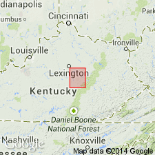
Pg. 2. Garrard sandstone. Calcareous sandstone and shale or mudstone, 70 to 130 feet thick, grading imperceptibly into Richmond formation above and into Winchester limestone below. [Age is Late Ordovician.]
[Named from Garrard Co., central KY.]
Source: US geologic names lexicon (USGS Bull. 896, p. 803).
- Usage in publication:
-
- Garrard substage
- Modifications:
-
- Revised
- AAPG geologic province:
-
- Cincinnati arch
Summary:
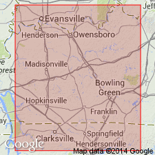
Pg. 8-23. Garrard substage (top division of Eden stage of central Kentucky) consists of 65 feet of fine-grained sandstone with concretionary layers in middle. To north sandstone is wanting at this horizon. Lower part of Eden stage consists of 200 feet of blue shale and thin limestones, overlying Winchester substage [restricted to lower 40 feet of Campbell's Winchester]. The lower beds of Eden stage were named Milton shale by J.M. Nickles in 1905. This shale underies Garrard sandstone. [Age is Late Ordovician.]
Source: US geologic names lexicon (USGS Bull. 896, p. 803).
- Usage in publication:
-
- Garrard sandstone
- Modifications:
-
- Revised
- AAPG geologic province:
-
- Cincinnati arch
Summary:
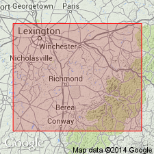
Garrard sandstone of Richmond folio [as mapped?] includes Mount Hope bed and Paint Lick bed. [Age is Late Ordovician.]
Source: US geologic names lexicon (USGS Bull. 896, p. 803).
- Usage in publication:
-
- Garrard sandstone member
- Modifications:
-
- Revised
- AAPG geologic province:
-
- Cincinnati arch
Summary:
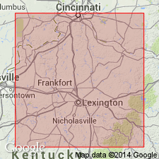
Garrard sandstone member of Eden shale. Upper part of Eden shale in southern part of Blue Grass region, central Kentucky. Consists of shaly sandstones, in some places concretionary, having maximum thickness of 150+/- feet. Thins gradually to north. Lower part of Eden consists of blue shale with sandy layers and locally beds of limestone. [Age is Late Ordovician.]
Source: US geologic names lexicon (USGS Bull. 896, p. 803).
- Usage in publication:
-
- Garrard Siltstone*
- Modifications:
-
- Revised
- Redescribed
- Dominant lithology:
-
- Siltstone
- AAPG geologic province:
-
- Cincinnati arch
Summary:
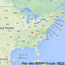
Name Garrard sandstone changed to Garrard Siltstone. Reference section established. Consists chiefly of limy siltstone and minor mudstone and limestone. The siltstone is gray and very limy where fresh, but in most outcrops it is weathered yellowish brown where much of the carbonate is leached out. Most beds are 6 to 24 inches thick; thicker beds are commonly contorted. Interbedded mudstone and limestone are mostly in lenses a few inches thick and a few tens of feet long. Fossils are sparse. Garrard is about 10 to 100 feet thick in the area between Danville and Mount Sterling. Gradationally underlain by Clays Ferry Formation; gradationally overlain by Calloway Creek Limestone.
Source: GNU records (USGS DDS-6; Reston GNULEX).
- Usage in publication:
-
- Garrard Siltstone*
- Modifications:
-
- Age modified
- AAPG geologic province:
-
- Cincinnati arch
Summary:
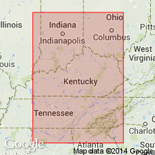
The Garrard Siltstone of south-central KY consists of limy siltstone with lenses of mudstone and limestone, and ball and pillow structures. Fossils are generally scarce except some brachiopods. Thickness is 10 to 100 feet. Overlies the Clays Ferry Formation and underlies the Calloway Creek Limestone. A northward decrease in grain size suggests that sedimentation was controlled from a southerly source. The Garrard is of Late Ordovician (late Edenian) age.
Source: GNU records (USGS DDS-6; Reston GNULEX).
For more information, please contact Nancy Stamm, Geologic Names Committee Secretary.
Asterisk (*) indicates published by U.S. Geological Survey authors.
"No current usage" (†) implies that a name has been abandoned or has fallen into disuse. Former usage and, if known, replacement name given in parentheses ( ).
Slash (/) indicates name conflicts with nomenclatural guidelines (CSN, 1933; ACSN, 1961, 1970; NACSN, 1983, 2005, 2021). May be explained within brackets ([ ]).

