

- Usage in publication:
-
- Floride dolomite*
- Modifications:
-
- Named
- Dominant lithology:
-
- Dolomite
- AAPG geologic province:
-
- Great Basin province
Summary:
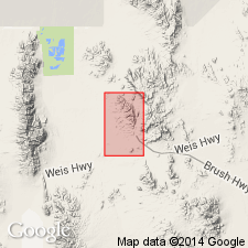
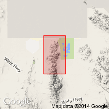
Named for occurrence at Floride mine, east side Spors Mountain, T13S, R12W, Juab Co, UT in the Great Basin province. Type section starts one-half mi north of Floride mine in NE1/4 sec 3, T13S, R12W where formation is 120 ft thick and is underlain by Fish Haven dolomite and overlain by Bell Hill dolomite (new). Lower contact covered. Ranges from 100 to 135 ft thick. Other good sections occur 1,400 ft southwest of west pipe of Fluorine Queen and on mountain 1,700 ft northeast of the Dell No. 5, sec 27, T12S, R12W. Also recognized in Blowout mine in sec 21, T12S, R12W. Consists of two resistant dolomites covered by slope wash in most places. Most of the dolomite is fine grained light to medium gray. Lower 39 ft has thin undulatory pinkish to red beds. Local 1- to 2-inch chert bands parallel bedding. Horn corals found in upper part. Age of Late Ordovician or Silurian based on stratigraphic position. Geologic map. Stratigraphic sections.
Source: GNU records (USGS DDS-6; Denver GNULEX).
- Usage in publication:
-
- Floride dolomite*
- Modifications:
-
- Overview
- AAPG geologic province:
-
- Great Basin province
Summary:
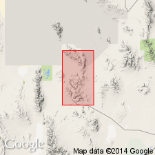
Shown as 135 ft thick at type section [rather than 120 ft as reported by Staatz, Osterwald, 1959] measured about 2,600 ft north of Floride mine, Spor Mountain, Juab Co, UT in the Great Basin province. Overlies Fish Haven dolomite; underlies Bell Hill dolomite at type where it consists of light- to dark-gray, very fine to fine grained, banded fossiliferous dolomite. Ranges between 100 and 135 ft thick. Fossils--mostly unidentifiable horn corals. Late Ordovician coral found at top of underlying Fish Haven. Silurian corals found in lowest part of overlying Bell Hill. Floride may be Late Ordovician, Silurian or both. Mapped (geologic map) in southwest and north central part of area.
Source: GNU records (USGS DDS-6; Denver GNULEX).
- Usage in publication:
-
- Floride Member
- Modifications:
-
- Revised
- Areal extent
- Overview
- AAPG geologic province:
-
- Great Basin province
Summary:
Is uppermost of four members of Ely Springs Dolostone (redescribed). Extended into Barn Hills in Confusion Range and Silver Island Mountains, western UT and into southern Egan Range, Delamar Mountains, Cherry Creek Range and Pancake Range in eastern NV. Unit occurs in Great Basin province. Overlies Lost Canyon Member (new) of Ely Springs; disconformably overlain by Tony Grove Lake Member (new) of Laketown Dolostone (redescribed). Measured sections. Fossil corals indicate a late Late Ordovician age.
Source: GNU records (USGS DDS-6; Denver GNULEX).
- Usage in publication:
-
- Floride Member*
- Modifications:
-
- Revised
- Age modified
- AAPG geologic province:
-
- Great Basin province
Summary:
Reduced in rank and assigned as upper of two members of Ely Springs Dolomite in Fish Springs Range, Juab Co, UT, Great Basin province. Overlies unnamed lower member of Ely Springs; [unconformably] underlies Bell Hill Member (rank reduced) of Laketown Dolomite. Assigned Late Ordovician age based on work in unpublished thesis by Budge (1972).
Source: GNU records (USGS DDS-6; Denver GNULEX).
For more information, please contact Nancy Stamm, Geologic Names Committee Secretary.
Asterisk (*) indicates published by U.S. Geological Survey authors.
"No current usage" (†) implies that a name has been abandoned or has fallen into disuse. Former usage and, if known, replacement name given in parentheses ( ).
Slash (/) indicates name conflicts with nomenclatural guidelines (CSN, 1933; ACSN, 1961, 1970; NACSN, 1983, 2005, 2021). May be explained within brackets ([ ]).