- Usage in publication:
-
- Epitaph dolomite*
- Modifications:
-
- Original reference
- Dominant lithology:
-
- Dolomite
- AAPG geologic province:
-
- Pedregosa basin
Summary:
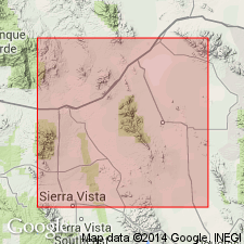
Pg. 25-27, 41; James Gilluly, 1956, USGS Prof. Paper 281, p. 8, 44-46, pl. 5. Epitaph dolomite of Naco group. Lowest member of formation consists of about 200 feet of dolomite which ranges from medium- to light-gray on fresh fracture and weathers to various shades of gray -light to very dark. Characterized by presence of knots of silica, which are suggestive of being silicified fossils -weather to brown or tan. Toward the top of this part of formation, partings of red shale occur in dolomite; overlying beds generally poorly exposed sandy limestone or limey sandstone with higher proportion of maroon shale and much less dolomite. Uppermost part of formation is assemblage of dolomite, limestone, red shale, and thin sandy layers. Thickness at type locality 783 feet. Unconformably underlies Glance conglomerate or other rocks of Comanche age; overlies Colina limestone (new) with gradational contact. Fossils (gastropods, brachiopods, corals). Age is Early Permian (possibly Wolfcamp or Leonard). Report includes stratigraphic sections, measured sections, faunal lists.
Type locality: on dip slope of Colina Ridge, west of Epitaph Gulch (from which dolomite takes its name), 1 mi south of Horquilla Peak, central Cochise Co., southeastern AZ.
Source: US geologic names lexicon (USGS Bull. 1200, p. 1273); supplemental information from GNU records (USGS DDS-6; Denver GNULEX).
- Usage in publication:
-
- Epitaph Dolomite
- Modifications:
-
- Areal extent
- AAPG geologic province:
-
- Pedregosa basin
Summary:
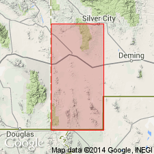
Pg. 50, fig. 2, pl. 4. Epitaph Dolomite of Naco Group. Geographically extended into Big Hatchet Mountains, New Mexico. Conformably overlies Colina Limestone; underlies Scherrer Formation. May correlate with Yeso Formation. No fossils found. Age is Early Permian (Leonard); lies between Horquilla Limestone (Wolfcamp) and Concha Limestone (Leonard).
Measured section: in N/2 sec. 1, T. 32 S., R. 15 W.; 1,480 ft of Epitaph described.
Source: Modified from GNU records (USGS DDS-6; Denver GNULEX); supplemental information from GNC index card files (USGS-Menlo).
- Usage in publication:
-
- Epitaph Formation*
- Modifications:
-
- Redescribed
- Areal extent
- Mapped
- Dominant lithology:
-
- Dolomite
- Limestone
- Siltstone
- AAPG geologic province:
-
- Pedregosa basin
- Basin-and-Range province
Summary:
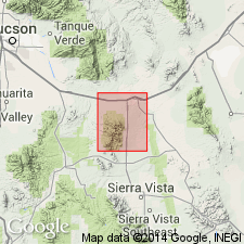
Epitaph Formation of Naco Group. Mapped in Whetstone Mountains, southeastern Arizona. Includes upper limestone member, middle limestone and marl member, and lower dolomite member. Overlies Colina Limestone; underlies Scherrer Formation. Age is Early Permian.
Measured sections: in SE/4 sec. 14 and NW/4 sec. 24, T. 18 S., R. 18 E., Pima Co., AZ, upper two members 1,026 ft thick described; in secs. 21 through 23, 27, T. 19 S., R. 19 E., Cochise Co., AZ, where Epitaph is 1,189 ft thick.
Source: Publication; supplemental information from GNU records (USGS DDS-6; Denver GNULEX).
- Usage in publication:
-
- Epitaph Dolomite*
- Modifications:
-
- Areal extent
- Mapped
- Dominant lithology:
-
- Dolomite
- Limestone
- Marl
- Siltstone
- Gypsum
- AAPG geologic province:
-
- Pedregosa basin
- Basin-and-Range province
Summary:
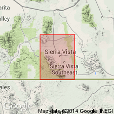
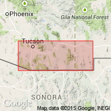
Epitaph Dolomite of Naco Group. Mapped in Mustang Mountains, Santa Cruz County, Arizona, and Huachuca Mountains, Cochise County, Arizona. Dolomite and limestone, marl, siltstone, and gypsum. Thickness about 860 feet. Divided into 3 informal members: upper member, dolomite and limestone, about 280 feet; middle member, marl, siltstone, and dolomite, about 450 feet; lower member, dolomite, about 130 feet. Age is Early Permian.
Source: GNU records (USGS DDS-6; Denver GNULEX).
- Usage in publication:
-
- Epitaph Dolomite
- Modifications:
-
- Overview
- AAPG geologic province:
-
- Pedregosa basin
- Basin-and-Range province
Summary:
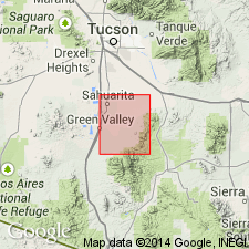
Epitaph Dolomite. Listed as probable lower Leonardian. Deposited in more saline marine waters than underlying Colina Limestone.
Source: Modified from GNU records (USGS DDS-6; Denver GNULEX).
- Usage in publication:
-
- Epitaph Dolomite*
- Modifications:
-
- Areal extent
- Mapped
- Dominant lithology:
-
- Limestone
- Dolomite
- Marl
- Siltstone
- AAPG geologic province:
-
- Basin-and-Range province
Summary:
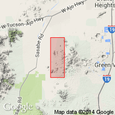
Epitaph Dolomite of Naco Group. Mapped in Santa Rita Mountains, Pima County, Arizona. Limestone, dolomite, marl, and siltstone. Age is Early Permian.
Source: Publication; supplemental information from GNU records (USGS DDS-6; Denver GNULEX).
- Usage in publication:
-
- Epitaph Dolomite*
- Modifications:
-
- Areal extent
- Mapped
- AAPG geologic province:
-
- Basin-and-Range province
Summary:
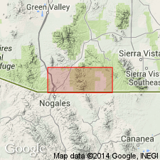
Epitaph Dolomite of Naco Group. Mapped in Sierrita Mountains, Pima County, Arizona. Age is Early Permian.
Source: Modified from GNU records (USGS DDS-6; Denver GNULEX).
- Usage in publication:
-
- Epitaph Dolomite*
- Modifications:
-
- Areal extent
- Mapped
- AAPG geologic province:
-
- Basin-and-Range province
Summary:
Epitaph Dolomite of Naco Group. Mapped in Patagonia Mountains, Santa Cruz County, Arizona. Age is Early Permian.
Source: GNU records (USGS DDS-6; Denver GNULEX).
- Usage in publication:
-
- Epitaph Dolomite
- Modifications:
-
- Areal extent
- Mapped
- Dominant lithology:
-
- Dolomite
- AAPG geologic province:
-
- Pedregosa basin
Summary:
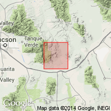
Epitaph Dolomite of Naco Group. Mapped in Rincon Mountains, Cochise County, Arizona. Dark-gray moderately thick-bedded slightly cherty dolomite; includes a lower unit, commonly faulted out, of dolomitic marlstone and some intercalated limestone. Estimated thickness (preserved) about 600 feet. Age is Early Permian.
Source: Modified from GNU records (USGS DDS-6; Denver GNULEX).
- Usage in publication:
-
- Epitaph Dolomite*
- Modifications:
-
- Areal extent
- Mapped
- Dominant lithology:
-
- Dolomite
- AAPG geologic province:
-
- Pedregosa basin
Summary:
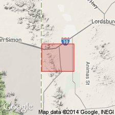
Epitaph Dolomite. Extended into central Peloncillo Mountains, New Mexico. Includes beds previously called Colina Limestone by Armstrong and others (1978). May grade laterally into Colina Limestone.
[Accepted by the US Geologic Names Committee (July 31, 1979, N.F. Sohl, chair); unit boundary probably coincides more closely to that used in other areas.]
Source: Modified from GNU records (USGS DDS-6; Denver GNULEX); supplemental information from GNC index card files (USGS-Menlo).
- Usage in publication:
-
- Epitaph Dolomite*
- Modifications:
-
- Mapped 1:24k
- Dominant lithology:
-
- Dolomite
- AAPG geologic province:
-
- Pedregosa basin
Summary:
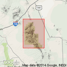
Epitaph Dolomite of Naco Group. Medium- to dark-gray, mostly coarse-grained, medium-bedded, slightly cherty dolomite. Thickness about 200 m. Commonly occurs in faulted or folded(?) sequences. Probably a lateral facies of upper Colina Limestone. Age is Early Permian.
Source: Publication.
- Usage in publication:
-
- Epitaph Dolomite*
- Modifications:
-
- Mapped 1:24k
- Dominant lithology:
-
- Dolomite
- Limestone
- Siltstone
- Marlstone
- AAPG geologic province:
-
- Pedregosa basin
Summary:
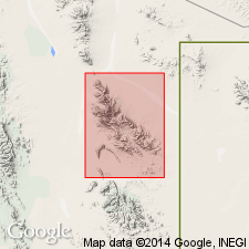
Epitaph Dolomite. Mapped in Big Hatchet Mountains, Hidalgo County, southwestern New Mexico. Medium- to light-gray, medium-grained, slightly cherty dolomite and some thin dolomitic limestone, siltstone, and marlstone beds. Thickness about 1,500 feet (450 m). Underlies with gradational contact Scherrer Formation (Lower Permian); overlies and locally intertongues with Epitaph Dolomite (Lower Permian). Fossiliferous (gastropods, echinoids). Age is Early Permian.
Source: Publication.
- Usage in publication:
-
- Epitaph Dolomite*
- Modifications:
-
- Areal extent
- AAPG geologic province:
-
- Basin-and-Range province
Summary:
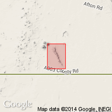
Pg. 13 (fig. 6), 24 (fig. 15). Epitaph Dolomite. Extended into Sierra Juarez, Chihuahua, Mexico, and West Lime Hills area of Tres Hermanas Mountains, southern Luna County, New Mexico. Age is Early Permian.
Source: Publication.
For more information, please contact Nancy Stamm, Geologic Names Committee Secretary.
Asterisk (*) indicates published by U.S. Geological Survey authors.
"No current usage" (†) implies that a name has been abandoned or has fallen into disuse. Former usage and, if known, replacement name given in parentheses ( ).
Slash (/) indicates name conflicts with nomenclatural guidelines (CSN, 1933; ACSN, 1961, 1970; NACSN, 1983, 2005, 2021). May be explained within brackets ([ ]).

