

- Usage in publication:
-
- Emerson formation*
- Modifications:
-
- Named
- Dominant lithology:
-
- Shale
- Limestone
- Conglomerate
- AAPG geologic province:
-
- Williston basin
Summary:
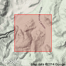
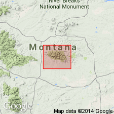
Named as formation in Little Rocky Mountains, Blaine and Phillips Cos, MT, Williston basin. Type locality is at or near mouth of Emerson Gulch, on Lodgepole Creek, SW1/4 sec 20, T26N, R25E, Phillips Co, MT about 4 1/2 mi south-southwest of Lodgepole sub-agency, Fort Belknap Indian Reservation [location subsequently changed to sec 30 (Knechtel, 1959)]. At type only about 65 percent visible in intermittent exposures. Thickness estimated to be not less than 90 ft and not more than 1,100 ft. Measured section not given. Approximately lower half is Middle Cambrian in age. Of this half, about 1/3 consists chiefly of olive-gray shale interbedded with thin beds of limestone. Remaining 2/3 of Middle Cambrian part includes: l) lower zone, dark-green shale containing fossils equivalent to those of uppermost part of Meagher; 2) middle zone of dark-green shale interbedded with thin limestone beds; and 3) upper zone of interbedded dark-green shale and thin limestone beds and intraformational conglomerate. Upper part, 538 ft thick, Late Cambrian and probable Early Ordovician age, consists mostly of green shale, thin limestone beds, edgewise intraformational conglomerate, and limestone nodules; an uppermost zone, about 100 ft thick, shows red and buff coloration. Overlies Flathead sandstone; underlies Bighorn dolomite. Fossils typical of Wolsey shale (lower part), Park shale (middle part), and Deadwood formation (upper part). Geologic map.
Source: GNU records (USGS DDS-6; Denver GNULEX).
- Usage in publication:
-
- Emerson formation
- Modifications:
-
- Revised
- AAPG geologic province:
-
- Williston basin
Summary:
Subdivided Emerson formation into four members at the type section along Lodgepole Creek, at the mouth of Emerson Gulch, northeast side of the Little Rocky Mountains, Phillips County, Montana, in the Williston basin. These are (ascending): Wolsey, about 250 feet thick; Meagher, 1 to 2 feet thick; Park, 300 to 350 feet thick; and Zortman (new), 300 to 650 feet thick. Underlies Bighorn formation; Overlies Flathead sandstone. Age of Emerson formation is Middle through Late Cambrian. Wolsey, Meagher, and Park members are Middle Cambrian; Zortman member is Late Cambrian. Discusses age assignments; based on fossils. Report includes generalized descriptions of lithologies.
Source: Modified from GNU records (USGS DDS-6; Denver GNULEX).
- Usage in publication:
-
- Emerson formation
- Modifications:
-
- Revised
- AAPG geologic province:
-
- Williston basin
Summary:
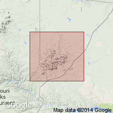
Location of type locality corrected to SW1/4 sec 30, T26N, R25E, Phillips Co, MT in the Williston basin. Formerly included in Deadwood formation together with underlying Flathead sandstone. Overlies Flathead with apparent conformity; underlies Bighorn dolomite unconformably. Middle Cambrian to Early Ordovician in age.
Source: GNU records (USGS DDS-6; Denver GNULEX).
- Usage in publication:
-
- Emerson Formation
- Modifications:
-
- Overview
- Biostratigraphic dating
- AAPG geologic province:
-
- Williston basin
Summary:
Shows by means of fossil zonation the stratigraphic relations of Emerson Formation with the partly equivalent Deadwood Formation; from outcrops in the Little Rocky Mountains, Blaine County, Montana, westward in subsurface of the Williston basin to Richey, Montana, and from there generally southward along the Cedar Creek anticline to outcrops in the northern Black Hills, South Dakota. Age is Middle and Late Cambrian and Early Ordovician.
Source: Modified from GNU records (USGS DDS-6; Denver GNULEX).
- Usage in publication:
-
- Emerson Formation
- Modifications:
-
- Not used
Summary:
Rocks assigned to Zortman Member of Emerson Formation in Little Rocky Mountains (Lochman-Balk, 1956), Williston basin, are assigned in this report to upper part of Snowy Range Formation (age modified) in Big Snowy Mountains, Central Montana uplift. Neither Emerson nor Zortman was ever defined or adequately described.
Source: GNU records (USGS DDS-6; Denver GNULEX).
For more information, please contact Nancy Stamm, Geologic Names Committee Secretary.
Asterisk (*) indicates published by U.S. Geological Survey authors.
"No current usage" (†) implies that a name has been abandoned or has fallen into disuse. Former usage and, if known, replacement name given in parentheses ( ).
Slash (/) indicates name conflicts with nomenclatural guidelines (CSN, 1933; ACSN, 1961, 1970; NACSN, 1983, 2005, 2021). May be explained within brackets ([ ]).