- Usage in publication:
-
- Elbrook limestone*
- Modifications:
-
- Named
- Dominant lithology:
-
- Limestone
- Shale
- AAPG geologic province:
-
- Appalachian basin
Summary:
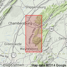
Massive, bluish gray magnesian and cherty limestone with red and green shales in the middle here named Elbrook Limestone for town of Elbrook in Franklin Co., PA, where it is quarried. Thickness about 2,000 feet (610 m). Underlies Knox Limestone; overlies Waynesboro Formation. Age is Middle and Late Cambrian. Unit present in south-central PA, northwestern MD, and northern VA.
Source: GNU records (USGS DDS-6; Reston GNULEX).
- Usage in publication:
-
- Elbrook formation*
- Modifications:
-
- Revised
- AAPG geologic province:
-
- Appalachian basin
Summary:
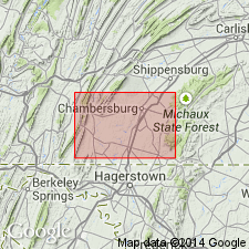
Revised to Elbrook formation. Series of gray to light-blue shaly limestone and calcareous shale. Approximately 3000 feet thick. Overlies Waynesboro formation, underlies Conococheague limestone.
Source: GNU records (USGS DDS-6; Reston GNULEX).
- Usage in publication:
-
- Elbrook dolomite*
- Modifications:
-
- Revised
- Dominant lithology:
-
- Dolomite
- AAPG geologic province:
-
- Appalachian basin
Summary:
Used as Elbrook dolomite. Cream-colored to white fine-grained impure marble, mostly thinly laminated, weathers to shaly yellow tripoli and yellow earthy soil. Approximately 500 ft thick.
Source: GNU records (USGS DDS-6; Reston GNULEX).
- Usage in publication:
-
- Elbrook limestone*
- Modifications:
-
- Areal extent
- AAPG geologic province:
-
- Appalachian basin
Stose, G.W., 1928, Geologic map of Virginia: Virginia Geological Survey, scale 1:500,000
Summary:
Geographically extended to VA. Age is Middle and Late Cambrian, shown on description of map units.
Source: GNU records (USGS DDS-6; Reston GNULEX).
- Usage in publication:
-
- Elbrook limestone
- Modifications:
-
- Areal extent
- AAPG geologic province:
-
- Appalachian basin
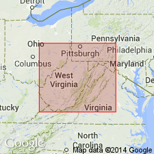
Summary:
Elbrook Limestone geographically extended into Jefferson and Berkeley Cos., WV, where it occurs in two separated belts of outcrop. Estimated thickness in Jefferson Co. is 2,200 to 2,400 ft; in Berkeley Co. 2,000 to 2,200 ft. Underlies Conococheague Dolomite; unconformably(?) overlies Waynesboro Formation.
Source: GNU records (USGS DDS-6; Reston GNULEX).
- Usage in publication:
-
- Elbrook limestone
- Modifications:
-
- Areal extent
- AAPG geologic province:
-
- Appalachian basin
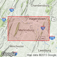
Summary:
Used in MD. Thick series of gray to light-blue shaly limestone and calcareous shale, shale forms plates; massive beds of limestone and dolomite, siliceous limestone which weathers to porous sandstone, and siliceous oolites occur in middle portion of formation; upper portion largely calcareous shale and laminated limestone. Overlies Waynesboro formation, underlies Conococheague limestone. Upper boundary with Conococheague is below series of siliceous conglomerate beds with flat pebble limestone conglomerates and oolites.
Source: GNU records (USGS DDS-6; Reston GNULEX).
- Usage in publication:
-
- Elbrook dolomite*
- Modifications:
-
- Areal extent
- AAPG geologic province:
-
- Appalachian basin
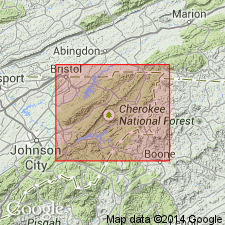
Summary:
Elbrook geographically extended to northern TN as Elbrook Dolomite of Conasauga Group. Along southeast edge of Appalachian Valley Elbrook is only representative of Conasauga, but to the southwest, near Elizabethton, unit underlies Nolichucky Shale and overlies Honaker Dolomite. Thickness about 2,000 ft in Denton Valley area.
Source: GNU records (USGS DDS-6; Reston GNULEX).
- Usage in publication:
-
- Elbrook Dolomite*
- Modifications:
-
- Revised
- AAPG geologic province:
-
- Appalachian basin
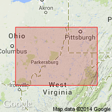
Summary:
In cross section E-E', in the subsurface of east-central WV and western VA, Elbrook Dolomite used for dolomite sequence overlying Rome Formation. Between the central West Virginia arch and the Allegheny structural front, the Rome is restricted to sandstone and shale sequence; overlying dolomite is assigned to the Elbrook. Called Elbrook Formation in North Mountain area, VA. Unnamed dolomite member of Maryville Limestone becomes upper part of Elbrook east of Rome trough. Age is Middle and Upper Cambrian.
Source: GNU records (USGS DDS-6; Reston GNULEX).
- Usage in publication:
-
- Elbrook Limestone*
- Modifications:
-
- Overview
- AAPG geologic province:
-
- Appalachian basin
Summary:
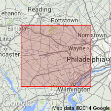
The unit mapped as Elbrook Limestone in Chester Co. may not be the same unit mapped as the Elbrook to the west. However, it is called Elbrook Limestone in the report. Unit forms low hills in Chester Valley. It is a light gray to white, finely laminated, fine-grained, interbedded limestone and marble. The lower contact is gradational with the Ledger Dolomite. The Elbrook is 300 to 800 ft thick in study area.
Source: GNU records (USGS DDS-6; Reston GNULEX).
For more information, please contact Nancy Stamm, Geologic Names Committee Secretary.
Asterisk (*) indicates published by U.S. Geological Survey authors.
"No current usage" (†) implies that a name has been abandoned or has fallen into disuse. Former usage and, if known, replacement name given in parentheses ( ).
Slash (/) indicates name conflicts with nomenclatural guidelines (CSN, 1933; ACSN, 1961, 1970; NACSN, 1983, 2005, 2021). May be explained within brackets ([ ]).

