

- Usage in publication:
-
- Elbert formation*
- Modifications:
-
- Original reference
- Dominant lithology:
-
- Shale
- Quartzite
- Limestone
- AAPG geologic province:
-
- San Juan basin
- Paradox basin
- San Juan Mountains province
Summary:
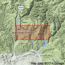
Pg. 245-252. Elbert formation. The strata overlying Ignacio formation (chiefly quartzite and believed to be of Late Cambrian age), underlying Ouray limestone, and carrying fish remains at base and near top, which seem unquestionably to form a lithologic stratigraphic and faunal unit. At Devon Point the Elbert consists of (descending): (1) red shale or clay, 5 feet; (2) sandstone or quartzite containing fish scales in places, 1+/- feet; (3) calcareous shales and thin limestone, buff or gray, breaking readily into slabs, salt casts common, 25 feet; (4) thin layers of alternating quartzite, dull-gray arenaceous limestone, and red calcareous shale, 8 feet; (5) hard fine-grained gray quartzite, [2+] feet; (6) red calcareous shale, 4 inches to 1 foot; (7) yellow earthy limestone, 9 inches; (8) calcareous and sandy shales, variegated, yellow, buff, lilac, 4 inches to 1 foot; (9) fine-grained yellow-brown quartzite, 1 foot; (10) sandy shale, red, greenish, or mottled, a harder layer in middle, 5 feet; (11) sandy limestone, shaly in part, rich in fish scales and plates, 1+/- feet; (12) red shale, calcareous and sandy, with specks of bone or shell, 2 feet. Total thickness at Devon Point 54 feet. Named from exposures on Elbert Creek, a western tributary of Animas River, entering just above Rockwood, [La Plata County], southwestern Colorado. The Elbert has been observed below Ouray limestone in several quadrangles of San Juan region, and many exposures have been studied. Its most persistent feature is the crumbling calcareous shale division with its casts of salt crystals. The most important variation in its lithology is appearance of dense earthy limestone of conchoidal fracture, in several beds in upper part. Only fossils found are fish remains. Appears to correlated with "Parting quartzite" of central Colorado. Age is Late Devonian.
Source: US geologic names lexicon (USGS Bull. 896, p. 665).
- Usage in publication:
-
- Elbert formation
- Modifications:
-
- Revised
- AAPG geologic province:
-
- Paradox basin
Summary:
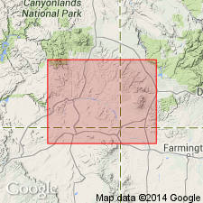
Pg. 56, 57; J.C. Cooper, 1955, Four Corners Geol. Soc. Gdbk., [1st] field conf., p. 62 (table 1), 63. Elbert formation. In subsurface in Four Corners area, base of formation lowered 112 feet (named McCracken sandstone member). Overlies Aneth formation (new), probably unconformably. Age is Late Devonian.
Source: US geologic names lexicon (USGS Bull. 1200, p. 1222, McCracken entry p. 2293).
- Usage in publication:
-
- Elbert Formation*
- Modifications:
-
- Areal extent
- AAPG geologic province:
-
- Plateau sedimentary province
Summary:
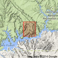
The name Upper Devonian Elbert Formation geographically extended westward from Four Corners area into the subsurface of Kane Co, UT, Plateau sedimentary province, where Elbert unconformably overlies Middle Cambrian Muav Limestone and unconformably underlies the Upper Devonian Ouray? Limestone. Elbert is 145 ft thick. It consists of a basal 20 ft thick white to light-brown silty and dolomitic sandstone that probably correlates with McCracken Sandstone Member to the east and an upper light-brown dolomite and limestone unit that has several thin purple to green shale beds especially in upper 25 ft. Columnar section. Marine deposit.
Source: GNU records (USGS DDS-6; Denver GNULEX).
- Usage in publication:
-
- Elbert Formation*
- Modifications:
-
- Areal extent
- AAPG geologic province:
-
- Black Mesa basin
- Paradox basin
- San Juan basin
Summary:
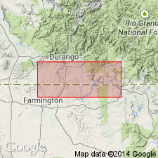
Pg. A5 (fig. 3), A15-A18. Elbert Formation. Consists of (descending): (1) unnamed upper member, thin-bedded, brownish-gray, sandy dolomite and sandstone, green to red shale, and minor anhydrite, thickness up to 250 feet west of Reservation (fig. 7, isopach map), poorly exposed; (2) McCracken Sandstone Member, mostly very fine- to coarse-grained, quartzose sandstone, thickness up to 140 feet west of Reservation (fig. 6, isopach map). [Total thickness of Elbert up to 125+ feet on Reservation. Not mapped (pl. 1, geol. map).] Unconformably overlies the feldspathic Upper Cambrian Ignacio Quartzite (Aneth Formation is absent in this area); conformably underlies Upper Devonian Ouray Limestone. Fossils. Age is Late Devonian.
Recognized in subsurface and surface of Four Corners region of southwestern Colorado, northwestern New Mexico, northeastern Arizona, and southeastern Utah.
Source: Publication.
For more information, please contact Nancy Stamm, Geologic Names Committee Secretary.
Asterisk (*) indicates published by U.S. Geological Survey authors.
"No current usage" (†) implies that a name has been abandoned or has fallen into disuse. Former usage and, if known, replacement name given in parentheses ( ).
Slash (/) indicates name conflicts with nomenclatural guidelines (CSN, 1933; ACSN, 1961, 1970; NACSN, 1983, 2005, 2021). May be explained within brackets ([ ]).