- Usage in publication:
-
- Eagle limestone
- Modifications:
-
- Named
- Dominant lithology:
-
- Limestone
- AAPG geologic province:
-
- Appalachian basin
Summary:
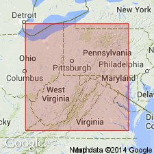
Eagle is a dark fossiliferous impure limestone, 1 foot thick, with "cone-in-cone" structure. Lies 75 ft below Eagle coal and 55 ft below Little Eagle coal. Rests on dark marine shales. Named for fine exposures in cuts of Chesapeake and Ohio RR at Eagle, Fayette Co. May be same as Ferriferous limestone. Included in Lower Coal Measures or Allegheny River series.
Source: GNU records (USGS DDS-6; Reston GNULEX).
- Usage in publication:
-
- Eagle limestone
- Modifications:
-
- Revised
- AAPG geologic province:
-
- Appalachian basin
Summary:
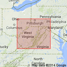
Correlation with Ferriferous limestone abandoned. Eagle limestone and Eagle coal reassigned to "Lower Kanawha group." Both lie stratigraphically higher than Nuttall sandstone.
Source: GNU records (USGS DDS-6; Reston GNULEX).
- Usage in publication:
-
- Eagle limestone/shale or slate
- Modifications:
-
- Overview
- AAPG geologic province:
-
- Appalachian basin
Summary:
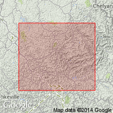
Eagle limestone in basal part of Kanawha formation, 0 to 2 ft thick, is overlain by 15 to 20 ft of Eagle shale or slate, which is black, laminated, and contains marine fossils. The shale underlies Grapevine sandstone. Eagle limestone is underlain by 10 to 25 ft of Eagle shale or slate, which is black, marine, and contains iron ore nodules. This lower shale rests on Little Cedar coal.
Source: GNU records (USGS DDS-6; Reston GNULEX).
- Usage in publication:
-
- Eagle limestone
- Eagle shale
- Modifications:
-
- Overview
- AAPG geologic province:
-
- Appalachian basin
Summary:
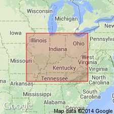
Eagle limestone is in lower part of Kanawha group, within the Eagle shale. Lies between Cedar above and Little Cedar coals. Eagle shale is a wide-spread dark-gray to black marine shale.
Source: GNU records (USGS DDS-6; Reston GNULEX).
- Usage in publication:
-
- Eagle Shale Member
- Modifications:
-
- Revised
- AAPG geologic province:
-
- Appalachian basin
Summary:
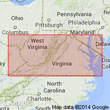
The Eagle limestone and shale of White (1891) is referred to as the Eagle Shale Member of the Norton Formation in this report. Unit is described as a very distinctive dark gray, medium laminated, fissile shale with micritic limestone concretions that weather pale brown. Concretions are 8 to 20 in. thick and as much as 36 in. across. Lies about 80 ft above the Hagy coal bed upon a thick and extensive sandstone unit. Is equivalent to the Betsie Shale, which has been shown by recent work to lie below the Gladeville Sandstone in the stratigraphic position between the Hagy coal bed and the Norton coal bed. Age is Middle Pennsylvanian. [See Rice and others, 199_, for an alternate interpretation and usage.]
Source: GNU records (USGS DDS-6; Reston GNULEX).
- Usage in publication:
-
- Eagle limestone and shale
- Modifications:
-
- Overview
- AAPG geologic province:
-
- Appalachian basin
Summary:
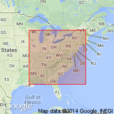
Eagle is an unranked marine limestone and shale in lower part of Kanawha Formation about 100 ft below Eagle coal. Unit is exposed near Eagle, Fayette Co., WV. The name has been mistakenly applied to an older marine unit above the Hagy coal zone in KY and VA and the Dorothy limestone and shale in southern WV. The Eagle limestone and shale are now called the Betsie Shale Member (Rice and others, 1987).
Source: GNU records (USGS DDS-6; Reston GNULEX).
For more information, please contact Nancy Stamm, Geologic Names Committee Secretary.
Asterisk (*) indicates published by U.S. Geological Survey authors.
"No current usage" (†) implies that a name has been abandoned or has fallen into disuse. Former usage and, if known, replacement name given in parentheses ( ).
Slash (/) indicates name conflicts with nomenclatural guidelines (CSN, 1933; ACSN, 1961, 1970; NACSN, 1983, 2005, 2021). May be explained within brackets ([ ]).

