- Usage in publication:
-
- Dornick Hills Formation
- Modifications:
-
- Original reference
- Biostratigraphic dating
- Dominant lithology:
-
- Shale
- AAPG geologic province:
-
- South Oklahoma folded belt
Summary:
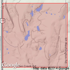
Pg. 129. [Describes Foraminifera from Dornick Hills formation of Ardmore basin.] The fauna was obtained from rather pure shales exposed in sec. 30, T. 3 S., R. 2 E., Carter County, Oklahoma; shales which lie between Jolliff and Otterville limestones.
Source: US geologic names lexicon (USGS Bull. 896, p. 623).
- Usage in publication:
-
- Dornick Hills formation
- Modifications:
-
- Revised
- Dominant lithology:
-
- Shale
- Limestone
- Sandstone
- Conglomerate
- AAPG geologic province:
-
- South Oklahoma folded belt
Summary:
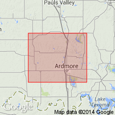
Dornick Hills formation. Bluish and tan shales interrupted by limestones and sandstones, with conspicuous limestone conglomerates south of Ardmore, [Carter County, south-central Oklahoma]. The pebbles in conglomerates consist chiefly of pre-Pennsylvanian limestones and chert such as now outcrop in Criner Hills. Basal member is Jolliff limestone member; top member is Pumpkin Creek limestone. Also includes (descending) Lester limestone, Bostwick limestone conglomerate, and Otterville limestone. Thickness 1,500 to 4,000 feet. Underlies Deese formation and overlies Springer formation.
Source: US geologic names lexicon (USGS Bull. 896, p. 623).
- Usage in publication:
-
- Dornick Hills formation
- Modifications:
-
- Revised
- Dominant lithology:
-
- Shale
- Limestone
- Sandstone
- Conglomerate
- AAPG geologic province:
-
- South Oklahoma folded belt
Summary:
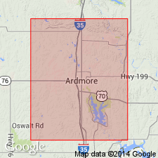
Dornick Hills formation. Bluish and tan shales interrupted by limestones and sandstones, with conspicuous limestone conglomerates south of Ardmore. The pebbles in conglomerates consist chiefly of pre-Pennsylvanian limestones and chert such as now outcrop in Criner Hills. Basal member is Joliff limestone member; top member is Pumpkin Creek limestone. Also includes (descending) Lester limestone, Bostwick limestone conglomerate, and Otterville limestone. Maximum observed thickness is about 4,000 feet at north edge of Love County. Thins northward to about 2,500 feet near town of Ardmore, and to less than 1,500 feet near Glenn Village. Underlies Deese formation and overlies Springer formation. Fossils (brachiopods, mollusks, etc.). Age is Pennsylvanian. Revised Water's Dornick Hills formation to include Goldston's [W.L. Goldston, Jr., 1922, AAPG Bull., v. 6, p. 8] Otterville and "Cup Coral" members of Glenn formation, and a little more. Report includes fossil list, geologic maps, columnar section.
Source: US geologic names lexicon (USGS Bull. 896, p. 623); supplemental information modified from GNU records (USGS DDS-6; Denver GNULEX).
- Usage in publication:
-
- Dornick Hills group
- Modifications:
-
- Revised
- AAPG geologic province:
-
- South Oklahoma folded belt
Summary:
Chart no. 6 (column 37, Ardmore basin, southern Oklahoma, collated by R.C. Moore). Dornick Hills group. Comprises (ascending) Jolliff, Otterville, Bostwick, Lester, and Frensley limestones, and Pumpkin Creek beds. Overlies Springer group; underlies Deese group. Age is [Early to Middle Pennsylvanian]; Morrowan to Lampasas [Atokan].
Source: Publication; US geologic names lexicon (USGS Bull. 1200, p. 1142).
- Usage in publication:
-
- Dornick Hills Group
- Modifications:
-
- Redefined
- AAPG geologic province:
-
- South Oklahoma folded belt
Summary:
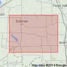
Pg. 137 (fig. 2), 138-143. [Dornick Hills] group redefined and subdivided into 3 formations (ascending): Golf Course (new), Lake Murray (new), and Big Branch. Golf Course formation includes the Primrose at base and the Otterville at top. Primrose sandstone and shale between the Primrose and Otterville are transferred from Springer group to Dornick Hills. Overlies Springer group; underlies Deese group. Age is Early and Middle Pennsylvanian (Morrow, Atoka, Des Moines).
Source: US geologic names lexicon (USGS Bull. 1200, p. 1142).
- Usage in publication:
-
- Dornick Hills Group*
- Modifications:
-
- Revised
- Adopted
Summary:
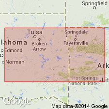
Pg. A10-A11, A54, A56-A57 (fig. 5). Dornick Hills Group (rank raised). Divided into (ascending): Golf Course Formation and its Primrose Sandstone (lower and upper parts), Gene Autry, Jolliff, and Otterville Limestone Members (now reduced from formation rank); and Lake Murray Formation and its Bostwick Conglomerate and Griffin Members. Overlies rocks of Springer Group (now raised from formation rank). Age is Early and Middle Pennsylvanian (Morrowan and Atokan; Namurian and Westphalian of Europe). [See also Mackenzie Gordon, Jr., and G.C. Stone, 1976, Arkansas Geol. Commission Symposium on the geology of the Ouachita Mountains, v. 1.]
Source: Publication.

- Usage in publication:
-
- Dornick Hills Group (undivided)
- Modifications:
-
- Mapped 1:250k
- Dominant lithology:
-
- Conglomerate
- Limestone
- Sandstone
- AAPG geologic province:
-
- South Oklahoma folded belt
Summary:
Dornick Hills Group (undivided). Probably Bostwick Formation. Conglomerate, limestone, and sandstone. Crops out within area of Sherman sheet as single inlier in southern Love County, southeastern Oklahoma. Age is Middle Pennsylvanian [Atokan].
Source: Publication.
For more information, please contact Nancy Stamm, Geologic Names Committee Secretary.
Asterisk (*) indicates published by U.S. Geological Survey authors.
"No current usage" (†) implies that a name has been abandoned or has fallen into disuse. Former usage and, if known, replacement name given in parentheses ( ).
Slash (/) indicates name conflicts with nomenclatural guidelines (CSN, 1933; ACSN, 1961, 1970; NACSN, 1983, 2005, 2021). May be explained within brackets ([ ]).

