

- Usage in publication:
-
- Dinosaur Canyon sandstone member*
- Modifications:
-
- Areal extent
- AAPG geologic province:
-
- Black Mesa basin
- Plateau sedimentary province
Summary:
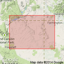
Pg. 3 (fig. 2), 13-13, 63, pls. 1, 2. Dinosaur Canyon sandstone member of Moenave formation of Glen Canyon group. At type locality, consists of sequence of lenticular units predominantly of fluvial origin but which also include large amount of eolian sandstone. Thickness at type locality 202 feet; 307 feet at Moenave (Coconino Co., northeastern AZ); 321 feet at Kachina Point (Coconino Co., northeastern AZ); thins northeast from type locality to 110 feet at Navajo Creek (Coconino Co., northeastern AZ), 28 feet at Piute Canyon [San Juan Co., southeastern UT-Navajo Co., northeastern AZ], and 47 feet at Steamboat Canyon (Apache Co., northeastern AZ). At type locality, unconformably overlies Chinle formation; in Navajo Creek area, Arizona, overlies Lukachukai member of Wingate sandstone. Age is Late Triassic(?).
Source: Publication; US geologic names lexicon (USGS Bull. 1200, p. 1120-1121).
- Usage in publication:
-
- Dinosaur Canyon Member
- Modifications:
-
- Revised
- AAPG geologic province:
-
- Great Basin province
- Plateau sedimentary province
Summary:
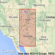
Revised in that Whitmore Point Member named as middle member of Moenave Formation. Within study area of southwest UT and northwest AZ [Great Basin and Plateau sedimentary provinces], Moenave, a formation within Glen Canyon Group, consists of (ascending) Dinosaur Canyon, Whitmore Point, and Springdale Sandstone Members. Whitmore Point is present west of a point about 10 mi east of Kanab, Kane Co, UT. Cross section; measured section at type Whitmore Point. Late Triassic? age.
Source: GNU records (USGS DDS-6; Denver GNULEX).
- Usage in publication:
-
- Dinosaur Canyon Sandstone Member*
- Modifications:
-
- Overview
- AAPG geologic province:
-
- Plateau sedimentary province
Summary:
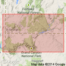
Underlies the Whitmore Point Member of Moenave Formation of Glen Canyon Group in southwestern UT and northwestern AZ, Plateau sedimentary province. Intertongues eastward with and is replaced by Kayenta Formation. Tentatively assigned a Sinemurian, Early Jurassic age on basis of Early Jurassic palynomorphs identified in the overlying Whitmore Point. [Age retained as Late Triassic? by USGS.] Correlation chart.
Source: GNU records (USGS DDS-6; Denver GNULEX).

- Usage in publication:
-
- Dinosaur Canyon Member*
- Modifications:
-
- Areal extent
- AAPG geologic province:
-
- Great Basin province
Summary:
Mapped as the lower member of the Moenave Formation in east-central Lincoln Co., NV in the Great Basin province where it unconformably overlies Petrified Forest Member of Chinle Formation and it underlies Springdale Sandstone and Whitmore Point Members (undivided) of Moenave. Is 175 m thick. Divisible into (divisions not mapped): basal 75 m thick red-brown, poorly bedded, calcareous muddy, very fine grained quartz sandstone that is ripple marked and forms low ridge with hackly chips; middle 65 m thick soil-covered reddish-brown shale and mudstone; upper 35 m thick fine grained, thin bedded, reddish-brown sandstone, moderately resistant unit that produces a platy talus. Of Early Jurassic age.
Source: GNU records (USGS DDS-6; Denver GNULEX).
For more information, please contact Nancy Stamm, Geologic Names Committee Secretary.
Asterisk (*) indicates published by U.S. Geological Survey authors.
"No current usage" (†) implies that a name has been abandoned or has fallen into disuse. Former usage and, if known, replacement name given in parentheses ( ).
Slash (/) indicates name conflicts with nomenclatural guidelines (CSN, 1933; ACSN, 1961, 1970; NACSN, 1983, 2005, 2021). May be explained within brackets ([ ]).