- Usage in publication:
-
- Decathon dolomite
- Modifications:
-
- Original reference
- Dominant lithology:
-
- Dolomite
- AAPG geologic province:
-
- Great Basin province
Summary:
Pg. 12 (fig. 3), 23 (fig. 5), 25-26, 30-31 (fig. 6), 34-35 (fig. 7), 36-37 (fig. 8), 40-41 (fig. 9), 52-53 (fig. 11), 60. Decathon dolomite. Consists of light gray, coarsely crystalline (0.085 mm), dense dolomite; weathers to tan. Thickness 350 feet. At type locality conformably overlies the Roberts Mountain formation; overlies the Jack Valley dolomite in the Kings Canyon area. Conformably underlies Kings Canyon dolomite. Contains non-age diagnostic fossils [corals]. Age is Silurian(?) on the basis of stratigraphic position and fossils.
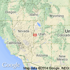
Named from Decathon Canyon [type; T. 10 N., R. 70 E., White Pine Co., eastern NV], one of the principal drainage channels of the southern Snake Range, west of Big Springs Ranch.
Source: US geologic names lexicon (USGS Bull. 1200, p. 1061); GNU records (USGS DDS-6; Menlo GNULEX).

- Usage in publication:
-
- Decathon Member
- Modifications:
-
- Revised
- Reference
- AAPG geologic province:
-
- Wasatch uplift
- Great Basin province
Summary:
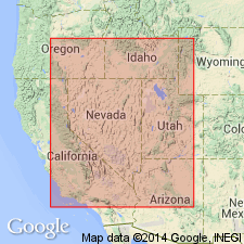
Rank tentatively reduced to member (uppermost of six members) of Laketown Dolostone (redescribed). Reference section measured at Tony Grove Lake, Bear River Range, SW1/4 SW1/4 of unsurveyed sec 6, T13N, R3E, northeastern Cache Co, UT on Wasatch uplift. Also occurs in southwestern UT at Barn Hills and eastern NV at Cherry Creek Mountains, Pancake Range, southern Egan Range, and Delamar Mountains in Great Basin province. Absent in central UT. Average thickness is 220 ft in more western sections; thins to east and absent in central UT. Deposited in subtidal environment. Overlies, in places disconformably, Jack Valley Member (revised) and Portage Canyon Member (new), both of Laketown; underlies Sevy Dolostone or Water Canyon Formation. Measured sections. Silurian age; locally Late Silurian age [basis of age determination not discussed].
Source: GNU records (USGS DDS-6; Denver GNULEX).
For more information, please contact Nancy Stamm, Geologic Names Committee Secretary.
Asterisk (*) indicates published by U.S. Geological Survey authors.
"No current usage" (†) implies that a name has been abandoned or has fallen into disuse. Former usage and, if known, replacement name given in parentheses ( ).
Slash (/) indicates name conflicts with nomenclatural guidelines (CSN, 1933; ACSN, 1961, 1970; NACSN, 1983, 2005, 2021). May be explained within brackets ([ ]).

