- Usage in publication:
-
- Carter's Creek limestone
- Modifications:
-
- Named
- Dominant lithology:
-
- Limestone
- AAPG geologic province:
-
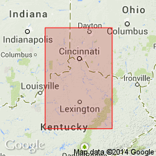
- Cincinnati arch
Safford, J.M., 1869, Geology of Tennessee: Nashville, TN, 550 p.
Summary:
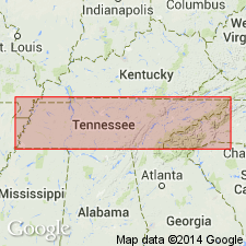
Carter's Creek limestone named in this report. Unit is heavy-bedded, light blue or dove-colored, fossiliferous limestone, upper part often gray. Thickness 50 to 100 ft. Top formation of Trenton or Lebanon [Stones River] group. Underlies ORTHIS bed [Hermitage formation] of Nashville group, and overlies Glade [Lebanon] limestone. Age is Middle Ordovician.
Source: GNU records (USGS DDS-6; Reston GNULEX).
- Usage in publication:
-
- Carters limestone*
- Modifications:
-
- Revised
- AAPG geologic province:
-
- Cincinnati arch
Summary:
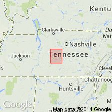
Carters limestone included in Stones River group.
Source: GNU records (USGS DDS-6; Reston GNULEX).

- Usage in publication:
-
- Carters
- Modifications:
-
- Not used
- AAPG geologic province:
-
- Cincinnati arch
Summary:
Carters limestone replaced with Lowville limestone. Two formations are shown separating the Lowville from Hermitage limestone in the Nashville dome. Lower one is called Upper Decorah shale; upper one called Curdsville. No explanation as to whether these two formations restrict Hermitage or the Carters of previous TN reports.
Source: GNU records (USGS DDS-6; Reston GNULEX).
- Usage in publication:
-
- Carters limestone
- Modifications:
-
- Overview
- AAPG geologic province:
-
- Cincinnati arch
Summary:
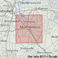
Carters limestone of Rutherford Co., TN, assigned to Black River group. Unconformably underlies Hermitage formation and unconformably overlies Lebanon limestone. No intervening formations shown as in Bassler (1919). However, author states that the Black River group, possibly includes an unnamed formation of Decorah age occurring as a lens above the Carters in southeastern part of Rutherford Co.
Source: GNU records (USGS DDS-6; Reston GNULEX).
- Usage in publication:
-
- Carters limestone
- Modifications:
-
- Revised
- AAPG geologic province:
-
- Cincinnati arch
Summary:
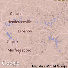
Carters limestone restricted to lower beds of Lowville age in TN. Upper beds correlated with Tyrone limestone of KY and referred to as Tyrone in TN. Upper beds of Lowville age (their Tyrone) are said by Ulrich and Bassler not to be present at Carters type locality, but Bassler states here that they outcrop a short distance beyond the Carters Creek area.
Source: GNU records (USGS DDS-6; Reston GNULEX).
- Usage in publication:
-
- Carters limestone member*
- Modifications:
-
- Overview
- AAPG geologic province:
-
- Cincinnati arch
Summary:
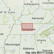
Bassler's restricted definition of Carters limestone is here adopted. Carters is restricted to lower part of beds heretofore included under that name, or to the massive, compact, white, or light-gray cherty limestone, which is here designated as Carters limestone member of Lowville limestone. No name is applied to upper member of Lowville limestone.
Source: GNU records (USGS DDS-6; Reston GNULEX).
- Usage in publication:
-
- Carters limestone
- Modifications:
-
- Areal extent
- AAPG geologic province:
-
- Cincinnati arch
Summary:
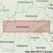
Pg. 44-45. Carters limestone. Names Tyrone and Lowville should not be used in central Tennessee. Name Carters has priority over New York name, Lowville, and Kentucky name, Tyrone. Name Carters limestone should be restored to formational rank and used as originally defined by Safford, that is, to include strata between overlying Hermitage formation and underlying Lebanon limestone. In central Tennessee, Carters limestone consists of upper thin-bedded unit and lower massive-bedded unit, which are referred to as Upper member and Lower member. The two members are separated by a bentonite bed, and Lower member contains two bentonite beds. Thickness of Lower member averages 50 feet; maximum thickness of Upper member is 28 feet. Safford's "type locality" is discussed in detail. [Age is Middle Ordovician.]
Source: US geologic names lexicon (USGS Bull. 1200, p. 651).

- Usage in publication:
-
- Carters Limestone*
- Modifications:
-
- Areal extent
- AAPG geologic province:
-
- Piedmont-Blue Ridge province
Summary:
Carters Limestone of the Stones River Group, as defined by Milici and Smith (1969), is here used in the Chickamauga terrane in GA.
Source: GNU records (USGS DDS-6; Reston GNULEX).
- Usage in publication:
-
- Carters Member
- Modifications:
-
- Revised
- AAPG geologic province:
-
- Piedmont-Blue Ridge province
Summary:
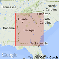
Carters regarded as member of the Stones River Formation of the Chickamauga Group in the Foreland thrust area of northwest Georgia following the nomenclature of Carter and Chowns (1986: AL Geol. Soc. Guidebook, 23rd Ann. Field Trip) and Carter and Chowns (in press: Amer. Assoc Pet. Geol. Studies in Geology). Overlies Lebanon Member of the Stones River and underlies Hermitage Member of the Nashville Formation.
Source: GNU records (USGS DDS-6; Reston GNULEX).
- Usage in publication:
-
- Carters Limestone*
- Modifications:
-
- Overview
- AAPG geologic province:
-
- Cincinnati arch
Summary:
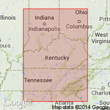
The Carters Limestone of the Stones River Group in central TN is divided into a lower and upper member. The lower member consists of 27 to 65 ft of fine, medium, and coarse grained, thin to medium bedded, sometimes coquinoid limestone that contains fossilized stromatoporoids, corals, and algae. The upper member consists of 28 ft of mainly gray to tan, dense, fine grained, laminated, argillaceous limestone. Fossils include ribbon-like bryozoans, corals, gastropods, ostracodes, and brachiopods. Unit unconformably overlies the Lebanon Limestone of the Stones River Group and unconformably underlies the Hermitage Formation of the Nashville Group. The Carters was deposited in a shallow marine shelf environment of normal salinity and variable energy conditions.
Source: GNU records (USGS DDS-6; Reston GNULEX).
- Usage in publication:
-
- Carters Limestone*
- Modifications:
-
- Age modified
- AAPG geologic province:
-
- Cincinnati arch
Summary:
Age of Carters Limestone is Champlainian (Rocklandian and Kirkfieldian).
Source: GNU records (USGS DDS-6; Reston GNULEX).
For more information, please contact Nancy Stamm, Geologic Names Committee Secretary.
Asterisk (*) indicates published by U.S. Geological Survey authors.
"No current usage" (†) implies that a name has been abandoned or has fallen into disuse. Former usage and, if known, replacement name given in parentheses ( ).
Slash (/) indicates name conflicts with nomenclatural guidelines (CSN, 1933; ACSN, 1961, 1970; NACSN, 1983, 2005, 2021). May be explained within brackets ([ ]).

