- Usage in publication:
-
- Carrara formation*
- Modifications:
-
- Named
- Dominant lithology:
-
- Shale
- Limestone
- AAPG geologic province:
-
- Great Basin province
Summary:
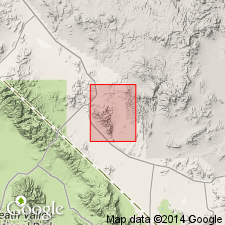
Carrara formation. Present in southern Nevada and southeastern California. Consists of interstratified shale and limestone with minor amounts of quartzite, sandstone, and siltstone. Thickness 1,785 feet at typical section. Clastic rocks dominate lower half and limestones the upper half. Lower half commonly has three major subdivisions and upper half, two. Overlies Stirling(?) quartzite; underlies Bonanza King formation; appears to be transitional through zone of irregularly dolomitized limestone with dolomitization increasing upwards into overlying formation. Age is Early and Middle Cambrian.
Typical section measured in canyon 0.5 mi northwest of Carrara Canyon, Bare Mountain 15-min quadrangle, Nye Co., southern NV. Named from Carrara, an abandoned mining camp, 8 mi east-southeast of Beatty, on NV Highway 95. Formation well exposed in and near Carrara Canyon, 2 mi northeast of the camp.
Source: US geologic names lexicon (USGS Bull. 1350, p. 121-122).
- Usage in publication:
-
- Carrara Formation*
- Modifications:
-
- Areal extent
- Revised
- AAPG geologic province:
-
- Great Basin province
Summary:
D27-D30. Described east of Yucca Flat, Nye County, Nevada, where unit is 1,960 feet thick and is divided into 7 subunits. Subunits 1, 2, 3, were correlated by Johnson and Hibbard (1957, USGS Bull. 1021-K) with Poiche Shale, subunit 4 with Lyndon Limestone, and subunit 5 with Chisholm Shale (all of Groom district, [Lincoln County, Nevada]). Jangle Limestone of Johnson and Hibbard (1957) is here recognized as member of the Carrara. Subunit 7 is equivalent to lower part of Johnson and Hibbard's Yucca Flat Formation. Carrara is gradational with underlying Zabriskie Quartzite Member of Wood Canyon Formation; transitional with overlying Bonanza King Formation. All but lower 50 feet of subunit 7 was included by Barnes and Palmer (1961) in Bonanza King Formation. Name Carrara seems more appropriate in this area than names Latham Shale, Chambless Limestone, and Cadiz Formation as used by Barnes and Palmer.
Source: US geologic names lexicon (USGS Bull. 1350, p. 121-122); GNU records (USGS DDS-6; Menlo GNULEX).
- Usage in publication:
-
- Carrara Formation*
- Modifications:
-
- Areal extent
- AAPG geologic province:
-
- Great Basin province
Summary:
Pg. 46 (fig. 3c), 47-48. Carrara Formation. Described in Spector Range quadrangle, Nevada, where it crops out in two areas forming slopes below overlying Bonanza King Formation. Total thickness about 1,500 feet. Overlies Wood Canyon Formation. Lower part is Early Cambrian age; upper part probably early Middle Cambrian age.
Source: US geologic names lexicon (USGS Bull. 1350, p. 121-122); GNU records (USGS DDS-6; Menlo GNULEX).
- Usage in publication:
-
- Carrara Formation*
- Modifications:
-
- Areal extent
- AAPG geologic province:
-
- Great Basin province
Summary:
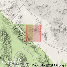
Pg. J34, pls. 1, 2. Carrara Formation. Crops out only in west and northeast corners of Bullfrog quadrangle, Nevada and California, where unit conformably overlies Corkscrew Quartzite (new). Upper contact not exposed and complex faulting precludes measurement of reliable section.
Source: US geologic names lexicon (USGS Bull. 1350, p. 121-122); GNU records (USGS DDS-6; Menlo GNULEX).
- Usage in publication:
-
- Carrara Formation*
- Modifications:
-
- Areal extent
- AAPG geologic province:
-
- Great Basin province
Summary:
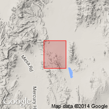
Described in Jangle Ridge quadrangle, Nye and Lincoln Counties, Nevada. Thickness 2,000 feet. A transitional lithologic sequence, upper half limestone with interbedded shale, lower half shale with interbedded limestone. Gradational contacts with underlying Zabriskie Quartzite and overlying Bonanza King Formation.
Source: US geologic names lexicon (USGS Bull. 1350, p. 121-122).
- Usage in publication:
-
- Carrara Formation*
- Modifications:
-
- Areal extent
- AAPG geologic province:
-
- Great Basin province
Summary:
Pg. A61, A67 (fig. 14), A70. Carrara Formation. Described in southern part of Last Chance Range area, Inyo County, California. Consists of gray limestone containing GIRVANELLA, greenish-gray phyllitic siltstone and yellowish-brown silty limestone. Thickness 1,640 feet. Overlies Zabriskie Quartzite; underlies Bonanza King Formation. Age is Early and Middle Cambrian.
[Misprint: US geologic names lexicon (USGS Bull. 1350, p. 122) lists Stewart, 1964, USGS Bull. 1224-A; publication date should be 1965.]
Source: US geologic names lexicon (USGS Bull. 1350, p. 121-122); GNU records (USGS DDS-6; Menlo GNULEX).
- Usage in publication:
-
- Carrara Formation*
- Modifications:
-
- Areal extent
- AAPG geologic province:
-
- Great Basin province
Summary:
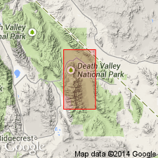
Carrara Formation geographically extended into report area [in several locales in northern and central Funeral Mountains and central Panamint Range, Death Valley, California]. Age is Early and Middle Cambrian.
Source: Modified from GNU records (USGS DDS-6; Menlo GNULEX).
- Usage in publication:
-
- Carrara Formation*
- Modifications:
-
- Areal extent
- AAPG geologic province:
-
- Great Basin province
Summary:
Carrara Formation of Early and Middle Cambrian age is recognized in northwest Clark County, Nevada. On geologic map of Clark County (Bowyer and others, 1958) unit was included in: (1) "Stirling quartzite and Johnnie formation, undifferentiated" which was classified at that time as Early Cambrian in age; and (2) "quartzite, shale and limestone" unit of Early and Middle Cambrian age. Basal 63 feet of Carrara consists of micaceous quartzite and minor amounts of micaceous siltstone. Overlying basal part is unmeasured sequence of siltstone and limestone. Trilobite fragments and algal structure GIRVANELLA occur in limestone layers about 100 feet above base of upper sequence.
Source: GNU records (USGS DDS-6; Menlo GNULEX).
- Usage in publication:
-
- Carrara Formation*
- Modifications:
-
- Overview
- AAPG geologic province:
-
- Great Basin province
Summary:
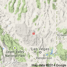
Pg. G10-G11, G16 (table 1). Carrara Formation. Described in Groom Range, Nevada, where it contains 1,870 feet of interbedded limestone, siltstone, shale, and quartzite. Divided into one formal (Jangle) and six informal members which correspond to the seven members described in Halfpint Range by Barnes and others (1962). Overlies Zabriskie Quartzite. Underlies Bonanza King Formation.
Source: US geologic names lexicon (USGS Bull. 1350, p. 121-122).
- Usage in publication:
-
- Carrara Formation*
- Modifications:
-
- Areal extent
- Biostratigraphic dating
- AAPG geologic province:
-
- Great Basin province
Summary:
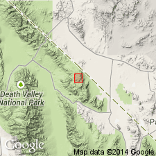
Cross sections with correlation show unit extends throughout much of central region of southern Great Basin. Contains abundant trilobites belonging to several faunal zones. Lowest of these zones occurs in lower 50 to 100 feet of Carrara Formation. Zones are Early Cambrian to early Middle Cambrian.
Source: Modified from GNU records (USGS DDS-6; Menlo GNULEX).
- Usage in publication:
-
- Carrara Formation*
- Modifications:
-
- Revised
- Biostratigraphic dating
- AAPG geologic province:
-
- Great Basin province
Summary:
Divided into (ascending) Eagle Mountain Shale, Thimble Limestone, Echo Shale, Gold Ace Limestone, Pyramid Shale, Red Pass Limestone, Pahrump Hills Shale, Jangle Limestone, and Desert Range Limestone Members (all nine names are new except Jangle Limestone Member) in southern Nevada and southeastern California. All appear conformable. Pyramid Shale Member contains Lower-Middle Cambrian boundary. Nine trilobite zonules are defined. (Adopted by the USGS.)
Source: GNU records (USGS DDS-6; Menlo GNULEX); Changes in stratigraphic nomenclature, 1979 (USGS Bull. 1502-A, p. A13).
- Usage in publication:
-
- Carrara Formation*
- Modifications:
-
- Areal extent
- AAPG geologic province:
-
- Great Basin province
Summary:
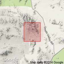
Carrara Formation geographically extended into report area [southern Avawatz Mountains, northeastern Mojave Desert region, California]. Age is Cambrian.
Source: Modified from GNU records (USGS DDS-6; Menlo GNULEX).
- Usage in publication:
-
- Carrara Formation*
- Modifications:
-
- Areal extent
- AAPG geologic province:
-
- Great Basin province
Summary:
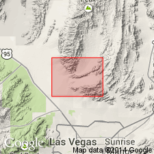
Unit geographically extended into report area [southern Sheep Range, Fossil Ridge, and Castle Rock area, Clark County, Nevada]. Age is Early and Middle Cambrian.
Source: Modified from GNU records (USGS DDS-6; Menlo GNULEX).
For more information, please contact Nancy Stamm, Geologic Names Committee Secretary.
Asterisk (*) indicates published by U.S. Geological Survey authors.
"No current usage" (†) implies that a name has been abandoned or has fallen into disuse. Former usage and, if known, replacement name given in parentheses ( ).
Slash (/) indicates name conflicts with nomenclatural guidelines (CSN, 1933; ACSN, 1961, 1970; NACSN, 1983, 2005, 2021). May be explained within brackets ([ ]).

