

- Usage in publication:
-
- Camelback Mountain Quartzite*
- Modifications:
-
- Named
- Dominant lithology:
-
- Quartzite
- AAPG geologic province:
-
- Northern Rocky Mountain region
Summary:
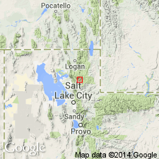
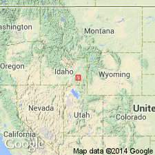
Pg. 586. Camelback Mountain Quartzite. Present in Pocatello area, Bannock County, southeastern Idaho. Consists of thick-bedded to massive, locally cross-bedded, medium-grained, vitreous quartzite that forms smooth slopes and weathers white, tan, brown, and brownish-gray. May be as much as 3,500 feet thick. Overlies Mutual Formation (extended into the Pocatello area) and underlies Gibson Jack Formation; both contacts conformable and transitional. Is unfossiliferous, but Cambrian fossils occur 300 feet above base of overlying Gibson Jack. Is of marine origin. Age is Precambrian and Early Cambrian. (Camelback Mountain Quartzite adopted by the USGS.)
Type section: on east slope of Wild Horse Mountain, about 4.5 mi south southwest of Pocatello, in secs. 22 and 23, T. 7 S., R. 34 E., Bannock Co., ID (Northern Rocky Mountain region). Named for exposures on Camelback Mountain, east of Pocatello, Idaho; this section is severely faulted.
Source: GNU records (USGS DDS-6; Denver GNULEX, Menlo GNULEX); US geologic names lexicon (USGS Bull. 1520, p. 48); Changes in stratigraphic nomenclature, 1971 (USGS Bull. 1372-A, p. A4-A5).
- Usage in publication:
-
- Camelback Mountain Quartzite
- Modifications:
-
- Revised
- AAPG geologic province:
-
- Northern Rocky Mountain region
- Snake River basin
Summary:
Assigned in the Northern Rocky Mountain region (Precambrian part) and Snake River basin (Cambrian part) as 1 of 6 formations to the Brigham Group (group rank extended into ID) in the northern Bannock and Portneuf Ranges, ID where it conformably overlies Mutual Formation of Brigham and underlies Gibson Jack Formation of Brigham. Assigned as 1 of 7 formations to the Brigham Group in the southern Portneuf and Bear River Ranges, ID, where it conformably overlies Mutual Formation of Brigham and underlies Windy Pass Argillite of Brigham. Is also assigned to depositional sequence 4, a braided stream, shoreface and offshore marine unit. Varies between 1,250 and 2,690 ft thick in southeast ID. Of Late Proterozoic and Cambrian age. Is homotaxial with Flathead Sandstone (WY), Tintic Quartzite (UT), and Tapeats Sandstone (AZ).
Source: GNU records (USGS DDS-6; Denver GNULEX).
For more information, please contact Nancy Stamm, Geologic Names Committee Secretary.
Asterisk (*) indicates published by U.S. Geological Survey authors.
"No current usage" (†) implies that a name has been abandoned or has fallen into disuse. Former usage and, if known, replacement name given in parentheses ( ).
Slash (/) indicates name conflicts with nomenclatural guidelines (CSN, 1933; ACSN, 1961, 1970; NACSN, 1983, 2005, 2021). May be explained within brackets ([ ]).