- Usage in publication:
-
- Breckenridge formation
- Modifications:
-
- Original reference
- Dominant lithology:
-
- Limestone
- Shale
- Sand
- AAPG geologic province:
-
- Bend arch
Summary:
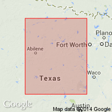
Pg. 133-145. Breckenridge formation in Cisco division. Consists of 3 persistent and lithologically similar limestone members, upper, middle and lower, separated by thick shale beds and lenticular sands. In places a 4th limestone member is present about 10 feet below the lower limestone. The 3 limestones form escarpments around the east end of the Breckenridge oil field. Underlies Waldrip formation and overlies Gunsight formation. [Age is Pennsylvanian.]
Source: US geologic names lexicon (USGS Bull. 896, p. 258).

- Usage in publication:
-
- Breckenridge formation†
- Modifications:
-
- Abandoned
- AAPG geologic province:
-
- Bend arch
Summary:
[Pg. 152, 154, 155, 160; see also Jour. Geol., v. 30, no. 1, p. 24, 31, 1922.] †Breckenridge formation. Replaced this name with Thrifty formation (in which, however, they included 0 to 140 feet of shale above Gunsight limestone), and adopted Breckenridge limestone for top member of Thrifty formation in Brazos River region.
Source: US geologic names lexicon (USGS Bull. 896, pg. 258).
For more information, please contact Nancy Stamm, Geologic Names Committee Secretary.
Asterisk (*) indicates published by U.S. Geological Survey authors.
"No current usage" (†) implies that a name has been abandoned or has fallen into disuse. Former usage and, if known, replacement name given in parentheses ( ).
Slash (/) indicates name conflicts with nomenclatural guidelines (CSN, 1933; ACSN, 1961, 1970; NACSN, 1983, 2005, 2021). May be explained within brackets ([ ]).

