- Usage in publication:
-
- Brannon Bridge limestones
- Modifications:
-
- Original reference
- AAPG geologic province:
-
- Bend arch
- Fort Worth syncline
Summary:
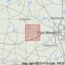
Pg. 16. Brannon Bridge limestones. Top beds of Lazy Bend member of Millsap Lake formation as defined by G. Scott and J.M. Armstrong (unpublished manuscript on Parker County). Consists of 3 prominent limestones separated by 10-foot breaks of shale and some sand. Outcrop in vicinity of Brannon Bridge on the Brazos, about 6 miles south-southwest of Millsap, Parker County, north-central Texas, Brazos River region. The upper 2 limestones have been mapped across southeast corner of Palo Pinto County. Age is Pennsylvanian. [This name appears to replace the preoccupied name Brannon limestone, used by Scott and Armstrong in 1933, as listed by Sellards under Millsap Lake formation.]
Source: US geologic names lexicon (USGS Bull. 896, p. 253).

- Usage in publication:
-
- Brannon Bridge limestone member
- Modifications:
-
- Revised
- AAPG geologic province:
-
- Fort Worth syncline
Summary:
Pg. 66 (fig. 1). Brannon Bridge limestone member of Lazy Bend formation. Reallocated to member status. Occurs below "Buck Creek sandstone" in Grindstone Creek formation and above Dennis Bridge limestone member of Lazy Bend.
Source: US geologic names lexicon (USGS Bull. 1200, p. 455-456).

- Usage in publication:
-
- Brannon Bridge limestone member
- Modifications:
-
- Principal reference
- Dominant lithology:
-
- Limestone
- Shale
- AAPG geologic province:
-
- Fort Worth syncline
Summary:
Pg. 17-18, fig. 3, pl. 4. Brannon Bridge limestone member of Lazy Bend formation. Composed of two limestones separated by shale and discontinuous sand bodies. Lower limestone is 15 feet thick and shale is 22 feet thick (measured at Steussy Scarp where ranch road crosses scarp approx. 1.5 miles west of Brazos River); a lensing sandstone in upper part of shale has maximum thickness of 4 feet in exposures in drainage immediately south of Meek Bend; upper limestone is 17 feet thick (in quarry on top of cliffs south of Brazos River at Meek Bend). Overlies Steussy shale member; underlies sandstone and shales of Grindstone Creek formation. Age is Pennsylvanian. Type section established.
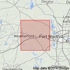
Type section: succession of beds exposed in Steussy Scarp, a prominent feature northwest of Rocky Creek west of Brazos River. Name derived from former highway bridge on Brazos River at a point 0.75 mi south of present Highway 80 bridge, Parker Co., [TX]. Outcrop of member extends south of U.S. Highway 80 along west side of meander of Brazos River forming Meek Bend; on west side of Brazos River outcrops are in bluffs along west and south sides of Meek Bend; southeast edge of outcrop forms Steussy Scarp which begins near river and extends southwestward across county line.
Source: US geologic names lexicon (USGS Bull. 1200, p. 455-456, 2125).
For more information, please contact Nancy Stamm, Geologic Names Committee Secretary.
Asterisk (*) indicates published by U.S. Geological Survey authors.
"No current usage" (†) implies that a name has been abandoned or has fallen into disuse. Former usage and, if known, replacement name given in parentheses ( ).
Slash (/) indicates name conflicts with nomenclatural guidelines (CSN, 1933; ACSN, 1961, 1970; NACSN, 1983, 2005, 2021). May be explained within brackets ([ ]).

