- Usage in publication:
-
- Borden series
- Modifications:
-
- Named
- AAPG geologic province:
-
- Cincinnati arch
Summary:
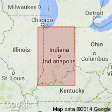
Named Borden series for Borden, Clark Co., IN. Replaces inappropriate name "Knobstone". Age is Mississippian (Osage).
Source: GNU records (USGS DDS-6; Reston GNULEX).
- Usage in publication:
-
- Borden group
- Modifications:
-
- Revised
- AAPG geologic province:
-
- Appalachian basin
- Cincinnati arch
Summary:
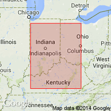
Pg. 1-248. Borden group. In Kentucky, comprises (ascending) New Providence formation, Brodhead formation (embracing Locust Point and Carwood divisions of Indiana classification), Floyds Knob formation, and Muldraugh formation (embracing Lower Harrodsburg division and Edwardsville division of Indiana classification). Underlies Harrodsburg (restricted) of Warsaw age, Salem formation, St. Louis limestone, or Ste. Genevieve limestone; overlies Rockford limestone (in Indiana), New Albany shale, Bedford, or Sunbury shale. Age given as Osage. Report deals specifically with 225-mile belt in Kentucky, Immediately bordering Lexington Plain and also discusses Lower Mississippian as a whole in east-central interior.
Source: US geologic names lexicon (USGS Bull. 1200, p. 433).
- Usage in publication:
-
- Borden Formation*
- Modifications:
-
- Revised
- AAPG geologic province:
-
- Cincinnati arch
Summary:
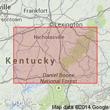
Borden Group reduced in rank to Borden Formation and units making up the formation largely redefined and renamed in south- and southeast-central KY. Brodhead Formation of Borden Group abandoned. New Providence and Floyds Knob Formations of Borden Group not recognized as useful map units in south- and southeast-central KY. Nancy, Cowbell, Nada, Halls Gap, and Renfro Members named. Wildie Sandstone Member of Warsaw Formation renamed Wildie Member of Borden Formation. Muldraugh Formation reduced in rank to Muldraugh Member of Borden Formation.
Source: GNU records (USGS DDS-6; Reston GNULEX).
- Usage in publication:
-
- Borden Group
- Modifications:
-
- Overview
- AAPG geologic province:
-
- Cincinnati arch
- Illinois basin
Summary:
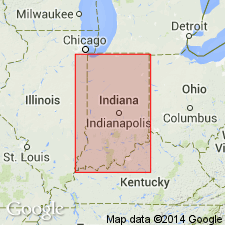
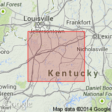
Borden Group used in this publication by the Indiana Geological Survey. Formations are New Providence, Locust Point, Carwood, and Muldraugh, ascending. Only New Providence is easily recognizable. Overlies Rockford Limestone. Upper contact with Harrodsburg Limestone difficult to recognize.
Source: GNU records (USGS DDS-6; Reston GNULEX).
- Usage in publication:
-
- Borden Formation*
- Modifications:
-
- Revised
- AAPG geologic province:
-
- Cincinnati arch
Summary:
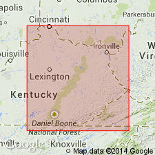
Members of Borden Formation revised in north-central KY. New ascending sequence of Members is New Providence Shale, Kenwood Siltstone, Nancy, Holtsclaw Siltstone, and Muldraugh. Floyds Knob Formation of Stockdale (1939) is not considered a formal unit but rather a glauconitic zone at the base of the Muldraugh Member, or at the top of the Nancy Member south of Nelson Co., KY.
Source: GNU records (USGS DDS-6; Reston GNULEX).
- Usage in publication:
-
- Borden Formation*
- Modifications:
-
- Revised
- AAPG geologic province:
-
- Cincinnati arch
Summary:
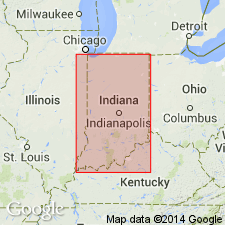
Renfro Member (upper member) removed from Borden Formation and reassigned as Renfro Member (basal member) of Slade Formation.
Source: GNU records (USGS DDS-6; Reston GNULEX).
- Usage in publication:
-
- Borden Group
- Modifications:
-
- Revised
- AAPG geologic province:
-
- Cincinnati arch
Summary:
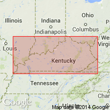
The Locust Point and Carwood Formations of the Borden Group do not have a recognizable mutual boundary that consistently separates them outside their type areas, and they cannot be separately mapped. Together they represent parts of a depositional event that resulted in a single mappable unit, here named the Spickert Knob Formation of the Borden Group; the names Locust Point and Carwood are abandoned.
Source: GNU records (USGS DDS-6; Reston GNULEX).
- Usage in publication:
-
- Borden Formation
- Modifications:
-
- Overview
- AAPG geologic province:
-
- Appalachian basin
Summary:
Borden Formation, in the study area, ranges in thickness from 0 to 200 m. Unit is composed of gray, interbedded shales, siltstones, some sandstones, and a few limestones. Red and green shale, siltstones, and carbonates are present at the top of this interval in some areas. Dolomitic siltstones of the Muldraugh Member are considered a part of the Fort Payne Formation. Borden is absent in the extreme western part of the study area, where it is replaced by the Fort Payne and part of the Salem-Warsaw Formations. Generally thickens eastward. Overlies Sunbury Shale Member of Chattanooga Shale; underlies informal Mount Vernon member of Slade Formation. Age is Early Mississippian.
Source: GNU records (USGS DDS-6; Reston GNULEX).
- Usage in publication:
-
- Borden Formation*
- Modifications:
-
- Overview
- AAPG geologic province:
-
- Cincinnati arch
Summary:
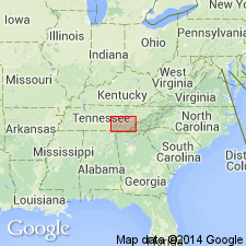
Used in TN in Chattanooga 2-degree quad.
Source: GNU records (USGS DDS-6; Reston GNULEX).
- Usage in publication:
-
- Borden Formation
- Modifications:
-
- Overview
- AAPG geologic province:
-
- Appalachian basin
Summary:
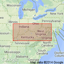
Though geologists have long considered Lower Mississippian rocks on opposite sides of the Appalachian basin to be essentially age equivalent, the outcrops in WV contain beds older than those in KY, but compose a single progradational depositional sequence that is divided in this report into allo-units. The upper part of the Price Formation (mostly Kinderhookian) in Caldwell, WV, is almost completely older than the Borden Formation (mostly Osagean) in Morehead, KY. The Kinderhookian boundary lies within the Henley Bed near the base of the Borden. The overlying Farmers, Nancy, Cowbell, and Nada Members are Osagean. Contacts between members are gradational indicating a slowly changing depositional environment. The Kinderhookian boundary in WV lies near the top of the Price Formation and the overlying Maccrady Formation is entirely Osagean. The upper Price comprises allo-units A, B, C, and a small part of D, where the top of C is recognized as the Kinderhookian/early Osagean boundary based on conodonts and ammonoids. The Borden in eastern KY comprises a small portion of C and all of D. In western KY, the Borden includes a small part of D and all of E and F. The early Osagean/late Osagean boundary, based on conodonts and crinoids, falls within the Nada Member in eastern KY and within the New Providence Shale Member in western KY. The Nancy Member, included in the early Osagean Allo-unit D in eastern KY, is within the late Osagean Allo-unit E in western KY.
Source: GNU records (USGS DDS-6; Reston GNULEX).
- Usage in publication:
-
- Borden Siltstone
- Borden Group
- Borden Formation
- Modifications:
-
- Biostratigraphic dating
- AAPG geologic province:
-
- Illinois basin
Summary:
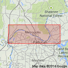
Age data are not available for the Borden Siltstone in IL, but it appears to be slightly older than the Fort Payne and Ullin, according to stratigraphic position and limited fossil data from IN and KY. Upper part of the Borden may be the same age as the Fort Payne. Author suggests that on the basis of conodont ranges for the GNATHODUS TEXANUS and TAPHROGNATHUS VARIANS, which were recovered form the Edwardsville Formation and all three members of the Muldraugh (outer platform to upper slope components of a Borden facies), that the Borden could also be equivalent in age to the lower part of the type Warsaw Shale. This age (Keokuk or late Osagean) would apply to the latest part of the Borden in Indiana, but ages could be slightly younger for the last deltaic phase in IL.
Source: GNU records (USGS DDS-6; Reston GNULEX).
For more information, please contact Nancy Stamm, Geologic Names Committee Secretary.
Asterisk (*) indicates published by U.S. Geological Survey authors.
"No current usage" (†) implies that a name has been abandoned or has fallen into disuse. Former usage and, if known, replacement name given in parentheses ( ).
Slash (/) indicates name conflicts with nomenclatural guidelines (CSN, 1933; ACSN, 1961, 1970; NACSN, 1983, 2005, 2021). May be explained within brackets ([ ]).

