- Usage in publication:
-
- Blackleaf sandy member*
- Modifications:
-
- Original reference
- Dominant lithology:
-
- Shale
- Sandstone
- AAPG geologic province:
-
- Sweetgrass arch
Summary:
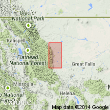
Pg. 154, 158-164. Blackleaf sandy member of Colorado shale. An alternation of dark shales and gray to greenish gray sandstones in beds 20 to 75 feet thick, composing lower 600 to 700 feet of Colorado shale in Birch Creek-Sun River area, northwestern Montana. Is a unit clearly distinguishable from remaining shaly part of Colorado shale. The dark shales throughout Blackleaf member are very similar to shales higher in the Colorado, and range from hard fissile shale to soft, not well bedded, and more nearly clay shale; colors black, greenish black to bluish gray, and even light gray in more calcareous parts. All of this member is marine. The sandstones are medium- to coarse-grained, in places ripple marked, and are rather evenly distributed throughout Blackleaf member. Rests on Kootenai formation. [Fossils listed.] Age is Late Cretaceous.
Named from Blackleaf Creek, along which the beds are well developed. [In sec. 18, T. 26 N., R. 8 W., and vicinity, Teton Co., northwestern MT. Formation occurs in country btw. Missouri River and Intl. bdry. and btw. Rocky Mtn. front and about Range 8 East.]
Source: US geologic names lexicons (USGS Bull. 896, p. 203; supplemental information from USGS Bull. 1200, p. 367).
- Usage in publication:
-
- Blackleaf formation*
- Modifications:
-
- Revised
- AAPG geologic province:
-
- Sweetgrass arch
Summary:
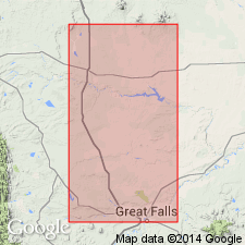
Is the basal formation of Colorado group (rank raised) on Sweetgrass arch of MT. Occurs between Missouri River and International Boundary between the Rocky Mountain front and R8E. Rests sharply on Kootenai formation. Overlain by Floweree member (new) of Marias River shale (new). Divided into four newly named members: Flood (base), Taft Hill glauconitic, Vaughn bentonitic, and Bootlegger (top) members. Of Early Cretaceous, Albian age. Correlates with Fall River sandstone (base), Skull Creek shale, Newcastle sandstone, and Mowry shale (top) of northeast WY. Correlates with upper part of Cheyenne sandstone (base), Kiowa shale, and Omadi formation of western KS. Correlation chart.
Source: GNU records (USGS DDS-6; Denver GNULEX).
- Usage in publication:
-
- Blackleaf formation
- Modifications:
-
- Revised
- AAPG geologic province:
-
- Montana folded belt
Summary:
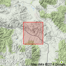
Blackleaf formation of Colorado group. Thickness 3,080 to 3,400 feet in Granite and Powell Counties, Montana. Divided into (descending) Dunkleberg member (new), Taft Hill member, and Flood member. Disconformably overlies Kootenai formation; disconformably underlies Coberly formation (new) of Colorado group. Age is Early Cretaceous (Albian).
Source: Publication.
- Usage in publication:
-
- Blackleaf Formation*
- Modifications:
-
- Overview
- AAPG geologic province:
-
- Sweetgrass arch
Summary:
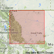
Is the lower formation of the Colorado Group in report area. Divided into Flood (name changed from Flood Shale) at base, Taft Hill, Vaughn, and Bootlegger Members. Measured sections of all four described. Reference sections designated for Taft Hill and Vaughn. Taft Hill-Vaughn contact revised. Report area covers parts of Toole, Pondera, Chouteau, Teton, Lewis and Clark, and Cascade Cos, MT on the Sweetgrass arch. Of Early and Late Cretaceous, late Albian to early Cenomanian age.
Source: GNU records (USGS DDS-6; Denver GNULEX).
- Usage in publication:
-
- Blackleaf Formation*
- Modifications:
-
- Areal extent
- Overview
- AAPG geologic province:
-
- Montana folded belt
Summary:
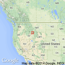
Recognized in Madison and Beaverhead Cos, MT in the Montana folded belt province as the unit above Kootenai Formation and below Frontier Formation. Term Blackleaf preferred because the rocks look more like Blackleaf northwest of Great Falls, MT than Aspen, Thermopolis, or Mowry Shales, names that have been applied by others to rocks of the same stratigraphic interval in this area. Lower contact placed at top of gastropod limestone of upper carbonate member of Kootenai. Ranges from 425 m (south of Lima, MT) to 600 m (north of Dillon, MT). Divided into 4 units. Unit 1 (base) is fluvial and deltaic deposit; unit 2 is a shallow water marine unit in east and nonmarine in west; unit 3 is a fluvial deposit; and unit 4 was deposited on a broad floodplain. Unconformably underlies Frontier Formation. Upper contact placed at base of first thick sandstone, conglomerate, and dark gray shale above upper volcaniclastic unit. Of late Albian, Early Cretaceous age. Correlation chart.
Source: GNU records (USGS DDS-6; Denver GNULEX).
- Usage in publication:
-
- Blackleaf Formation*
- Modifications:
-
- Areal extent
- AAPG geologic province:
-
- Montana folded belt
Summary:
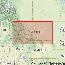
Blackleaf Formation divided into the Flood Member at the base and the Vaughn Member at the top in the Snowcrest Range, at Lima Peaks, and in the Pioneer Mountains of Beaverhead Co, MT in the Montana folded belt province. The Taft Hill and Bootlegger Members of the Blackleaf of the Great Falls area are not recognized in southwest MT. The mountain ranges of Beaverhead Co are the east limit of the name Blackleaf. The axis of the Ruby River valley which separates the Snowcrest Range from the Greenhorn and Gravelly Ranges is used as the arbitrary location of the nomenclature change. The eastern equivalents of the Flood are the Thermopolis Shale and Muddy Sandstone. The eastern equivalent of the Vaughn Member is the Mowry Shale which is divisible into the Vaughn Member (the pastel-colored beds) and an upper part. Unconformably overlies Kootenai Formation and unconformably underlies Frontier Formation. Blackleaf is of Albian, Early Cretaceous age. Stratigraphic chart.
Source: GNU records (USGS DDS-6; Denver GNULEX).
- Usage in publication:
-
- Blackleaf Formation*
- Modifications:
-
- Age modified
- Overview
- AAPG geologic province:
-
- Montana folded belt
Summary:
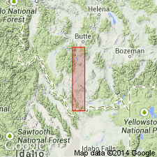
Divided into Flood (base) and Vaughn Members in the eastern Pioneer Mountains and Lima Peaks areas, Beaverhead Co, MT, Montana folded belt province. Taft Hill and Bootlegger Members of Blackleaf not recognized. Overlies gastropod limestone of Kootenai Formation. Unconformably underlies Frontier Formation at Lima Peaks and unnamed Cretaceous rocks in the eastern Pioneers. The Flood is divisible into a lower clastic unit (= sandstone member of Thermopolis Shale), middle shale unit (= shale member of Thermopolis), and upper clastic unit (= Muddy Sandstone). Age of Blackleaf modified. The Flood is late Albian. The Vaughn is early Cenomanian?. Age modification based on correlation of Vaughn with the Mowry Shale whose age has been changed to early Cenomanian by Cobban and Kennedy (1989, USGS Bull. 1787-L). Correlation chart. Measured sections.
Source: GNU records (USGS DDS-6; Denver GNULEX).
- Usage in publication:
-
- Blackleaf Formation*
- Modifications:
-
- Revised
- Overview
- AAPG geologic province:
-
- Montana folded belt
Summary:
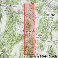
Divided into (ascending) Flood and Vaughn Members in eastern Pioneer Mountains and Drummond and into Flood, Taft Hill, and Vaughn Members in Flint Creek Range all within Montana folded belt province. Taft Hill not recognized in eastern Pioneer Mountains or at Drummond; Bootlegger Member of Blackleaf is not recognized in study area. Revised in that rocks overlying Blackleaf in eastern Pioneer Mountains here assigned to Frontier Formation [assigned to unnamed Cretaceous rocks in earlier report (Dyman and Tysdal, 1990)]; in central-western MT overlying rocks assigned to Coberly Formation. Unconformably overlies Kootenai Formation throughout study area. Five measured sections. Thickness ranges from 3,135 ft at Rock Creek section in eastern Pioneer Mountains to 3,450 ft at Drummond section. Late Albian (Early Cretaceous) to early Cenomanian (Late Cretaceous) age.
Source: GNU records (USGS DDS-6; Denver GNULEX).
For more information, please contact Nancy Stamm, Geologic Names Committee Secretary.
Asterisk (*) indicates published by U.S. Geological Survey authors.
"No current usage" (†) implies that a name has been abandoned or has fallen into disuse. Former usage and, if known, replacement name given in parentheses ( ).
Slash (/) indicates name conflicts with nomenclatural guidelines (CSN, 1933; ACSN, 1961, 1970; NACSN, 1983, 2005, 2021). May be explained within brackets ([ ]).

