- Usage in publication:
-
- Benbolt limestone
- Modifications:
-
- Named
- Dominant lithology:
-
- Limestone
- AAPG geologic province:
-
- Appalachian basin
Summary:
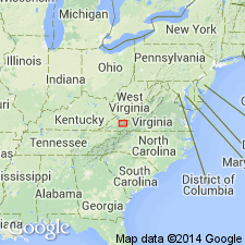
Named the Benbolt limestone for Benbolt, Tazewell Co., southwestern VA. Consists of coarse-grained limestone, OPIKINA beds, CHASMATOPORA beds, and zone of cross-bedded limestone. The coarse-grained limestone and OPIKINA beds are called the Shannondale limestone member, the CHASMATOPORA and cross-bedded limestone are called the Burkes Garden limestone member. Maximum thickness of formation is 325 feet. Unit overlies the Cliffield formation and underlies the Gratton limestone. The Benbolt is probably correlative to the Lenoir limestone. The Benbolt is of Middle Ordovician age.
Source: GNU records (USGS DDS-6; Reston GNULEX).

- Usage in publication:
-
- Benbolt limestone
- Modifications:
-
- Areal extent
- AAPG geologic province:
-
- Appalachian basin
Summary:
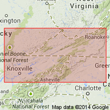
Pg. 1160-1165. Benbolt limestone. Discussion of lower Middle Ordovician of southwest Virginia and northeast Tennessee. Detailed sections measured along seven belts were compared with revised classification of Tazewell County, Virginia. The Blackford, Five Oaks, Lincolnshire, Thompson Valley (new), upper Peery, Benbolt, Wardell, Bowen, Witten, and Moccasin formations extend into Tennessee. Benbolt is well developed in St. Paul belt from Narrows, Virginia, southwest to and beyond Heiskell, Tennessee. At Heiskell, Ulrich (1911) assigned name Heiskell, though without definition, to beds which there presumably contain Benbolt and Wardell formations. In absence of Gratton calcilutite, Benbolt and Wardell formations are essentially inseparable lithologically. Where contact between Benllolt and Wardell cannot be accurately drawn, the two should be combined under Sevier formation as defined in this report. [Age is Middle Ordovician.]
Source: US geologic names lexicon (USGS Bull. 1200, p. 297).

- Usage in publication:
-
- Benbolt Formation
- Modifications:
-
- Revised
- AAPG geologic province:
-
- Appalachian basin
Summary:
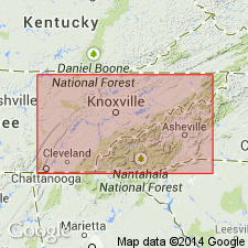
The Benbolt Formation is revised to be included within the Chickamauga Group in eastern TN. The Benbolt consists of predominantly nodular-weathering, yellow, argillaceous limestone to becomes entirely shale to the southeast. Thickness is about 100 meters in central part of study area. Unit overlies the Rockdell Formation and underlies the Wardell Formation, both of the Chickamauga Group. The Benbolt is of Middle Ordovician age.
Source: GNU records (USGS DDS-6; Reston GNULEX).

- Usage in publication:
-
- Benbolt Limestone*
- Modifications:
-
- Areal extent
- Revised
- AAPG geologic province:
-
- Appalachian basin
Summary:
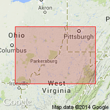
In cross section E-E', extended into subsurface of WV in Pendleton Co. Replaces part of Big Valley Formation of Perry (1964).
Source: GNU records (USGS DDS-6; Reston GNULEX).
For more information, please contact Nancy Stamm, Geologic Names Committee Secretary.
Asterisk (*) indicates published by U.S. Geological Survey authors.
"No current usage" (†) implies that a name has been abandoned or has fallen into disuse. Former usage and, if known, replacement name given in parentheses ( ).
Slash (/) indicates name conflicts with nomenclatural guidelines (CSN, 1933; ACSN, 1961, 1970; NACSN, 1983, 2005, 2021). May be explained within brackets ([ ]).

