- Usage in publication:
-
- Barnett shale
- Modifications:
-
- Original reference
- Dominant lithology:
-
- Shale
- AAPG geologic province:
-
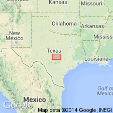
- Llano uplift
- Bend arch
Summary:
Barnett shale, basal formation of Bend group. Consists chiefly of black petroliferous, fissile shale, overlain by thin layers of brownish, concretionary, petroliferous limestone, and with distinctly conglomeratic beds at base, where it rests on Ellenburger limestone (Ordovician). Thickness 0 to 150 feet. Outcrop exposures range from approximately 30 to 50 feet; weathers in most places to a yellow-gray, soft, clayey material containing a few fossils. In other places it is a black, fissile, and nonfossiliferous shale. Present in wells drilled in Mills, Brown, and San Saba Counties, central Texas; north of Brownwood (Brown County), present in nearly all well logs drilled to the Ellenburger, average thickness 80 to 120 feet. Previously called "Lower Bend" shale by Udden and others (1916, Univ. Texas Bull., no. 44). [See also entry under †Bend series.] Underlies massive beds of Marble Falls limestone. The thin limestones at top contain fossils of Mississippian aspect. Age assigned to Pennsylvanian although it may prove to be Late Mississippian. Fossils discussed.
Named from Barnett Springs, about 5 mi east of San Saba [San Saba Co.], mineral region, central TX, near which is a "typical exposure."
See also Plummer and Moore, 1922, Jour. Geol., v. 30, p. 25-26.
Source: US geologic names lexicon (USGS Bull. 896, p. 115); supplemental information from GNU records (USGS DDS-6; Denver GNULEX).

- Usage in publication:
-
- Barnett shale
- Modifications:
-
- Original reference
- Dominant lithology:
-
- Shale
- AAPG geologic province:
-
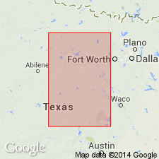
- Llano uplift
- Bend arch
Summary:
Pg. 25-26; see also Univ. Texas Bull., no. 2132. Barnett shale. Yellowish-gray to black bituminous shale, 0 to 50 feet thick. Underlies Marble Falls limestone and overlies Ellenburger limestone. Absent at type locality of Marble Falls limestone. Sharp faunal change between Barnett shale and Marble Falls limestone. Age is Mississippian.
Named from Barnett Springs, about 5 mi east of San Saba [San Saba Co.], mineral region, central TX, near which is a "typical exposure."
Source: US geologic names lexicon (USGS Bull. 896, p. 115).
For more information, please contact Nancy Stamm, Geologic Names Committee Secretary.
Asterisk (*) indicates published by U.S. Geological Survey authors.
"No current usage" (†) implies that a name has been abandoned or has fallen into disuse. Former usage and, if known, replacement name given in parentheses ( ).
Slash (/) indicates name conflicts with nomenclatural guidelines (CSN, 1933; ACSN, 1961, 1970; NACSN, 1983, 2005, 2021). May be explained within brackets ([ ]).

