

- Usage in publication:
-
- Barnett Hill formation
- Modifications:
-
- Original reference
- Dominant lithology:
-
- Limestone
- Chert
- Sandstone
- Shale
- AAPG geologic province:
-
- Arkoma basin
Summary:
Pg. 854 (flg. 1), 858, 859, 902-912. Barnett Hill formation. Proposed for uppermost formation of Morrow series in northwestern Ouachitas and north of Arbuckle Mountains. Unit formerly considered unnamed upper member of Wapanucka here restricted to exclude the Barnett Hill, and included in lower part of Atoka formation by Taff. Consists of calcareous, fossiliferous sandstones and shales; siliceous shale near base; changes laterally within short distances; typically an overlapping deposit. Thickness varies; at first type section 415 feet; at second type section 760 feet. Underlies Atoka formation of Des Moines series; north of Arbuckles and in frontal Ouachitas overlies Wapanucka (restricted) of Morrow series; in southern Ouachitas overlies Round Prairie formation (new). Fossiliferous (foraminifers, ostracods, ammonoids, trilobites, cephalopods). Age is Pennsylvanian (Bendian, Morrow). Morrow series is here included above Pushmataha series in upper part of the Bendian period. Report includes columnar sections, measured sections, correlation chart.
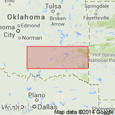
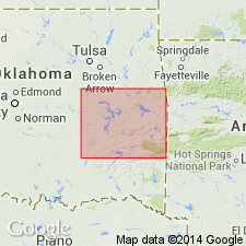
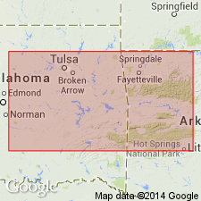
Type locality: Barnett Hill, 1 mi north of Clarita, in sec. 2, T. 1 S., R. 8 E.. Coal Co., southeastern OK. Second type locality: Goose Creek in secs. 19 and 20, T. 1 N., R. 8 E. Named from Barnett Hill. Notable exposures in Hartshorne quarry, south of Choctaw fault, and eastward to Arkansas line.
Source: US geologic names lexicon (USGS Bull. 1200, p. 218); supplemental information from GNU records (USGS DDS-6; Denver GNULEX).
- Usage in publication:
-
- Barnett Hill formation
- Modifications:
-
- Not used
Summary:
Pg. 20. Barnett Hill formation. Harlton suggested separation of Barnett Hill formation containing an unquestionable Morrow fauna from the Atoka. Barnett Hill has been included in the Wapanucka but lithologically is almost inseparable from the overlying Atoka, and for this reason its status as a separate formation is open to criticism. Subsequent workers have not separated the Barnett Hill from the Atoka.
Source: US geologic names lexicon (USGS Bull. 1200, p. 218).
- Usage in publication:
-
- Barnett Hill Formation*
- Modifications:
-
- Adopted
Summary:
Pg. A2-A3, A54, A56-A57 (fig. 5). Barnett Hill Formation of Harlton (1938) adopted by the USGS. Present in northern Arbuckle Mountains, southeastern Oklahoma. Overlies Wapanucka Limestone. Correlates with Atoka Formation of Arkansas, and Ouachita region and Ti Valley-Choctaw block, Oklahoma, and with Lake Murray Formation of Dornick Hills Group of southern Arbuckle Mountains, Oklahoma. Age is Middle Pennsylvanian (Atokan; Westphalian A of Europe); foram zone 21, and ammonoid zones DIABOLOCERAS VARICOSTATUM and WINSLOWOCERAS HENBESTI. [See also Mackenzie Gordon, Jr., and G.C. Stone, 1976, Arkansas Geol. Commission Symposium on the geology of the Ouachita Mountains, v. 1.]
Source: Publication.
For more information, please contact Nancy Stamm, Geologic Names Committee Secretary.
Asterisk (*) indicates published by U.S. Geological Survey authors.
"No current usage" (†) implies that a name has been abandoned or has fallen into disuse. Former usage and, if known, replacement name given in parentheses ( ).
Slash (/) indicates name conflicts with nomenclatural guidelines (CSN, 1933; ACSN, 1961, 1970; NACSN, 1983, 2005, 2021). May be explained within brackets ([ ]).