

- Usage in publication:
-
- Bannock volcanic formation
- Modifications:
-
- Original reference
- AAPG geologic province:
-
- Snake River basin
Summary:
Pg. 3. Bannock volcanic formation. Ancient volcanic rocks, including several flows of lava of probable andesitic composition, tuff beds, and breccias, thin beds of impure limestone, calcareous shale, sandstone, quartzite, and conglomerate, all so highly sheared, mashed, and altered that they may be pre-Cambrian, but writer has tentatively left them at base of Cambrian, until further study. Thickness 1,200+ feet; base not exposed. Top has been taken to include the shale beneath Black Rock limestone. No definite fossils found. Named because its only known occurrence is in Bannock Range. The lavas are purplish, greenish, and reddish, and best described as greenstones.
Source: US geologic names lexicon (USGS Bull. 896, p. 110).
- Usage in publication:
-
- Bannock formation
- Modifications:
-
- Revised
- Dominant lithology:
-
- Tuff
- Breccia
- AAPG geologic province:
-
- Snake River basin
Summary:
Pg. 88-89. See also Ludlum (1943, GSA Bull., v. 54, no. 7, p. 973-986). Bannock formation; also called Bannock volcanics and Bannock volcanic formation in report. Stratigraphically restricted to exclude upper sediments (thin beds of limestone, calcareous shale, sandstone, quartzite, and conglomerate) which are renamed Pocatello formation. Redefined as a series of lavas, tuffs, and volcanic breccias. Minimum thickness 400 feet. Age is Precambrian.
Source: US geologic names lexicon (USGS Bull. 1200, p. 211); supplemental information from GNU records (USGS DDS-6; Denver GNULEX).
- Usage in publication:
-
- Bannock Volcanic Member*
- Modifications:
-
- Revised
- AAPG geologic province:
-
- Snake River basin
Summary:
zzzzzBannock Volcanic Formation of Anderson (1928), as stratigraphically restricted by Ludlum (1942, 1943), is adopted by the USGS as Bannock Volcanic Member, middle member of Pocatello Formation in the Pocatello area, Bannock County, southeastern Idaho. Anderson (1928) applied name Bannock Volcanic Formation to all rocks below †Black Rock Limestone [see entry under Blackrock Canyon]. Ludlum (1942, 1943) restricted the Bannock to exclude the upper sedimentary rocks which he renamed Pocatello Formation. Bannock Volcanic Member consists of volcanic flows and breccias; massive rocks may have porphyritic textures, and may be vesicular and amygdaloidal. Thickness at least 1,000 feet. Overlies unnamed lower member of Pocatello; [underlies and/or interfingers with?] Scout Mountain Member (new), also of Pocatello. Age is late Precambrian.
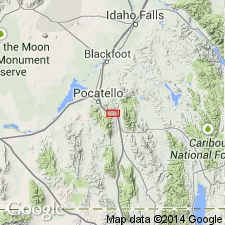
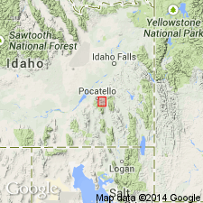
[Principal reference section]: on west slopes of Chinks Peak, about 4 mi east-southeast of Pocatello, in secs. 32 and 33, T. 6 S., R. 35 E., [Bannock Co.], ID (Snake River basin).
[Discrepancy: GNU records (USGS DDS-6, Denver GNULEX, and US geologic names lexicon, USGS Bull. 1520, p. 274) indicate the Bannock Volcanic Member "interfingers with" and "is equivalent to" the Scout Mountain Member. GNC records (USGS Bull. 1372-A, p. A3, A17) indicate the Bannock Volcanic Member "underlies" the Scout Mountain Member. --unresolved.]
Source: Changes in stratigraphic nomenclature, 1971 (USGS Bull. 1372-A, p. A2-A3); US geologic names lexicon (USGS Bull. 1200, Bannock entry p. 211); GNU records (USGS DDS-6; Denver GNULEX).
For more information, please contact Nancy Stamm, Geologic Names Committee Secretary.
Asterisk (*) indicates published by U.S. Geological Survey authors.
"No current usage" (†) implies that a name has been abandoned or has fallen into disuse. Former usage and, if known, replacement name given in parentheses ( ).
Slash (/) indicates name conflicts with nomenclatural guidelines (CSN, 1933; ACSN, 1961, 1970; NACSN, 1983, 2005, 2021). May be explained within brackets ([ ]).