- Usage in publication:
-
- Banded Mountain member*
- Modifications:
-
- Named
- Dominant lithology:
-
- Limestone
- Dolomite
- AAPG geologic province:
-
- Great Basin province
Summary:
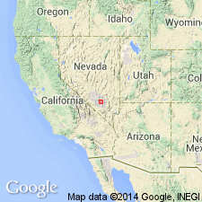
Pg. C-101 (fig. 1872), C-103. Banded Mountain member of Bonanza King formation. Thickness about 2,450 feet thick. A persistant brown-weathering siliceous carbonate sequence about 40 feet thick marks base of member. Is believed to be equivalent of regional key unit that contains trilobite "EHMANIA?" in Desert Range, Spring Mountains, and Nopah Range. Is upper member of Bonanza King; overlies Papoose Lake member (new). Underlies Dunderberg shale. Age is Middle and Late Cambrian; lower part is Middle Cambrian age and upper 300 to 700 feet is Late Cambrian age. Report includes measured sections (shown on sketch map).
Named from exposures on Banded Mountain, Nye Co., southern NV.
Source: GNU records (USGS DDS-6; Menlo GNULEX); US geologic names lexicon (USGS Bull. 1350, p. 45).
- Usage in publication:
-
- Banded Mountain Member*
- Modifications:
-
- Revised
- AAPG geologic province:
-
- Great Basin province
Summary:
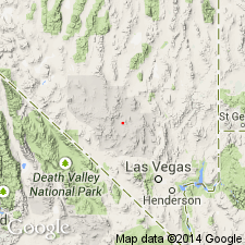
Pg. D27-D31. Banded Mountain Member of Bonanza King Formation. Has 3 local subunits. Lowest, 1,765 feet, is banded sequence of laminated to thin tabular beds of light-gray dolomite and dark-gray limestone. Color bands range in width from several inches to 15 feet. Dolomite predominates over limestone. Lowest 40- to 230-foot sequence is the "brown-weathering siliceous carbonate" referred to by Barnes and Palmer (1961). Middle and upper subunits form 2 broadly contrasting light and dark outcrop bands. Light middle subunit contains about 375 feet of thick to very thin tabular beds of light- to yellowish-gray limestone. Its upper contact is conformable but sharp, its lower contact gradational. Upper subunit contains 300 feet of dark- to light-gray limestone in tabular to somewhat irregular thin beds. Upper 10 feet of subunit is composed of dark-yellowish-brown and medium-gray thin to laminated irregular beds of limestone that contain much bituminous material and weather brownish gray. Middle and upper subunits are equivalent to units C and D of upper part of Johnson and Hibbard's Yucca Flat Formation. Age is Middle and Late Cambrian.
Source: US geologic names lexicon (USGS Bull. 1350, p. 45).
- Usage in publication:
-
- Banded Mountain Member*
- Modifications:
-
- Areal extent
- AAPG geologic province:
-
- Great Basin province
Summary:
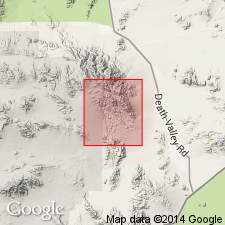
Unit geographically extended into report area [southern Avawatz Mountains, northeastern Mojave Desert region, CA]. Age given as Cambrian.
Source: GNU records (USGS DDS-6; Menlo GNULEX).
- Usage in publication:
-
- Banded Mountain Member*
- Modifications:
-
- Areal extent
- AAPG geologic province:
-
- Great Basin province
Summary:
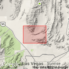
Banded Mountain Member of Bonanza King Formation mapped in subsurface cross-section only in report area [southern Sheep Range, Fossil Ridge, and Castle Rock area, Clark Co, NV]. Bonanza King Formation mapped at surface as undivided.
Source: GNU records (USGS DDS-6; Menlo GNULEX).
- Usage in publication:
-
- Banded Mountain Member*
- Modifications:
-
- Areal extent
- AAPG geologic province:
-
- Great Basin province
Summary:
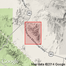
Banded Mountain Member of Bonanza King Formation geographically extended into report area [Bare Mountains, Nye Co, NV]. Age given as Cambrian.
Source: GNU records (USGS DDS-6; Menlo GNULEX).
For more information, please contact Nancy Stamm, Geologic Names Committee Secretary.
Asterisk (*) indicates published by U.S. Geological Survey authors.
"No current usage" (†) implies that a name has been abandoned or has fallen into disuse. Former usage and, if known, replacement name given in parentheses ( ).
Slash (/) indicates name conflicts with nomenclatural guidelines (CSN, 1933; ACSN, 1961, 1970; NACSN, 1983, 2005, 2021). May be explained within brackets ([ ]).

