- Usage in publication:
-
- Anakeesta formation*
- Modifications:
-
- Named
- Dominant lithology:
-
- Siltstone
- Dolomite
- Limestone
- Claystone
- AAPG geologic province:
-
- Appalachian basin
Summary:
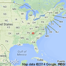
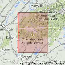
Named as a formation of Great Smoky group of Ocoee series. Named for Anakeesta Ridge, a high spur between Mount Le Conte and Newfound Gap, eastern TN. Type locality is along US Hwy 441 from base of Anakeesta Ridge up to Newfound Gap. Occurs in eastern TN and western NC, well back into Great Smoky Mountains. Crops out in narrow, steep-sided ridges and craggy pinnacles. Consists of dark-gray or black, silty and argillaceous rocks that overlie and intertongue extensively with Thunderhead sandstone. East of Thunderhead Mountain, intertonguing disappears and Anakeesta is unbroken. In a few places, contains thin discontinuous beds of dark-gray sandy dolomite and limestone (the only carbonate rocks in Great Smoky group). Thickness of interbedded sequence is nearly 5,000 feet; unbroken thickness is 4,500 feet. Overlain by Thunderhead sandstone; overlain by a similar but unnamed coarse sandstone. Report includes correlation chart and geologic map. Age is later Precambrian.
Source: GNU records (USGS DDS-6; Reston GNULEX).
- Usage in publication:
-
- Anakeesta Formation
- Modifications:
-
- Overview
- AAPG geologic province:
-
- Appalachian basin
Summary:
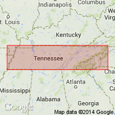
Used as Precambrian Anakeesta Formation of Great Smoky Group of Ocoee Supergroup in Unaka Mountains area.
Source: GNU records (USGS DDS-6; Reston GNULEX).
- Usage in publication:
-
- Anakeesta Formation*
- Modifications:
-
- Areal extent
- Overview
- AAPG geologic province:
-
- Appalachian basin
- Piedmont-Blue Ridge province
Summary:
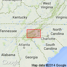
Included in Great Smoky Group of Ocoee Series. Mapped in Blue Ridge belt southeast of Greenbrier-Devils Fork fault in Blount and Sevier Cos., eastern TN, and in Graham and Swain Cos., northwestern NC. Consists of dark-gray to black, thin- to thick-bedded, carbonaceous and sulfidic slate or mica schist, interbedded with feldspathic quartz-mica schist and coarse feldspathic sandstone and conglomerate; intertongues extensively with underlying Thunderhead Sandstone. Age is late Precambrian.
Source: GNU records (USGS DDS-6; Reston GNULEX).
- Usage in publication:
-
- Anakeesta Formation*
- Modifications:
-
- Overview
- AAPG geologic province:
-
- Piedmont-Blue Ridge province
Summary:
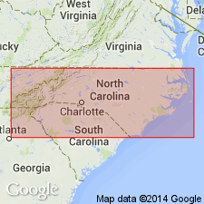
Correlation chart (fig. 2) shows the following relations. The Great Smoky Group in western NC consists of five formations (ascending): Thunderhead, Anakeesta, Grassy Branch (new name), Ammons (new name), and Dean Formations (chart implies that Dean and top of Ammons are time equivalent). Grassy Branch Formation is applied to unnamed beds mapped by King and others (1958) above Anakeesta Formation. In relation to Great Smoky Group mapped by Hurst (1955) in Mineral Bluff quad, GA, Anakeesta correlates with Copperhill Formation, Grassy Branch correlates with Hughes Gap Formation, and Ammons correlates with Hothouse and Dean Formations.
Source: GNU records (USGS DDS-6; Reston GNULEX).
- Usage in publication:
-
- Anakeesta Formation
- Modifications:
-
- Overview
- AAPG geologic province:
-
- Piedmont-Blue Ridge province
Summary:
Previous workers have correlated Murphy belt rocks with Chilhowee Group and both have been considered as younger than Ocoee Supergroup because they both appear to overlie Ocoee rocks; also, some workers presume a correlation between Murphy Marble and Shady Dolomite. Authors suggest that Anakeesta Formation is a lithologic continuation of Nantahala Formation (based on descriptions by Hadley and Goldsmith (1963)) and that it intertongues with and transgressively overlaps Dean Formation and Thunderhead Sandstone to the north. If this is true, then Anakeesta in Great Smoky Mountains is actually younger than Nantahala slate and Tusquitee quartzite in Murphy belt. Murphy rocks are thus a time equivalent of part of Great Smoky Group of Ocoee Supergroup.
Source: GNU records (USGS DDS-6; Reston GNULEX).
- Usage in publication:
-
- Anakeesta Formation
- Modifications:
-
- Overview
- AAPG geologic province:
-
- Piedmont-Blue Ridge province
Summary:
Used as Late Proterozoic Anakeesta Formation of Great Smoky Group of Ocoee Supergroup.
Source: GNU records (USGS DDS-6; Reston GNULEX).
For more information, please contact Nancy Stamm, Geologic Names Committee Secretary.
Asterisk (*) indicates published by U.S. Geological Survey authors.
"No current usage" (†) implies that a name has been abandoned or has fallen into disuse. Former usage and, if known, replacement name given in parentheses ( ).
Slash (/) indicates name conflicts with nomenclatural guidelines (CSN, 1933; ACSN, 1961, 1970; NACSN, 1983, 2005, 2021). May be explained within brackets ([ ]).

