

- Usage in publication:
-
- Wickiup facies
- Modifications:
-
- Named
- Dominant lithology:
-
- Siltstone
- Mudstone
- Claystone
- AAPG geologic province:
-
- Paradox basin
Summary:
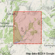
Named as an informal unit in the Torrey Member of the Moenkopi Formation for a prominent mammilary-shaped butte, west-central San Rafael Swell in the Paradox basin. Measured section. No type locality designated. Crops out prominently in north-central San Rafael Swell, northern Stillwater Canyon, and northwestern Circle Cliffs in the Paradox basin. Composed of thin sheet sand bodies intercalated in 30 to 50 foot sequences of slope-forming, thin-bedded to shaly siltstone, mudstone, and claystone that ranges from tannish gray to grayish orange. Sandstones are several ft thick and extremely continuous. Siltstones and mudstones are commonly ripple marked. Was probably deposited in a delta in Early Triassic time.
Source: GNU records (USGS DDS-6; Denver GNULEX).
For more information, please contact Nancy Stamm, Geologic Names Committee Secretary.
Asterisk (*) indicates published by U.S. Geological Survey authors.
"No current usage" (†) implies that a name has been abandoned or has fallen into disuse. Former usage and, if known, replacement name given in parentheses ( ).
Slash (/) indicates name conflicts with nomenclatural guidelines (CSN, 1933; ACSN, 1961, 1970; NACSN, 1983, 2005, 2021). May be explained within brackets ([ ]).