

- Usage in publication:
-
- White Rim sandstone member
- Modifications:
-
- First used
- Dominant lithology:
-
- Sandstone
- AAPG geologic province:
-
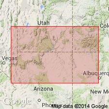
- Paradox basin
Summary:
First published use as a formal name. Originally an informal local name applied to a white sandstone at the top of the Permian at the junction of the Green and Colorado Rivers, San Juan and Wayne Cos, UT in the Paradox basin. Some have also applied name De Chelly to same rocks, but authors believe name De Chelly not appropriate. White Rim extends northeast but disappears near mouth of Lockhart Canyon. Designated as the top member of the Cutler formation above the Cedar Mesa sandstone member (new) of the Cutler and unconformably below the Moenkopi formation. Name derived from a bench between the Green and Colorado Rivers [called? the White Rim]. No type locality designated. Thickness not stated. No detailed lithologic description. Cross sections. Permian age.
Source: GNU records (USGS DDS-6; Denver GNULEX).
- Usage in publication:
-
- White Rim Sandstone
- Modifications:
-
- Overview
- AAPG geologic province:
-
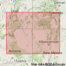
- San Juan basin
Summary:
Used as the upper formation [first published use of this rank?] of the Cutler Group in the San Rafael Swell area and Monument upwarp areas of UT in the Paradox basin. Considered equivalent to and continuous with the De Chelly Sandstone of the Mogollon Rim, central NM and Four Corners areas and to the upper part of the Cutler Formation undifferentiated in the San Juan Mountains. Conformably overlies Organ Rock Shale of Cutler Group. Merges with the underlying and equivalent Cedar Mesa Sandstone in the Swell as these two formations of the Cutler Group are not separable in the subsurface where the intervening Organ Rock is missing. Isopach map. Probably derived from the Cedar Mesa or the Cedar Mesa source. Considered middle or late Leonardian in age.
Source: GNU records (USGS DDS-6; Denver GNULEX).
- Usage in publication:
-
- White Rim Sandstone
- Modifications:
-
- Contact revised
- AAPG geologic province:
-
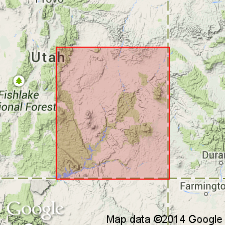
- Paradox basin
Summary:
Upper contact revised in the Orange Cliffs area of San Juan and Grand Cos, UT in the Paradox basin where White Rim underlies the newly named Black Dragon Member of the Moenkopi Formation. White Rim is a quartz sandstone of shallow margin origin that is overlain with local angular unconformity. Cross sections. Of middle to late Leonardian age.
Source: GNU records (USGS DDS-6; Denver GNULEX).
- Usage in publication:
-
- White Rim Sandstone Member*
- Modifications:
-
- Overview
- AAPG geologic province:
-
- Paradox basin
Summary:
Is a member of the Cutler Formation that was deposited in a coastal environment during a marine transgression, a time in the Early Permian when the Canyonlands area, UT, in the Paradox basin was exposed to alternating marine and nonmarine conditions. Three types of eolian deposits (dune, interdune, sabkha.) Pinches out east into Organ Rock Member of Cutler. Underlies an unnamed arkosic sandstone that may be Triassic or Permian. Assigned to the Early Permian.
Source: GNU records (USGS DDS-6; Denver GNULEX).
For more information, please contact Nancy Stamm, Geologic Names Committee Secretary.
Asterisk (*) indicates published by U.S. Geological Survey authors.
"No current usage" (†) implies that a name has been abandoned or has fallen into disuse. Former usage and, if known, replacement name given in parentheses ( ).
Slash (/) indicates name conflicts with nomenclatural guidelines (CSN, 1933; ACSN, 1961, 1970; NACSN, 1983, 2005, 2021). May be explained within brackets ([ ]).