

- Usage in publication:
-
- Union Mountain member
- Modifications:
-
- Named
- Dominant lithology:
-
- Dolomite
- Sand
- AAPG geologic province:
-
- Great Basin province
Summary:
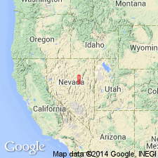
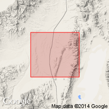
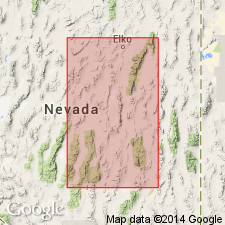
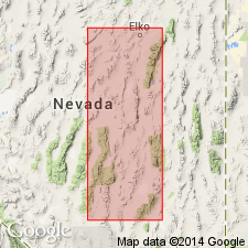
Named for exposures along Union Mtn in NE part of Mineral Hill 15' quad. Type section in Union Mtn [40 deg 11' 26"N, 116 deg 00' 42"W, Elko Co, NV]. Is middle member of three of Nevada formation in Sulphur Springs-Pinyon Ranges area. Characterized by abundance of quartz sand. Can be subdivided into 3 units: a basal cross-stratified light-gray to light brown quartzose dolomite and dolomitic sandstone; a middle division of brown quartzose dolomite and gray clastic crinoidal dolomite; and upper division of gray quartzose dolomite and light gray coarsely crystalline dolomite. Ranges in thickness from 700 to 800 ft in southern part of area, to 830 ft at type section, and to nearly 1200 ft in northern Pinyon Range. Underlies Telegraph Canyon member (new); overlies McColley Canyon member (new) (both of Nevada formation). Correlated with Oxyoke Canyon sandstone member of Early and Middle Devonian age in Eureka district.
Source: GNU records (USGS DDS-6; Menlo GNULEX).
- Usage in publication:
-
- Union Mountain Formation
- Modifications:
-
- Revised
- AAPG geologic province:
-
- Great Basin province
Summary:
Nevada Formation of Carlisle and others (1957) in Sulphur Springs and Pinyon Ranges raised in rank to Nevada Group. Members raised in rank to Union Mountain and Telegraph Canyon Formations. [McColley Canyon Formation, previously raised to formation rank by Johnson (1962)].
Source: GNU records (USGS DDS-6; Menlo GNULEX).
- Usage in publication:
-
- Union Mountain Member
- Modifications:
-
- Not used
- Revised
- AAPG geologic province:
-
- Great Basin province
Summary:
Middle, crinoidal part of Union Mountain Member (Carlisle and others, 1957) recognized as Sadler Ranch Formation (new). Upper part assigned to Oxyoke Canyon Formation; lower part assigned to Beacon Peak Dolomite (upper tongue). "We know now that the Union Mountain is a collection of rock units whose tongues overlap in a transitional area." (p.2200)
Source: GNU records (USGS DDS-6; Menlo GNULEX).
- Usage in publication:
-
- Union Mountain Formation†
- Modifications:
-
- Abandoned
- AAPG geologic province:
-
- Great Basin province
Summary:
Union Mountain Formation is example of abandonment of single name and substitution of Beacon Peak (tongue), upper Bartine tongue, Sadler Ranch Formation, and Oxyoke Canyon Sandstone.
Source: GNU records (USGS DDS-6; Menlo GNULEX).
For more information, please contact Nancy Stamm, Geologic Names Committee Secretary.
Asterisk (*) indicates published by U.S. Geological Survey authors.
"No current usage" (†) implies that a name has been abandoned or has fallen into disuse. Former usage and, if known, replacement name given in parentheses ( ).
Slash (/) indicates name conflicts with nomenclatural guidelines (CSN, 1933; ACSN, 1961, 1970; NACSN, 1983, 2005, 2021). May be explained within brackets ([ ]).