

- Usage in publication:
-
- Swan Lake Flat Basalt*
- Modifications:
-
- Named
- Dominant lithology:
-
- Basalt
- AAPG geologic province:
-
- Yellowstone province
Summary:
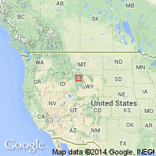
Named after a valley partly surrounded and largely underlain by lavas about 8 km southwest of Mammoth, Yellowstone National Park, WY in the Yellowstone province. Type area designated as Sheepeater Cliffs, on east side of Gardner River Canyon southeast of Bunsen Peak, northeast part of the Park. Is light gray to moderate gray. Contains sparse to abundant large phenocrysts of plagioclase, as much as 1 cm across, and locally some olivine phenocrysts. Is nearly 200 m thick east of Sheepeater Cliffs. Age suggested by stratigraphic relations. Is conformable on the middle Pleistocene Lava Creek Tuff. Is older than the canyon cutting that predated Osprey Basalt. Is part of the third volcanic cycle of the Yellowstone Plateau. Stratigraphic table; cross section.
Source: GNU records (USGS DDS-6; Denver GNULEX).
For more information, please contact Nancy Stamm, Geologic Names Committee Secretary.
Asterisk (*) indicates published by U.S. Geological Survey authors.
"No current usage" (†) implies that a name has been abandoned or has fallen into disuse. Former usage and, if known, replacement name given in parentheses ( ).
Slash (/) indicates name conflicts with nomenclatural guidelines (CSN, 1933; ACSN, 1961, 1970; NACSN, 1983, 2005, 2021). May be explained within brackets ([ ]).