

- Usage in publication:
-
- Island of Sky facies
- Modifications:
-
- Named
- Dominant lithology:
-
- Sandstone
- AAPG geologic province:
-
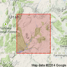
- Paradox basin
Summary:
Named as a facies of the Lower Triassic Black Dragon Member of the Moenkopi Formation. Is a ledge-forming sandstone 60-80 ft thick. The basal sandstone of the facies can be traced for more than 24 mi and covers an area of 288+ sq mi. Known near the Monument upwarp, San Juan Co, UT in the Paradox basin.
Source: GNU records (USGS DDS-6; Denver GNULEX).
For more information, please contact Nancy Stamm, Geologic Names Committee Secretary.
Asterisk (*) indicates published by U.S. Geological Survey authors.
"No current usage" (†) implies that a name has been abandoned or has fallen into disuse. Former usage and, if known, replacement name given in parentheses ( ).
Slash (/) indicates name conflicts with nomenclatural guidelines (CSN, 1933; ACSN, 1961, 1970; NACSN, 1983, 2005, 2021). May be explained within brackets ([ ]).