

- Usage in publication:
-
- Cedar Butte basalt*
- Modifications:
-
- Original reference
- Dominant lithology:
-
- Basalt
- AAPG geologic province:
-
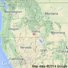
- Snake River basin
Summary:
Pg. 434-439; H.T. Stearns, 1932 (Corr. chart of Idaho compiled by M.G. Wilmarth, dated Sept. 1, 1932). Cedar Butte basalt. Aphanitic blue pahoehoe basalt with fresh green olivine phenocrysts. Thickness exceeds 200 feet where it dammed Snake River near Massacre Rocks. Behind this dam the American Falls lake beds accumulated. Rests, with local unconformity, on thick series of early Pleistocene blue and gray basalt flows which generally consists of olivine and feldspar. Age is Pleistocene.
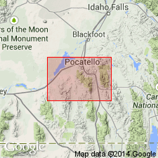
Type locality: Cedar Butte, in T. 8 S., R. 29 E., Power Co., southern ID.
Source: US geologic names lexicon (USGS Bull. 896, p. 381).
- Usage in publication:
-
- Cedar Butte basalt*
- Modifications:
-
- Areal extent
- AAPG geologic province:
-
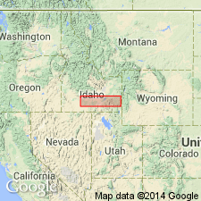
- Snake River basin
Summary:
Pg. 30 (table), 69, pl. 6. Cedar Butte basalt. Aphanitic blue pahoehoe basalt with fresh green olivine phenocrysts. Thickness about 200 feet. Age is Pleistocene.
Source: US geologic names lexicon (USGS Bull. 1200, p. 685).
- Usage in publication:
-
- Cedar Butte Basalt*
- Modifications:
-
- Geochronologic dating
- AAPG geologic province:
-
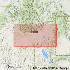
- Snake River basin
Summary:
Pg. 242. Cedar Butte Basalt. Sample from near American Falls, Power Co., eastern Snake River Plain, southern ID, yielded a K-Ar age of 0.11 +/-0.19 Ma (whole-rock); [Rancholabrean North American land mammal age, =late Pleistocene (Evernden and others, 1964, Amer. Jour. Sci., v. 262, p. 145-198)]. Report includes sample locality map, schematic stratigraphic-chronologic diagram, table of K-Ar ages.
Source: Publication.
- Usage in publication:
-
- Cedar Butte Basalt*
- Modifications:
-
- Geochronologic dating
- AAPG geologic province:
-
- Snake River basin
Summary:
Pg. 585, 587. Cedar Butte Basalt of Snake River Group. Age is late Pleistocene. Two whole-rock K-Ar analyses yielded a weighted mean age of 72,000 +/-14,000 yr B.P. for the upper of two lava flows of the Cedar Butte Basalt. Age is consistent with late Pleistocene age of American Falls Lake Beds based on vertebrate and molluscan faunas (Carr and Trimble, 1963). The lava flows of the Cedar Butte Basalt dammed the Snake River, forming the American Falls Lake. Deposits behind the dam belong to the upper part of the American Falls Lake Beds [lacustrine facies].
Source: Publication.
- Usage in publication:
-
- Cedar Butte Basalt*
- Modifications:
-
- Mapped
- AAPG geologic province:
-
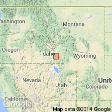
- Snake River basin
Summary:
Cedar Butte Basalt. Lava flow erupted north of Snake River; formed dam for ancestral American Falls lake about 70,000 years ago (Scott and others, 1982, Idaho Bur. Mines. Geol. Bull., no. 26). Thickness 25 to 100 feet (8 to 30 m). Recognized in Power County, southeastern Idaho. Age is late Pleistocene. (Follows Trimble and Carr, 1976.)
Source: Publication.
For more information, please contact Nancy Stamm, Geologic Names Committee Secretary.
Asterisk (*) indicates published by U.S. Geological Survey authors.
"No current usage" (†) implies that a name has been abandoned or has fallen into disuse. Former usage and, if known, replacement name given in parentheses ( ).
Slash (/) indicates name conflicts with nomenclatural guidelines (CSN, 1933; ACSN, 1961, 1970; NACSN, 1983, 2005, 2021). May be explained within brackets ([ ]).