- Usage in publication:
-
- Bird Spring formation*
- Modifications:
-
- Original reference
- Biostratigraphic dating
- Dominant lithology:
-
- Limestone
- Dolomite
- Shale
- Sandstone
- Conglomerate
- Sand
- AAPG geologic province:
-
- Great Basin province
Summary:
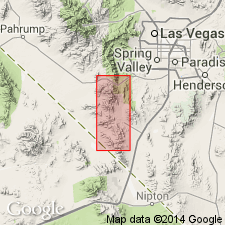
Pg. 9, 21, etc. Bird Spring formation. Gray limestone and dolomite, in beds ranging in thickness from thinnest laminae to 60 feet, separated by shale and sandstone; from Goodsprings northward a conglomeratic sandstone at base; many beds in upper 1,000 feet were doubtless originally dolomite, but it appears probable the remaining lower part was made up wholly of limestone, shale, and sandstone. Thickness 2,500+/- feet. Rests unconformably on Monte Cristo limestone (Mississippian) and underlies Supai formation (Permian). Large Pennsylvanian fauna (listed). Underlies a large area in Bird Spring Range. [Mr. Hewett sent an advance copy of his Goodsprings section, and the names he proposed to apply to the formations, to W.S. Glock, who in 1929 (Amer. Jour. Sci., 5th ser., v. 17. pp. 326-339) described the Bird Springs formation in east-central part of Spring Mountain Range, Goodsprings region, Goodsprings quadrangle, southeastern Nevada.]
Source: US geologic names lexicon (USGS Bull. 896, p. 192).
- Usage in publication:
-
- Bird Spring formation*
- Modifications:
-
- Age modified
- Biostratigraphic dating
- Revised
- AAPG geologic province:
-
- Great Basin province
Summary:
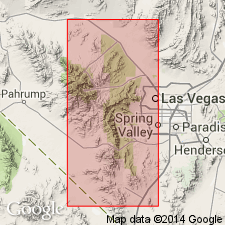
Bird Spring formation in Spring Mountain range, Goodsprings 15' quad, Clark Co, NV, is divided into (ascending): Indian Springs member (700 ft) and 4 unnamed units. Total thickness of the section is 5250 ft. Conformably overlies Monte Cristo limestone and conformably underlies Supai formation. Age is Late Mississippian (Chester) to Early Permian on the basis of fossils identified by G.H. Girty (Late Mississippian) and fusulinids identified by C.O. Dunbar Pennsylvanian to Early Permian (Leonard)) [Early Permian age and Indian Springs member not adopted by the USGS at this time].
Source: GNU records (USGS DDS-6; Menlo GNULEX).
- Usage in publication:
-
- Bird Spring limestone*
- Modifications:
-
- Redescribed
- Areal extent
- AAPG geologic province:
-
- Great Basin province
Summary:
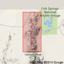
[Bird Spring formation is redescribed as Bird Spring limestone]. Bird Spring limestone is present throughout the northern Confusion Range, UT. About 2600 ft is exposed. Age is Pennsylvanian and Permian on the basis of fossils.
Source: GNU records (USGS DDS-6; Menlo GNULEX).
- Usage in publication:
-
- Bird Spring(?) formation*
- Modifications:
-
- Age modified
- Biostratigraphic dating
- Areal extent
- AAPG geologic province:
-
- Great Basin province
Summary:
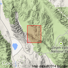
[Unit is questionably extended into Inyo Co, CA] Bird Spring(?) formation in the Ubehebe Peak 15' quad, Inyo Co, CA is divided into 4 unnamed members (ascending): 1) lower limestone member (northern part of quad) is predominantly limestone of intermediate grays in 1- to 3-foot beds; interstratified with shale, partly carbonaceous; small chert nodules near base; 2) shale member (northern part of quad) is grayish-black to dark greenish-gray shale and argillite, considerable siltstone and sandstone; weathering brownish or reddish-brown; some impure platy limestone; 3) upper limestone member (northern part of quadrangle) is medium-gray limestone; somewhat clastic and thin-bedded in lower part; 4) limestone conglomerate member (southwest corner of quad) is brownish weathering cliff-forming conglomerate, consisting of limestone, siltstone, sandstone, and quartzite with much sandy matrix; capped with calcareous sandstone. Thickness in northern part of quad is somewhat more than 4500 ft (limestone conglomerate member is missing). Age is Pennsylvanian (lower limestone member) and Permian (remaining members) on the basis of fusulinids identified by L.G. Henbest.
Source: GNU records (USGS DDS-6; Menlo GNULEX).
- Usage in publication:
-
- Bird Spring limestone
- Modifications:
-
- Biostratigraphic dating
- AAPG geologic province:
-
- Great Basin province
Summary:
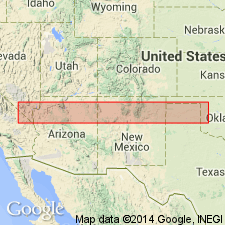
Upper part of Bird Spring limestone is present in the Spring Mountains, Goodsprings 15' quad, Clark Co, NV. Permian age is based on fusulinids. Correlation chart is included.
Source: GNU records (USGS DDS-6; Menlo GNULEX).
- Usage in publication:
-
- Bird Spring Group
- Modifications:
-
- Revised
- AAPG geologic province:
-
- Great Basin province
Summary:
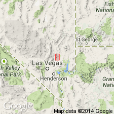
Bird Spring Formation rank raised to Bird Springs Group in Arrow Canyon, Arrow Canyon 7.5' quad, Clark Co, NV. Unit is divided into five subunits (ascending): BSa, BSb, BSc, BSd, BSe. Paraconformably overlies Yellowpine Limestone of the Monte Cristo Group; top of unit truncated by erosion. Section approximately 3500 ft thick. Age is Late Mississippian to Permian on the basis of fossils (corals, brachiopods, fusulinids).
Source: GNU records (USGS DDS-6; Menlo GNULEX).
- Usage in publication:
-
- Bird Spring Group
- Modifications:
-
- Revised
- AAPG geologic province:
-
- Great Basin province
Summary:
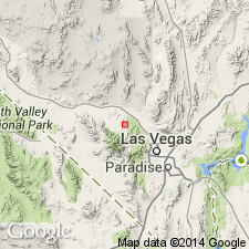
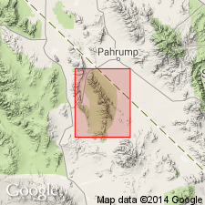
Bird Spring Formation rank raised to Bird Spring Group near Lee Canyon, Clark Co, NV. Author recommends that unit be divided into (ascending): Indian Springs Formation [rank raised] and an unnamed upper unit. Disconformably overlies Monte Cristo Formation. Unit is further informally divided into sections of the basis of time-stratigraphic boundaries. A 7200 ft measured section extends from NE/4 sec.34 T17S R57E through secs.27,28,21,20 and 17 T17S R57E in the Charleston Peak 15' quad. Detailed lithology, zonation, and correlation in Rich (1961). Age ranges from Chesterian to Leonardian [Late Mississippian to Early Permian] on the basis of fusulinids. Author disagrees with nomenclature proposed by Langenheim and others (1962) for Bird Spring Group at Arrow Canyon, Clark Co, NV.
Source: GNU records (USGS DDS-6; Menlo GNULEX).
- Usage in publication:
-
- Bird Spring Formation*
- Modifications:
-
- Areal extent
- AAPG geologic province:
-
- Great Basin province
Summary:
Bird Spring Formation is geographically extended into Inyo Co., CA. Age is shown as Pennsylvanian.
Source: GNU records (USGS DDS-6; Menlo GNULEX).
- Usage in publication:
-
- Bird Spring Formation*
- Modifications:
-
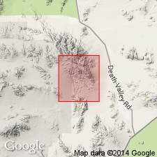
- Areal extent
- AAPG geologic province:
-
- Great Basin province
Summary:
Bird Spring Formation and Monte Cristo Formation are geographically extended into and mapped as an undivided unit in the southern Avawatz Mountains, San Bernardino Co, CA. Age of Bird Spring Formation is Pennsylvanian and Permian.
Source: GNU records (USGS DDS-6; Menlo GNULEX).
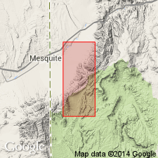
- Usage in publication:
-
- Bird Spring Formation*
- Modifications:
-
- Areal extent
- AAPG geologic province:
-
- Plateau sedimentary province
Summary:
Extended into northwest Mohave Co, AZ, Plateau sedimentary province. [Extended from Muddy and northern Black Mountains Clark Co, NV]. Upper part probably includes rocks that are mapped elsewhere in region as Pakoon Formation and lower part includes rocks mapped elsewhere as Callville Limestone. Callville and Pakoon are difficult to differentiate on a consistent basis throughout mapped area. Thickness is 360-400 m. Unconformably overlies Monte Cristo Limestone; conformably underlies lower member of Esplanade Sandstone. Pennsylvanian and Early Permian age.
Source: GNU records (USGS DDS-6; Denver GNULEX).
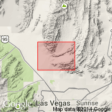
- Usage in publication:
-
- Bird Spring Formation*
- Modifications:
-
- Areal extent
- AAPG geologic province:
-
- Great Basin province
Summary:
Bird Spring Formation is geographically extended into the Sheep Range, Fossil Ridge, and Castle Rock areas, Clark Co, NV. Age is Early Pennsylvanian to Early Permian.
Source: GNU records (USGS DDS-6; Menlo GNULEX).
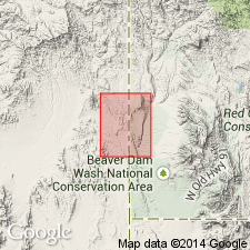
- Usage in publication:
-
- Bird Spring Formation*
- Modifications:
-
- Areal extent
- Mapped 1:24k
- AAPG geologic province:
-
- Great Basin province
Summary:
Extended into Washington Co, UT, and Lincoln Co, NV, Great Basin province. Large exposure mapped in central part of quad. Consists of cyclic medium gray limestone, dolomite, and sandstone; limestone commonly contains chert nodules. Lower part is mostly limestone becoming more dolomitic in upper part; upper part may be equivalent to Pakoon Dolomite. Forms repeated slope-ledge staircase weathering pattern. Fossils include brachiopods, corals, bryozoan, and crinoid debris. Base not exposed; apparent thickness is more than 600 m; true thickness may be less because some unmapped faults may repeat parts of unit. Conformably overlies Monte Cristo Limestone; conformably underlies Queantoweap Sandstone with gradational contact. Pennsylvanian and Early Permian age.
Source: GNU records (USGS DDS-6; Denver GNULEX).
For more information, please contact Nancy Stamm, Geologic Names Committee Secretary.
Asterisk (*) indicates published by U.S. Geological Survey authors.
"No current usage" (†) implies that a name has been abandoned or has fallen into disuse. Former usage and, if known, replacement name given in parentheses ( ).
Slash (/) indicates name conflicts with nomenclatural guidelines (CSN, 1933; ACSN, 1961, 1970; NACSN, 1983, 2005, 2021). May be explained within brackets ([ ]).

