

- Usage in publication:
-
- Aysees member*
- Modifications:
-
- Original reference
- Dominant lithology:
-
- Limestone
- AAPG geologic province:
-
- Great Basin province
Summary:
Pg. C108, C110 (fig. 189.1). Aysees member of Antelope Valley limestone of Pogonip group. Top member of Antelope Valley limestone; overlies Ranger Mountains member (new). Underlies Eureka quartzite. Consists of: (1) a lower part (=unit H of Johnson and Hibbard, 1957, USGS Bull. 1021-K), cliff-forming, medium- to dark-gray thick-bedded limestone, 330 feet thick, upper beds carry abundant PALLISERIA ROBUSTA and RECEPTACULITES sp.; and (2) an upper part (=unit I of Johnson and Hibbard), medium- to dark-gray limestone, 440 feet thick, contains thin-bedded siliceous and laminated silty limestone that weathers shades of orange and brown, two pink ledges in lower middle, carries "LICHENARIA" sp. and EOFLETCHERIA sp. (W.A. Oliver, written commun., 1961), ORTHAMBONITES PAUCICOSTATA, ANOMALORTHIS OKLAHOMENSIS, and DESMORTHIS? cf. D. NEVADENSIS. Age is Early and Middle Ordovician.
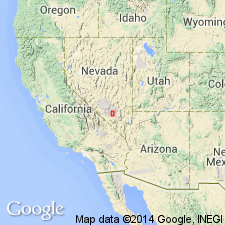
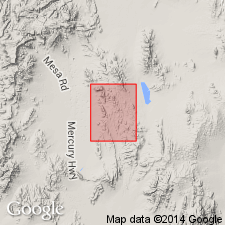
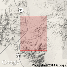
Type locality: Aysees Peak, [Lat. 36 deg. 53 min. 32 sec. N., Long. 115 deg. 47 min. 39 sec. W., Aysees Peak 7.5-min quadrangle], Lincoln Co., southern NV.
Ranger Mountains measured section (loc. 3), [approx. Lat. 36 deg. 47 min. 22 sec. N., Long. 115 deg. 52 min. 48 sec. W., eastern edge Frenchman Lake 15-min quadrangle (Frenchman Flat quadrangle), Las Vegas Bombing and Gunnery Range / Desert National Wilderness Range, Clark Co., southern NV].
[Additional locality information from USGS GNIS database and USGS historical topographic map collection TopoView, accessed Memorial Day, 2018.]
Source: Publication; US geologic names lexicon (USGS Bull. 1350, p. 37-38).
- Usage in publication:
-
- Aysees Member*
- Modifications:
-
- Mapped
- Dominant lithology:
-
- Limestone
- AAPG geologic province:
-
- Great Basin province
Summary:
Aysees Member of Antelope Valley Limestone of Pogonip Group. Mapped in Nye County, Nevada, where it is 950+/- feet thick. Consists mostly of medium- to dark-gray limestone. Forms varicolored stairstep slope. Overlies Ranger Mountains Member of Antelope Valley Limestone. Underlies Eureka Quartzite. Age is Early and Middle Ordovician.
Source: Publication; US geologic names lexicon (USGS Bull. 1350, p. 37-38).
- Usage in publication:
-
- Aysees Member*
- Modifications:
-
- Age modified
- Biostratigraphic dating
- AAPG geologic province:
-
- Great Basin province
Summary:
Aysees Member of Antelope Valley Limestone. Recognized in southern Nevada. Age changed from Early and Middle Ordovician --to-- Middle Ordovician, based on studies of mudmounds with STROMATACTIS structures.
Source: GNU records (USGS DDS-6; Menlo GNULEX); Changes in stratigraphic nomenclature, 1975 (USGS Bull. 1422-A, p. A2-A3).
For more information, please contact Nancy Stamm, Geologic Names Committee Secretary.
Asterisk (*) indicates published by U.S. Geological Survey authors.
"No current usage" (†) implies that a name has been abandoned or has fallen into disuse. Former usage and, if known, replacement name given in parentheses ( ).
Slash (/) indicates name conflicts with nomenclatural guidelines (CSN, 1933; ACSN, 1961, 1970; NACSN, 1983, 2005, 2021). May be explained within brackets ([ ]).