The National Geologic Map Database is migrating to a new infrastructure. We apologize for any service disruptions during this process.
|
|---|


- Usage in publication:
-
- Wrangell lavas*
- Modifications:
-
- Named
- Dominant lithology:
-
- Basalt
- Andesite
- Diabase
- Dacite
- Tuff
- AAPG geologic province:
-
- Alaska Southern region
Summary:
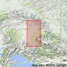
Forms entire western portion of Wrangell group of mountains. Is succession of lava flows and tuffs, chiefly composed of andesite including diabases and dacites. Petrographic analysis included in report. At Mt Drum varicolored tuffs are approximately 4300 to 6400 ft thick succeeded by 4000 or 5000 ft of lavas. It is thought that eruptions began in Tertiary (probably Eocene?) and have continued to the present.
Source: GNU records (USGS DDS-6; Menlo GNULEX).
- Usage in publication:
-
- Wrangell lava*
- Modifications:
-
- Overview
- AAPG geologic province:
-
- Alaska Southern region
Summary:
Occupies irregular elongated area extending from lower western slopes of Mount Drum to international boundary, distance of about 130 mi. Proportion of fragmental beds, tuffs, and agglomerates is much greater in western part of area (eastern part of Alaska Range and adjacent areas). Thickness varies with distance from vents; may be 12,000 ft or more near Mount Sanford. Fossil plants were collected by writer in Skolai Creek valley and assigned Eocene age by E.W. Berry. Mapped as Tertiary to Recent [Holocene] age.
Source: GNU records (USGS DDS-6; Menlo GNULEX).
- Usage in publication:
-
- Wrangell Lava*
- Modifications:
-
- Age modified
- AAPG geologic province:
-
- Alaska Southern region
Summary:
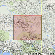
Regionally, Wrangell Lava was extruded from Miocene to Holocene time. Only lower part of Wrangell is preserved in McCarthy B-4 quad where it contains several flows of olivine basalt and few pyroclastic layers considered to be of Miocene age. Intercalated with sedimentary rocks of Frederika Formation of Miocene age.
Source: GNU records (USGS DDS-6; Menlo GNULEX).
- Usage in publication:
-
- Wrangell Lava*
- Modifications:
-
- Geochronologic dating
- AAPG geologic province:
-
- Alaska Southern region
Summary:
Has K-Ar age of 18.4 Ma from hornblende porphyry sample from Nabesna A-4 quad; 13.9 +/-0.8 Ma from basalt flow; 2.77 +/-0.1 Ma and 1.97 +/-0.15 Ma from andesite flows from Nabesna B-5 and C-5 quads; 3.74 Ma from rhyodacite; 1.46 +/-0.03 Ma from andesite flow from Nabesna A-5 quad and 0.85 +/-0.21 Ma from Nabesna A-5 quad [these samples from other quads being similar to rocks of Wrangell Lava in Nabesna B-5 quad]. Age of Wrangell in Nabesna B-5 mapped as Miocene, Pliocene, and Pleistocene age; many various lithologies shown separately. Chemical analyses included in report.
Source: GNU records (USGS DDS-6; Menlo GNULEX).
- Usage in publication:
-
- Wrangell Lava*
- Modifications:
-
- Areal extent
- AAPG geologic province:
-
- Alaska Southern region
Summary:
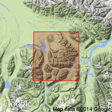
Unit geographically extended into report area (Nabesna B-6 quad]. Age is given as Pliocene to Holocene(?).
Source: GNU records (USGS DDS-6; Menlo GNULEX).
For more information, please contact Nancy Stamm, Geologic Names Committee Secretary.
Asterisk (*) indicates published by U.S. Geological Survey authors.
"No current usage" (†) implies that a name has been abandoned or has fallen into disuse. Former usage and, if known, replacement name given in parentheses ( ).
Slash (/) indicates name conflicts with nomenclatural guidelines (CSN, 1933; ACSN, 1961, 1970; NACSN, 1983, 2005, 2021). May be explained within brackets ([ ]).