- Usage in publication:
-
- Woodpecker limestone member*
- Modifications:
-
- Original reference
- Dominant lithology:
-
- Limestone
- AAPG geologic province:
-
- Great Basin province
Summary:
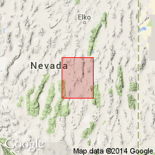
Pg. 44-45, pl. 2. Woodpecker limestone member, 2nd from uppermost member of Nevada formation. Consists of thin- to medium-bedded limestone not uncommonly sandy or argillaceous. Limestones fine-grained to aphanitic or porcellaneous and light-olive-gray to dark-gray. Weathering of shaly partings produces pinkish or yellowish colors. In Oxyoke Canyon, includes a somewhat "punky" calcareous shale carrying numerous pteropods of Styliolina affinity. Thickness ranges from 220 to 450 feet. Lower boundary notably gradational with underlying Sentinel Mountain dolomite member (new) whereas contact with overlying Bay State dolomite member (new) is quite sharp being marked by varying thickness of light-gray dolomite sand at base of Bay State dolomite member. Calcareous nature of unit between the two dolomite members serves to distinguish it. Age is Middle Devonian.
Type locality: in gulch draining south slope of Woodpeckers Peak, which is situated on north boundary of Oxyoke Canyon, in vicinity of Eureka. Origin of name not stated, but probably named from Woodpeckers Peak [Lat. 39 deg. 27 min. 00 sec. N., Long. 115 deg. 53 min. 44 sec. W., Pinto Summit 15-min quadrangle, White Pine Co., NV].
Source: US geologic names lexicon (USGS Bull. 1200, p. 4296); supplemental information from GNU records (USGS DDS-6; Menlo GNULEX).

- Usage in publication:
-
- Woodpecker Limestone?
- AAPG geologic province:
-
- Great Basin province
Summary:
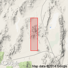
Chart shows Nevada Group in Roberts Mtns., Simpson Park Range, Sulphur Spring Range, and east of Eureka. Woodpecker Limestone(?) extended westward into Sulphur Spring Range [rocks formerly called limestone tongue of Telegraph Canyon Member of Nevada Formation by Carlisle and others (1957)].
Source: GNU records (USGS DDS-6; Menlo GNULEX).

- Usage in publication:
-
- Woodpecker Limestone Member*
- Modifications:
-
- Areal extent
- AAPG geologic province:
-
- Great Basin province
Summary:
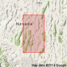
Recognized in S end of Sulphur Spring Range, Eureka Co, NV. Overlies Sentinel Mountain Dolomite Member of Nevada Formation. Top surface is unexposed. Underlies Bay State Dolomite Member (Nevada Formation)
Source: GNU records (USGS DDS-6; Menlo GNULEX).

- Usage in publication:
-
- Woodpecker Limestone*
- Modifications:
-
- Revised
- AAPG geologic province:
-
- Great Basin province
Summary:
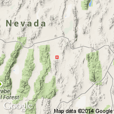
"Because ... every member of the Nevada Formation possesses all the characteristics of a formation we here elevate each of its members to formation rank and abandon the name Nevada Formation". Unconformably(?) underlies South Hill Sandstone and overlies Sentinel Mountain Dolomite in south Fish Creek Range.
Source: GNU records (USGS DDS-6; Menlo GNULEX).
For more information, please contact Nancy Stamm, Geologic Names Committee Secretary.
Asterisk (*) indicates published by U.S. Geological Survey authors.
"No current usage" (†) implies that a name has been abandoned or has fallen into disuse. Former usage and, if known, replacement name given in parentheses ( ).
Slash (/) indicates name conflicts with nomenclatural guidelines (CSN, 1933; ACSN, 1961, 1970; NACSN, 1983, 2005, 2021). May be explained within brackets ([ ]).

