- Usage in publication:
-
- Woodbury bed
- Modifications:
-
- Named
- Dominant lithology:
-
- Clay
- AAPG geologic province:
-
- Atlantic Coast basin
Summary:
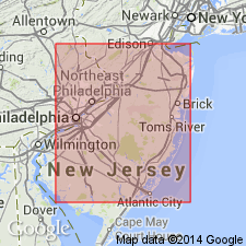
Woodbury bed described as dove-colored clay underlying Columbus bed [Englishtown sand] and overlying Merchantville bed. All included in Clay Marl series [Matawan Group].
Source: GNU records (USGS DDS-6; Reston GNULEX).
- Usage in publication:
-
- Woodbury clay
- Modifications:
-
- Revised
- AAPG geologic province:
-
- Atlantic Coast basin
Summary:
Woodbury clay is thick black clay, which weathers to dove or light chocolate color. Thickness approximately 55 ft. Underlies Columbus sand and overlies Merchantville clay.
Source: GNU records (USGS DDS-6; Reston GNULEX).
- Usage in publication:
-
- Woodbury Formation
- Modifications:
-
- Overview
- AAPG geologic province:
-
- Atlantic Coast basin
Summary:
The Woodbury Formation of the Matawan Group consists of dark gray massive silty micaceous clay, weathering to a chocolate brown color with blocky fracture. Reaches a maximum of 15 m in outcrop. Fauna is notable for its preservation of original aragonitic shell material. In NJ, unit can be traced from Raritan Bay in the northeast to Gloucester Co. in the southwestern part of the outcrop belt. Although Owens and others (1970) did not recognize the Woodbury in DE, field work by this author has established that a unit lithologically indistinguishable from the Woodbury is present at the Deep Cut section along the north bank of the Chesapeake and Delaware Canal near Summit Bridge, New Castle Co. Crops out generally along stream banks especially in Camden and Gloucester Cos. The Woodbury increases in thickness in the subsurface and the expense of the overlying Englishtown Formation. Overlies the Merchantville Formation, which also increases in thickness in the subsurface. Age is late early Campanian.
Source: GNU records (USGS DDS-6; Reston GNULEX).
- Usage in publication:
-
- Woodbury Formation
- Modifications:
-
- Overview
- AAPG geologic province:
-
- Atlantic Coast basin
Summary:
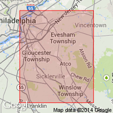
Fourteen outcrops of the Woodbury and basal Englishtown Formations in Burlington, Camden, and Gloucester Cos. are discussed in this report. Several are previously unreported exposures. Where the Englishtown is absent, the Woodbury underlies the Marshalltown Formation. The Woodbury invertebrate fauna is varied and larger than any other single NJ Upper Cretaceous formation. It is very similar to the fauna of the Merchantville Formation and author suggests that the two formations are correlative. The Woodbury was recognized as a correlative, at least in part, to the Black Creek Formation of NC.
Source: GNU records (USGS DDS-6; Reston GNULEX).
- Usage in publication:
-
- Woodbury Clay*
- Modifications:
-
- Biostratigraphic dating
- AAPG geologic province:
-
- Atlantic Coast basin
Summary:
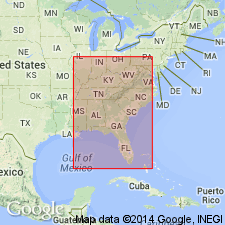
Woodbury Clay shown as Late Cretaceous (early Campanian) on fig. 1. Early Campanian age based on SCAMBULA PERPLANA collected from Camden Co., central NJ.
Source: GNU records (USGS DDS-6; Reston GNULEX).
- Usage in publication:
-
- Woodbury Formation*
- Modifications:
-
- Overview
- AAPG geologic province:
-
- Atlantic Coast basin
Summary:
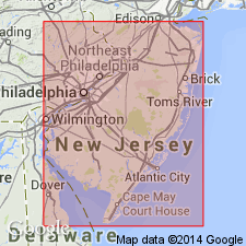
The Woodbury Formation in NJ consists of dark-gray, brown or orange-pink weathering clay-silt that is conspicuously micaceous throughout. Thickness is about 16 meters but thins to the southwest. Overlies the Merchantville Formation and underlies the Englishtown Formation. The Woodbury is of Late Cretaceous (early Campanian) age.
Source: GNU records (USGS DDS-6; Reston GNULEX).
For more information, please contact Nancy Stamm, Geologic Names Committee Secretary.
Asterisk (*) indicates published by U.S. Geological Survey authors.
"No current usage" (†) implies that a name has been abandoned or has fallen into disuse. Former usage and, if known, replacement name given in parentheses ( ).
Slash (/) indicates name conflicts with nomenclatural guidelines (CSN, 1933; ACSN, 1961, 1970; NACSN, 1983, 2005, 2021). May be explained within brackets ([ ]).

