- Usage in publication:
-
- Wind River deposits*
- Modifications:
-
- First used
- Dominant lithology:
-
- Sandstone
- AAPG geologic province:
-
- Wind River basin
Summary:
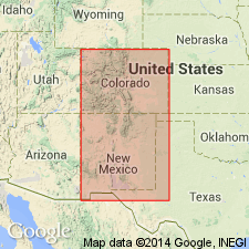
Limited to Wind River Valley, Fremont Co, WY in the Wind River basin, where it is composed of indurated sands and clays, a few layers of sandstones, and some calcareous concretions. Is very light gray, but sometimes brown with reddish bands. Is very fossiliferous and doubtless of middle Tertiary age.
Source: GNU records (USGS DDS-6; Denver GNULEX).
- Usage in publication:
-
- Wind River formation
- Modifications:
-
- Revised
- AAPG geologic province:
-
- Wind River basin
Summary:
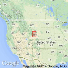
Name Wind River formation and Wind River series applied in Lost Cabin area, Fremont Co, WY in the Wind River basin where unit can be separated into two parts based on presence or absence of LAMBDOTHERIUM. The lower rocks or those rocks without LAMBDOTHERIUM are named Lysite stage of Wind River series or Lysite formation. The upper rocks or those with LAMBDOTHERIUM are named Lost Cabin stage of Wind River series, Lost Cabin stage of Wind River formation, or as Lost Cabin formation. [Term Wind River group not used.] Eocene age.
Source: GNU records (USGS DDS-6; Denver GNULEX).
- Usage in publication:
-
- Wind River formation*
- Modifications:
-
- Revised
- AAPG geologic province:
-
- Wind River basin
Summary:
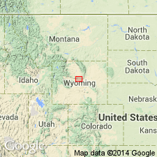
Considered to be of formation rank and of early Eocene age. Divided into Lysite (lower) and Lost Cabin (upper) members. These members can be mapped (geologic map) along the southern margin of the Big Horn Mountains, Ts38 to 40N, Rs88 to 94W, Natrona and Fremont Cos, WY in the Wind River basin. The formation is underlain by undivided Cretaceous rocks and is overlain by unnamed middle Eocene rocks in map area. Stratigraphic chart. Fossil mammals found in each member listed.
Source: GNU records (USGS DDS-6; Denver GNULEX).
- Usage in publication:
-
- Wind River Formation*
- Modifications:
-
- Revised
- Overview
- AAPG geologic province:
-
- Wind River basin
Summary:
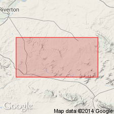
Underlies newly named Wagon Bed Formation. Exposures along northeast border of Wind River basin near Lysite and Lost Cabin, about 40 mi northeast of Riverton, have become the standard for comparison. Wedges out south and southwest of Beaver Rim against the Sweetwater uplift, Sweetwater and Sheep Mountain anticlines, and east against Rattlesnake Hills anticline. Thickens northward into the basin--greater than 2,400 ft in the Riverton anticline. Composed of lenticular beds of poorly sorted feldspathic to arkosic sandstone, pebble conglomerate, and variegated mudstone. Is poorly cemented with calcium carbonate. Most of detritus derived from Precambrian rocks of Sweetwater uplift. Quartzite, chert, limestone, and scarce rounded tourmaline and glauconite grains from Paleozoic and Mesozoic rocks. Acidic volcanic debris in upper part increases westward suggesting source in Absaroka volcanic field. Has fossil mammals and plants of middle and late Wasatchian, early Eocene age. Accumulated in a humid, warm-temperate to subtropical climate in valley-flat and piedmont environment.
Source: GNU records (USGS DDS-6; Denver GNULEX).
- Usage in publication:
-
- Wind River Formation*
- Modifications:
-
- Revised
- AAPG geologic province:
-
- Wind River basin
Summary:
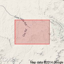
Thick arkose formerly called the upper coarse-grained facies named Puddle Springs Arkose Member of Wind River Formation, in Wind River basin. Puddle Springs is about 400 to 800 ft thick and is underlain by a 0 to 130 ft thick lower fine-grained variegated (green and gray with red bands) member and is overlain by an upper transition zone 50 to 100 ft thick. Puddle Springs has three newly named beds--the East Canyon Conglomerate Bed, about 100 ft above base of the formation; Dry Coyote Conglomerate Bed, just below middle of the formation and about 320 ft above base of Puddle Springs; and Muskrat Conglomerate Bed, 100 ft above Dry Coyote and above middle of the formation. Wind River is regarded as latest early Eocene, or Lost Cabin age.
Source: GNU records (USGS DDS-6; Denver GNULEX).
- Usage in publication:
-
- Wind River Formation*
- Modifications:
-
- Contact revised
- AAPG geologic province:
-
- Yellowstone province
Summary:
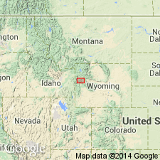
Lower contact revised in that Wind River Formation overlies the newly named Devils Basin Formation in Teton Co, WY in the Yellowstone province.
Source: GNU records (USGS DDS-6; Denver GNULEX).
For more information, please contact Nancy Stamm, Geologic Names Committee Secretary.
Asterisk (*) indicates published by U.S. Geological Survey authors.
"No current usage" (†) implies that a name has been abandoned or has fallen into disuse. Former usage and, if known, replacement name given in parentheses ( ).
Slash (/) indicates name conflicts with nomenclatural guidelines (CSN, 1933; ACSN, 1961, 1970; NACSN, 1983, 2005, 2021). May be explained within brackets ([ ]).

