The National Geologic Map Database is migrating to a new infrastructure. We apologize for any service disruptions during this process.
|
|---|


- Usage in publication:
-
- Willowvale Shale
- Modifications:
-
- Overview
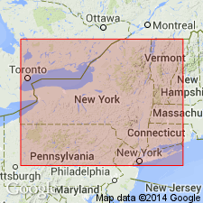
- AAPG geologic province:
-
- Appalachian basin
Summary:
The Willowvale Shale is exactly equivalent to the Williamson Shale because both are bounded by the same biostratigraphically-dated discontinuity surfaces. Earlier correlations of the upper Willowvale with the Irondequoit are in error. The Williamson-Willowvale sequence records a major marine transgression with at least one major regressive subcycle. New litho- and biostratigraphic data support Gillette's (1947) original contention that the underlying Westmoreland Hematite is genetically related to the Willowvale. Age of both units is Early Silurian (late Llandoverian).
Source: GNU records (USGS DDS-6; Reston GNULEX).
For more information, please contact Nancy Stamm, Geologic Names Committee Secretary.
Asterisk (*) indicates published by U.S. Geological Survey authors.
"No current usage" (†) implies that a name has been abandoned or has fallen into disuse. Former usage and, if known, replacement name given in parentheses ( ).
Slash (/) indicates name conflicts with nomenclatural guidelines (CSN, 1933; ACSN, 1961, 1970; NACSN, 1983, 2005, 2021). May be explained within brackets ([ ]).