- Usage in publication:
-
- Willow Canyon formation
- Modifications:
-
- First used
- Dominant lithology:
-
- Conglomerate
- Sandstone
- Siltstone
- AAPG geologic province:
-
- Basin-and-Range province
- Pedregosa basin
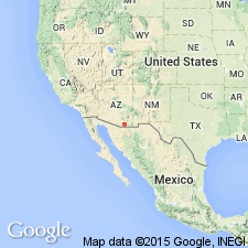
Summary:
Used for first time in a published report. Is 6,200 feet thick in Cienega Wash, Pima Co, AZ, Basin-and-Range province whereas it is only 433 feet thick in Whetstone Mountains to southeast, its type "locality" in Pima and Cochise (Pedregosa basin) Cos, AZ. Divided into a basal conglomerate (derived primarily from Concha and Rainvalley Formations) member, and an upper member of olive-gray to brown sandstone and siltstone. The basal conglomerate has a moderate reddish-brown calcareous matrix around subround to subangular limestone pebbles and cobbles. Sandstone in the upper member is medium to coarse grained and thick-bedded. Cross beds, graded beds, ripple marks, flute casts and fossil wood are common. Correlates with the Glance Conglomerate and Morita Formation of the Bisbee area and Huachuca Mountains. Underlies Apache Canyon formation (first published use). Is of Early Cretaceous age.
Source: GNU records (USGS DDS-6; Denver GNULEX).
- Usage in publication:
-
- Willow Canyon Formation*
- Modifications:
-
- Reference
- Dominant lithology:
-
- Siltstone
- Sandstone
- AAPG geologic province:
-
- Basin-and-Range province
- Pedregosa basin
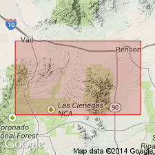
Summary:
Accepted as a formation of Bisbee Group in Empire Mountains. Restricted to rocks above Glance Conglomerate. Type section is Whetstone Mountains in Pedregosa basin and Basin-and-Range province, SE1/4 sec 25, T18S, R18E. Reference section in Empire Mountains, Basin-and-Range province, extends from S1/2 sec 18 to NW1/4 sec 29, T18S, R17E. Consists of alternating sandstone, gray to brown, arkosic, cross-bedded and locally conglomeratic. The pebbles and cobbles are well rounded and composed of quartzite, granodiorite, and quartz diorite. Also consists of dark reddish brown in lower part and olive gray in upper part siltstone with a few thin beds of silty limestone in upper 300 ft. Overlies Glance Conglomerate and grades northward into Glance Conglomerate. 3,000 ft thick in southern part of Empire Mountains. Conformably overlain by Apache Canyon Formation (adopted). Is of Early Cretaceous age. Contains fossil freshwater gastropods.
Source: GNU records (USGS DDS-6; Denver GNULEX).
- Usage in publication:
-
- Willow Canyon Formation*
- Modifications:
-
- Overview
- AAPG geologic province:
-
- Basin-and-Range province
- Pedregosa basin
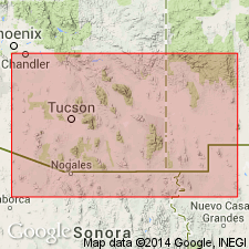
Summary:
Is formation of Bisbee Group in Santa Rita Mountains (Santa Cruz and Pima Cos, AZ) and Empire Mountains (Pima Co, AZ) in Basin-and-Range province, and in Whetstone Mountains (Pima and Cochise Cos, AZ) in Basin-and-Range province and Pedregosa basin. Overlies Glance Conglomerate (Aptian) with gradational contact; underlies Apache Canyon Formation (Aptian and Albian) with gradational contact. Ranges in thickness from 0 to 570 ft in Whetstone Mountains, from 0 to at least 3,000 ft in Empire Mountains, and is about 2,200 ft thick in Santa Rita Mountains. Is considered general correlative of Morita Formation in Mule and Huachuca Mountains on basis of lithologic similarity. Age is shown to be Aptian (Early Cretaceous) on correlation chart (fig. 5).
Source: GNU records (USGS DDS-6; Denver GNULEX).
- Usage in publication:
-
- Willow Canyon Formation*
- Modifications:
-
- Areal extent
- AAPG geologic province:
-
- Basin-and-Range province
Summary:
Extended to Santa Rita Mountains of Basin-and-Range province. Is of Early Cretaceous age.
Source: GNU records (USGS DDS-6; Denver GNULEX).
- Usage in publication:
-
- Willow Canyon Formation
- Modifications:
-
- Areal extent
- AAPG geologic province:
-
- Pedregosa basin
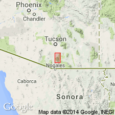
Summary:
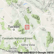
Is the only formation of the Bisbee Group present in the Hot Springs area, Galiuro Mountains, Cochise Co, AZ, Pedregosa basin. Extended from ranges to south of Hot Springs area. Exposures in the report area represent the northernmost exposures of Willow Canyon. Is about 400 m thick. Both contacts are structural. Considered to be the time equivalent facies of the Glance Conglomerate of the Bisbee. Was part of a system of proximal alluvial-fan, distal alluvial-fan, braided stream, lacustrine to playa deposits. Characterized by interbedding of planar laminated sandstone and mudstone. Some normally graded conglomerate. The presence of micritic nodules indicate floodplain lake. Geologic map. Cross section. The Muleshoe Volcanics (new name)-Willow Canyon contact, the upper contact of the Willow Canyon though not observed is presumed to be unconformable. Thought to be most likely Early Cretaceous, but may also be Late Jurassic?
Source: GNU records (USGS DDS-6; Denver GNULEX).
For more information, please contact Nancy Stamm, Geologic Names Committee Secretary.
Asterisk (*) indicates published by U.S. Geological Survey authors.
"No current usage" (†) implies that a name has been abandoned or has fallen into disuse. Former usage and, if known, replacement name given in parentheses ( ).
Slash (/) indicates name conflicts with nomenclatural guidelines (CSN, 1933; ACSN, 1961, 1970; NACSN, 1983, 2005, 2021). May be explained within brackets ([ ]).

