- Usage in publication:
-
- Whitesburg limestone*
- Modifications:
-
- First used
- Dominant lithology:
-
- Limestone
- AAPG geologic province:
-
- Appalachian basin
Summary:
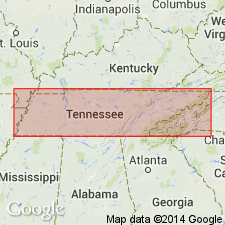
The name Whitesburg limestone appears in a table as unconformably overlying the Lenoir limestone or Holston marble and underlying the Athens shale. Unit 50 to 600 feet thick.
Source: GNU records (USGS DDS-6; Reston GNULEX).

- Usage in publication:
-
- Whitesburg limestone*
- Modifications:
-
- Named
- Dominant lithology:
-
- Limestone
- AAPG geologic province:
-
- Appalachian basin
Summary:
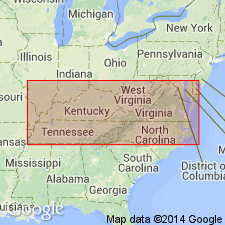
Named the Whitesburg limestone for Whitesburg, Hamblen Co., TN. Consists of dark crystalline limestone that at many places in the Appalachian Valley south of Staunton, VA, underlies the dark calcareous shale or limestone of the Athens shale. In most places it rests on the Lenoir limestone but may also overly the Holston marble. Unit is about 500 feet thick. The Whitesburg is of Early Ordovician age (Chazyan). [Chazyan was later changed to Middle Ordovician, hence the Whitesburg is of Middle Ordovician age]
Source: GNU records (USGS DDS-6; Reston GNULEX).

- Usage in publication:
-
- Whitesburg limestone member*
- Modifications:
-
- Revised
- AAPG geologic province:
-
- Appalachian basin
Summary:
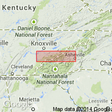
Revised the Whitesburg to the Whitesburg limestone member of the Blockhouse shale in TN. The Whitesburg is the basal member of the Blockhouse and overlies the Lenoir limestone. Thickness of the Whitesburg at the Blockhouse type locality is 5 to 20 feet. Unit is of Middle Ordovician age.
Source: GNU records (USGS DDS-6; Reston GNULEX).

- Usage in publication:
-
- Whitesburg Formation*
- Modifications:
-
- Revised
- AAPG geologic province:
-
- Appalachian basin
Summary:
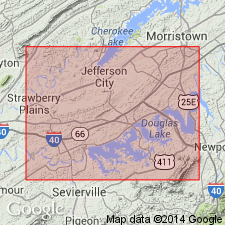
Fetzer Member or facies is assigned to the base of the Whitesburg Formation and overlies the Lenoir Formation in this report. Member consists of a basal metalliferous carbonate and an overlying limonitic/phosphatic claystone. Unit is a dark brown to dark gray, to nearly black, well indurated, argillaceous carbonate with abundant fossils. Bedding is generally nodular to laminated. The Fetzer proper is at least 5 m thick in the eastern outcrop. On the western end of the outcrop, it is about 2 m thick and overlies a more shaly tongue of the Whitesburg. Authors believe that the Fetzer is not a continuous body of rock but instead consists of lenses.
Source: GNU records (USGS DDS-6; Reston GNULEX).
For more information, please contact Nancy Stamm, Geologic Names Committee Secretary.
Asterisk (*) indicates published by U.S. Geological Survey authors.
"No current usage" (†) implies that a name has been abandoned or has fallen into disuse. Former usage and, if known, replacement name given in parentheses ( ).
Slash (/) indicates name conflicts with nomenclatural guidelines (CSN, 1933; ACSN, 1961, 1970; NACSN, 1983, 2005, 2021). May be explained within brackets ([ ]).

