The National Geologic Map Database is migrating to a new infrastructure. We apologize for any service disruptions during this process.
|
|---|


- Usage in publication:
-
- [White River formation*]
- Modifications:
-
- Original reference
- Dominant lithology:
-
- Clays
- AAPG geologic province:
-
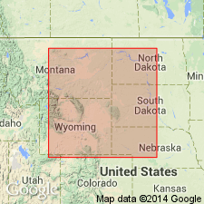
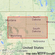
- Sioux uplift
Summary:
Pg. 119, 133. White River (Miocene) deposits in places crown summits of hills on east side of the Missouri near mouth of White River. The TITANOTHERIUM bed of White River basin is oldest member. We have no evidence that any Tertiary deposits now known in Nebraska are older than Miocene. [This paper by Meek and Hayden described the rocks of Nebraska Territory, which at that time included Wyoming, Montana, and the Dakotas.]
[Named from occurrence near mouth of White River, SD. Deposits in places crown summits of hills on east side of the Missouri River near mouth of White River.]
Source: US geologic names lexicon (USGS Bull. 896, p. 2325; USGS Bull. 1200, p. 4213-4214).
- Usage in publication:
-
- White River group*
- Modifications:
-
- [Principal reference]
- Dominant lithology:
-
- Clays
- AAPG geologic province:
-
- Sioux uplift
Summary:
Pg. 433, 434. White River group. White and light-drab clays with some sandstone beds and local layers of limestone. Thickness 1,000+ feet. Fossils contain no brackish-water or marine forms. Occurs on Bad Lands of White River, on Niobrara, and across the country to the Platte. Overlies Fort Union group on North Platte River above Fort Laramie. [No Fort Union formation is now (ca. 1938) recognized in vicinity of Fort Laramie, Goshen County, Wyoming. To the east of Fort Laramie the White River group rests on Lance formation, but to the northwest, in parts of Converse and Niobrara Counties, Wyoming, the Fort Union formation underlies the White River.] Underlies Loup Fork beds (Pliocene). [This paper by Meek and Hayden described the rocks of Nebraska, which at that time included Wyoming, Montana, and the Dakotas.]
[Named from occurrence near mouth of White River, SD. Deposits in places crown summits of hills on east side of the Missouri River near mouth of White River.]
Source: US geologic names lexicons (USGS Bull. 896, p. 2325; USGS Bull. 1200, p. 4213-4214).
- Usage in publication:
-
- White River Formation*
- Modifications:
-
- Areal extent
- AAPG geologic province:
-
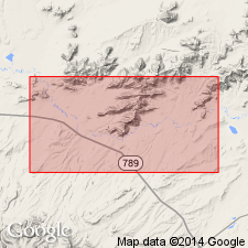
- Wind River basin
Summary:
Used for Oligocene rocks in Granite Mountains area, Fremont and Natrona Cos., WY in the Wind River basin as the unit below Arikaree Formation in preference to name Split Rock Formation. Term Split Rock abandoned.
Source: GNU records (USGS DDS-6; Denver GNULEX).
- Usage in publication:
-
- White River Group
- Modifications:
-
- Age modified
- Geochronologic dating
- AAPG geologic province:
-
- Wind River basin
Summary:
40Ar/39Ar dates on biotite from the "Purple White Layer" (PWL) yielded a mean age of 33.91 +/-0.06 Ma (latest Eocene). PWL is an ash that marks boundary between Chadron Formation [White River Group] and overlying Orella Member of Brule Formation [White River Group] and marks Chadronian-Orellan North American Land Mammal "Age" boundary and the Eocene-Oligocene boundary. Thus, Chadronian and Chadron are now latest Eocene age and Orellan and lower part of Brule are earliest Oligocene age. Ash samples taken from Flagstaff Rim section in south-central WY. Tables of isotopic dates.
Source: GNU records (USGS DDS-6; Denver GNULEX).
For more information, please contact Nancy Stamm, Geologic Names Committee Secretary.
Asterisk (*) indicates published by U.S. Geological Survey authors.
"No current usage" (†) implies that a name has been abandoned or has fallen into disuse. Former usage and, if known, replacement name given in parentheses ( ).
Slash (/) indicates name conflicts with nomenclatural guidelines (CSN, 1933; ACSN, 1961, 1970; NACSN, 1983, 2005, 2021). May be explained within brackets ([ ]).