

- Usage in publication:
-
- White Cliffs chalk
- Modifications:
-
- First used
- Dominant lithology:
-
- Chalk
- AAPG geologic province:
-
- Ouachita folded belt
Summary:
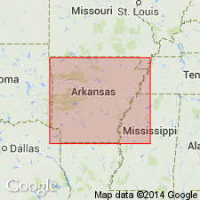
First used as formation of the Chalky marl beds division of the Upper Cretaceous or Exogyra costata series. Name apparently derived from exposures along the White Cliffs of Little River, sec 35, T11S, R29W, southeast Sevier Co, AR in Ouachita tectonic belt province. Consists of pure, white chalk with few fossils (CAMPTONECTES, INOCERAMUS, BACULITES) about 135 feet thick. Overlies White Cliffs sub-chalk [Ozan Formation]. Underlies Brownstown [not Brownstown but Marlbrook Marl] or Exogyra ponderosa marls.
Source: GNU records (USGS DDS-6; Denver GNULEX).
- Usage in publication:
-
- White Cliffs chalk
- Modifications:
-
- Not used
- AAPG geologic province:
-
- Arkla basin
- Ouachita folded belt
Summary:
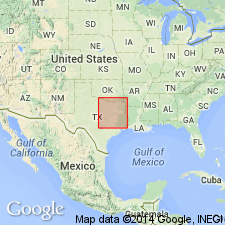
Not used in this report. Anona chalk is used in place of the White Cliffs chalk of the writer's earlier papers. It is typically exposed in AR along the White cliffs of Little River in Hempstead and Sevier Cos (Arkla basin and Ouachita tectonic belt province, respectively), where it has a thickness of about 100 ft. Age is Late Cretaceous.
Source: GNU records (USGS DDS-6; Denver GNULEX).
For more information, please contact Nancy Stamm, Geologic Names Committee Secretary.
Asterisk (*) indicates published by U.S. Geological Survey authors.
"No current usage" (†) implies that a name has been abandoned or has fallen into disuse. Former usage and, if known, replacement name given in parentheses ( ).
Slash (/) indicates name conflicts with nomenclatural guidelines (CSN, 1933; ACSN, 1961, 1970; NACSN, 1983, 2005, 2021). May be explained within brackets ([ ]).