- Usage in publication:
-
- Wayside sandstone and shale member
- Modifications:
-
- Named
- Dominant lithology:
-
- Sandstone
- Shale
- AAPG geologic province:
-
- Illinois basin
Summary:
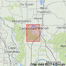
The Wayside sandstone and shale member of the Pottsville in Carbondale quad is defined as the strata lying above the limestone beds of the Kinkaid and below the massive conglomeratic sandstone beds of the Lick Creek member. Most of its beds seem to be lenticular. The sandstones vary from thin-bedded to massive, from fine to locally coarse-grained, and from relatively pure to very argillaceous. The shales show wide textural and compositional range. In places thin bands of quartz-pebble conglomerate occur. A few small thin lenses of coal are present. Argillaceous dark-colored limestone found in places also probably belongs to this member. Contains one massive sandstone about 345 ft thick, which forms waterfalls and cliffs. Average thickness of the Wayside is probably about 70 ft. Lies unconformably on Kinkaid limestone and is overlain, probably conformably by Lick Creek sandstone member of the Pottsville formation. Age given as Pennsylvanian.
Source: GNU records (USGS DDS-6; Reston GNULEX).
- Usage in publication:
-
- Wayside sandstone member
- Modifications:
-
- Revised
- AAPG geologic province:
-
- Illinois basin
Summary:
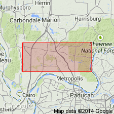
Wayside reallocated to member status in Caseyville formation. Basal member of formation; underlies Lick Creek sandstone member.
Source: GNU records (USGS DDS-6; Reston GNULEX).
- Usage in publication:
-
- Wayside†
- Modifications:
-
- Abandoned
- AAPG geologic province:
-
- Illinois basin
Summary:
Strata formerly termed Wayside now included in Lusk formation (new name).
Source: GNU records (USGS DDS-6; Reston GNULEX).
- Usage in publication:
-
- Wayside sandstone member
- Modifications:
-
- Reinstated
- AAPG geologic province:
-
- Illinois basin
Summary:
Caseyville formation redefined as formation in McCormick group (new name). In southwestern IL, Caseyville divided into (ascending) Wayside sandstone, Battery Rock sandstone, Drury shale, and Pounds sandstone members. In southeastern IL, Lusk shale member replaces Wayside sandstone member.
Source: GNU records (USGS DDS-6; Reston GNULEX).
- Usage in publication:
-
- Wayside Member
- Modifications:
-
- Revised
- Overview
- Dominant lithology:
-
- Sandstone
- Shale
- Siltstone
- AAPG geologic province:
-
- Illinois basin
Summary:
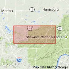
The Caseyville Formation crops out extensively in the southern parts of all three quads included in this study. Four previously named members are recognized in the area: (ascending) Wayside, Battery Rock Sandstone, Drury, and Pounds Sandstone. The Drury is here changed from Drury Shale Member to Drury Member and revised to include the Gentry Coal Bed (rank reduced). The Wayside is here revised from Wayside Sandstone Member to Wayside Member because it contains large proportions of shale and siltstone and some conglomerate. The name Lusk, introduced by Weller (1940) to replace Wayside, is here abandoned as the type Lusk and the type Wayside are stratigraphically equivalent. The Caseyville and its members are assigned a Morrowan age based on palynological data.
Source: GNU records (USGS DDS-6; Reston GNULEX).
- Usage in publication:
-
- Wayside Member
- Modifications:
-
- Revised
- Areal extent
- AAPG geologic province:
-
- Illinois basin
Summary:
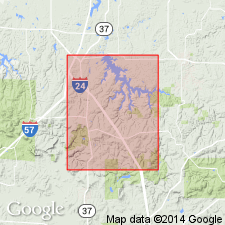
Term Wayside Member is restricted to the basal Caseyville strata below the Battery Rock Sandstone in south-central to southwestern IL. Although unit is continuous in this area, exposures are poor. Most complete exposure is in the north-trending ravine in the center of W1/2NE1/4, sec. 4, T12S, R2E. (Measured section 2, Appendix A). Unit consists of sandstone, siltstone, shale and coal; sandstone predominates. In the extreme southwestern portion of the quad a thick-bedded to massive cliff-forming sandstone, here referred to as the Omar sandstone lentil occurs near the middle of the Wayside Member. A typical exposure of the Omar is found in NW1/4NE1/4/SW1/4, sec. 4 T12S, R2E. In the measured section of the Wayside mentioned above, the Omar is 2-6 ft thick. Northward Omar is cut out and replaced by the Battery Rock Sandstone. The lentil, up to 40 ft thick, is composed of mature, fine-to coarse-grained, quartzose sandstone and ranges from thin to massive bedded. Contains scattered to locally abundant quartz pebbles. Wayside Member ranges from 50 to 100 ft.
Source: GNU records (USGS DDS-6; Reston GNULEX).
- Usage in publication:
-
- "Wayside" Member
- Modifications:
-
- Overview
- AAPG geologic province:
-
- Illinois basin
Summary:
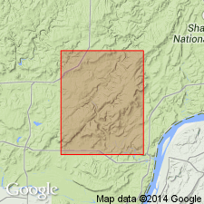
Because most Pennsylvanian outcrops in the Waltersburg quad consist of sandstone, only "Wayside" sandstone lentils, the Battery Rock Sandstone Member, and the Pounds Sandstone Member were mapped. The "Wayside" and "Drury" Members are poorly defined and described in both their respective type areas and in the Waltersburg quad. Both are poorly exposed and their contacts generally concealed. The two cannot be differentiated from each other where the intervening Battery Rock is absent. These members are referred to as "Wayside" and "Drury" because of their questionable status as valid lithostratigraphic units in the Waltersburg quad.
Source: GNU records (USGS DDS-6; Reston GNULEX).
For more information, please contact Nancy Stamm, Geologic Names Committee Secretary.
Asterisk (*) indicates published by U.S. Geological Survey authors.
"No current usage" (†) implies that a name has been abandoned or has fallen into disuse. Former usage and, if known, replacement name given in parentheses ( ).
Slash (/) indicates name conflicts with nomenclatural guidelines (CSN, 1933; ACSN, 1961, 1970; NACSN, 1983, 2005, 2021). May be explained within brackets ([ ]).

