
- Usage in publication:
-
- Waits River Formation*
- Modifications:
-
- Overview
- AAPG geologic province:
-
- New England province
Summary:
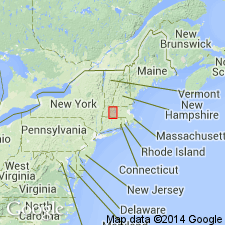
Used as Waits River Formation of Early Devonian age. Mapped as one main body and two locally occurring, unnamed subunits.
Source: GNU records (USGS DDS-6; Reston GNULEX).
- Usage in publication:
-
- Waits River Formation*
- Modifications:
-
- Revised
- Areal extent
- AAPG geologic province:
-
- New England province
Summary:
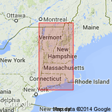
Rocks mapped as Conway Schist by Emerson (1898, 1917) and subsequently subdivided by Segerstrom (1956) and Willard (1956) were mapped across the MA-VT State line as Waits River and Gile Mountain Formations by Doll and others (1961) on Centennial Geologic Map of Vermont. Although controversy still exists over relative ages, detailed reconnaissance mapping by authors and S.F. Clark, Jr., L.M. Hall, and J.W. Pferd shows that Waits River and Gile Mountain Formations are readily distinguished in the field. For these reasons, and to maintain continuity across the State line, authors chose to follow VT nomenclature on here and on MA State bedrock geologic map (Zen and others, 1983). Primary difference between Waits River and Gile Mountain is presence in Gile Mountain of beds of noncalcareous, commonly micaceous quartzite. Both formations contain conspicuous beds of punky brown-weathering impure marble or calcareous granulite, mostly in Waits River and less abundant in Gile Mountain. Predominant lithology of both formations is typically contorted gray, graphitic, locally very sulfidic, moderately aluminous mica schist containing quartz veins. Gradational but definitely significant boundary can be mapped between both formations. Amphibolite in both formations may correlate with Standing Pond Volcanics occurring at or near Waits River-Gile Mountain contact in VT. Report goes into great detail regarding informal subdivision of each formation. Rocks previously mapped as Waits River Formation northeast of Shelburne Falls dome by Hatch and Hartshorn (1968) are here reassigned to an unnamed member of Goshen Formation because the rocks are indistinguishable from the Goshen. Goshen-Waits River contact is defined as the line along which, going eastward, the schist changes from aluminous, planar-bedded, and virtually quartz-free (Goshen), to alumina-poor, contorted, and rich in quartz veins (Waits River). [Papers presented as chapters in U.S. Geological Survey Professional Paper 1366 are intended as explanations and (or) revisions to MA State bedrock geologic map of Zen and others (1983) at scale of 1:250,000.]
Source: GNU records (USGS DDS-6; Reston GNULEX).
- Usage in publication:
-
- Waits River Formation*
- Modifications:
-
- Revised
- Age modified
- AAPG geologic province:
-
- New England province
Summary:
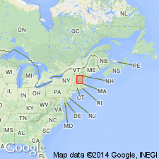
A unit of dark-gray, carbonaceous phyllite interbedded with minor thin (up to 15 cm) beds of punky-brown-weathering granulite and local thin, graded quartzite beds, which forms a narrow (0.5 to 1 km) unit along the west margin of the Connecticut Valley trough in east-central and northeast Vermont, mapped as the Northfield Formation, has long been considered the basal unit of a synclinorium, underlying the Waits River Formation and equivalent to the Meetinghouse Slate on the east margin of the trough. It is here reinterpreted as a distal facies of the Gile Mountain Formation which is at the top of the Connecticut Valley trough sequence, here interpreted as a fault-bounded anticlinorium. The Meetinghouse Slate (Member of the Gile Mountain Formation of Doll and others (1961)) is also here interpreted as lying at the top of the sequence. Age is Early Devonian.
Source: GNU records (USGS DDS-6; Reston GNULEX).
- Usage in publication:
-
- Waits River Formation
- Modifications:
-
- Age modified
- AAPG geologic province:
-
- New England province
Summary:
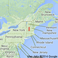
Isochron cooling age of 440+/-1 Ma determined for Standing Pond Volcanics. U-Pb of 423 Ma found for felsic dike that cuts Standing Pond near Springfield, VT. Data presented support occurrence of amphibolite facies metamorphic event in eastern VT and central MA during the Ordovician. All rocks of the CT Valley synclinorium (Gile Mountain, Waits River, and underlying strata) were subjected to this same event.
Source: GNU records (USGS DDS-6; Reston GNULEX).
- Usage in publication:
-
- Waits River Formation*
- Modifications:
-
- Age modified
- AAPG geologic province:
-
- New England province
Summary:
New U-Pb zircon data indicate an age of 423 +/-4 Ma (Silurian) (or 421 +/-2 Ma using weighted average of Pb-Pb ages) for a dike cutting Standing Pond Volcanics (usage of Hepburn and others, 1984). This in turn implies that the Waits River Formation-Gile Mountain Formation sequence is at least Middle Silurian or older, not latest Silurian to Early Devonian as was previously thought.
Source: GNU records (USGS DDS-6; Reston GNULEX).
- Usage in publication:
-
- Waits River Formation*
- Modifications:
-
- Geochronologic dating
- AAPG geologic province:
-
- New England province
Summary:
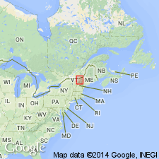
Lead isotope age of 423+/-4 Ma on cross-cutting dike in Standing Pond Volcanic Member provides minimum Silurian age for Waits River Formation. Presence of plant fossils in northern NH and southern Quebec supports a late Early Devonian (Emsian) age for the overlying Gile Mountain Formation and its equivalent, the Compton Formation. Gile Mountain includes the Meetinghouse Slate Member and the newly assigned Northfield Member, here considered a distal western facies of the Gile Mountain equivalent to the Meetinghouse. Authors conclude that the rocks of the Connecticut Valley trough accumulated continuously beginning as early as the Silurian and extending into the latest Early Devonian.
Source: GNU records (USGS DDS-6; Reston GNULEX).
- Usage in publication:
-
- Waits River Formation*
- Modifications:
-
- Areal extent
- AAPG geologic province:
-
- New England province
Summary:
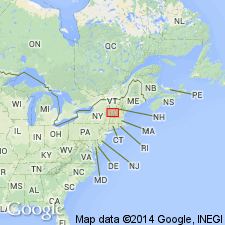
Rocks of Connecticut Valley-Gaspe terrane occupy broad area in eastern half of Glens Falls quad. Includes Northfield, Waits River, and Gile Mountain Formations. To the west are [unspecified] phyllites or schists; quartzose, micaceous carbonate rocks; conglomerate; limestone; and metavolcanic rocks (Shaw Mountain Formation). To the east, metamorphosed calcareous shale of Waits River Formation becomes less abundant and gives way to interbedded schists and quartzite of Gile Mountain Formation. Unnamed conglomerate also found near eastern margin. Standing Pond Volcanics is a central marker unit containing pillow lavas, tuffs, and rocks of mixed (sedimentary or volcaniclastic origin). Sparse fossils have dated these rocks as Middle or Late Ordovician, Silurian, or Devonian (Currier and Jahns, 1941; Cady, 1950; Doll, 1984; Hueber and others, 1990).
Source: GNU records (USGS DDS-6; Reston GNULEX).
- Usage in publication:
-
- Waits River Formation*
- Modifications:
-
- Revised
- AAPG geologic province:
-
- New England province
Summary:
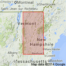
Structural studies in northeastern and east-central VT show that the belt long known as the Connecticut Valley synclinorium is a faulted anticline, and it is here renamed the Connecticut Valley trough. The Waits River Formation underlies the Gile Mountain Formation. The Northfield Formation and Meetinghouse Slate Member of the Gile Mountain Formation were interpreted as resting depositionally on older rocks to the west and east. The Northfield is revised as the Northfield Member of the Gile Mountain Formation, at the top of the Gile Mountain, rather than a separate formation below the Gile Mountain-Waits River package. The Meetinghouse Slate (Member of the Gile Mountain Formation of Doll and others (1961)) is revised as the Meetinghouse Slate Member of the Gile Mountain Formation, but at the top rather than at the bottom of the formation. The Standing Pond Volcanics (Standing Pond Volcanic Member of the Waits River Formation of Doll and others (1961)) is retained as the Standing Pond Volcanic Member of the Waits River, but use of the name is restricted to the area immediately surrounding the type locality. The age of all the trough rocks is modified to Early Devonian.
Source: GNU records (USGS DDS-6; Reston GNULEX).
- Usage in publication:
-
- Waits River Formation*
- Modifications:
-
- Age modified
- AAPG geologic province:
-
- New England province
Summary:
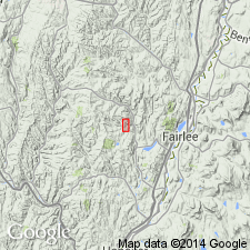
Authors disagree with Hatch (1991) regarding age of Gile Mountain Formation, Waits River Formation, and Standing Pond Volcanic Member of Waits River Formation. The Standing Pond Volcanic Member occurs mostly along mapped Gile Mountain-Waits River contact. 70 km south of Ely, VT, a felsic dike dated as Middle Silurian by Aleinikoff and Karabinos (1990) intrudes the Standing Pond; this effectively dates the Waits River Formation as no younger than Middle Silurian. The overlying Gile Mountain Formation is tentatively assigned a Middle Silurian(?) to Early Devonian age. The Early Devonian part of its age is based on plant fossils in equivalent rocks 100 km to the north in Quebec, as reported by Hueber and others (1990).
Source: GNU records (USGS DDS-6; Reston GNULEX).
- Usage in publication:
-
- Waits River Formation*
- Modifications:
-
- Age modified
- Geochronologic dating
- AAPG geologic province:
-
- New England province
Summary:
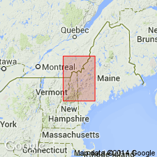
Mapped in VT at western edge of quad. A felsic dike cutting the Standing Pond Volcanics, which overlies Waits River Formation in southeastern VT, yields an age of 423+/-4 Ma (Aleinikoff and Karabinos, 1990; Hueber and others, 1990). The Waits River, therefore, cannot be younger than that age. Age changed to Silurian. Probably equivalent to Ayers Cliff Formation in QUE. Includes separately mapped volcanic and sedimentary member that is tentatively considered equivalent to Standing Pond Volcanics.
Source: GNU records (USGS DDS-6; Reston GNULEX).
- Usage in publication:
-
- Waits River Formation*
- Modifications:
-
- Age modified
- AAPG geologic province:
-
- New England province
Summary:
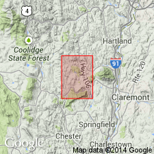
The age of the Waits River Formation is considered Silurian and Devonian and is controversial. Silurian age is based on isotopic dating by Aleinikoff and Karabinos (1990) and the Devonian age based on fossils (Hueber and others, 1990).
Source: GNU records (USGS DDS-6; Reston GNULEX).
For more information, please contact Nancy Stamm, Geologic Names Committee Secretary.
Asterisk (*) indicates published by U.S. Geological Survey authors.
"No current usage" (†) implies that a name has been abandoned or has fallen into disuse. Former usage and, if known, replacement name given in parentheses ( ).
Slash (/) indicates name conflicts with nomenclatural guidelines (CSN, 1933; ACSN, 1961, 1970; NACSN, 1983, 2005, 2021). May be explained within brackets ([ ]).

