- Usage in publication:
-
- Vishnu Schist*
- Modifications:
-
- Overview
- Age modified
- AAPG geologic province:
-
- Southern Rocky Mountain region
Summary:
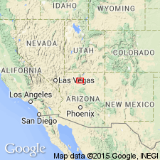
Forms the crystalline basement resting unconformably (called the "Greatest Unconformity") beneath the Bass Limestone of Unkar Group of Grand Canyon Supergroup. Consists of gneiss, amphibolite, granite, granite gneiss, massive mafic intrusive rocks, and metadiorite as well as schist. Invaded in a number of places by plutonic rocks from below. Designation of age changed from Precambrian X to Early Proterozoic, the term applied to rocks older than 1,600 Ma and younger than 2,500 Ma. Age known from U-Pb ages on cogenetic zircon from plutonic rocks in the Vishnu ranging from 1,695 m.y. to 1,665 m.y. Mapped along Colorado River in the Southern Rocky Mountain region, AZ.
Source: GNU records (USGS DDS-6; Denver GNULEX).
For more information, please contact Nancy Stamm, Geologic Names Committee Secretary.
Asterisk (*) indicates published by U.S. Geological Survey authors.
"No current usage" (†) implies that a name has been abandoned or has fallen into disuse. Former usage and, if known, replacement name given in parentheses ( ).
Slash (/) indicates name conflicts with nomenclatural guidelines (CSN, 1933; ACSN, 1961, 1970; NACSN, 1983, 2005, 2021). May be explained within brackets ([ ]).

