The National Geologic Map Database is migrating to a new infrastructure. We apologize for any service disruptions during this process.
|
|---|


- Usage in publication:
-
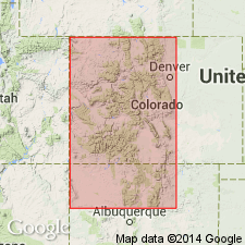
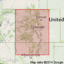
- Veta Pass limestone member
- Modifications:
-
- Named
- Dominant lithology:
-
- Limestone
- Shale
- AAPG geologic province:
-
- San Luis basin
Summary:
Named for exposures at Placer near La Veta Pass, Costilla Co, CO in the San Luis basin. No type locality designated. Applied as a name to a series of black limestone and shale with marine fossils beneath the "Lower Sangre de Cristo conglomerate." Has a maximum thickness of 2,100 ft near Placer. Rests on Leadville limestone or on pre-Cambrian granite. Compared to units assigned to the Weber formation of the Aspen district, CO and to the Hermosa formation of the San Juan region, CO. Cross section. Of Pennsylvanian age.
Source: GNU records (USGS DDS-6; Denver GNULEX).
- Usage in publication:
-
- Veta Pass limestone member
- Modifications:
-
- Age modified
- AAPG geologic province:
-
- San Luis basin
Summary:
Shown on a correlation chart as of Desmoines [formerly assigned Pennsylvanian] age and equivalent to Hermosa formation of Huerfano Park and to part of Madera formation of New Mexico, to part of Maroon, Minturn, Garfield-Kangaroo formations in other parts of CO. According to author, the top of Veta Pass cannot be placed exactly. Shown on chart as underlying the Sangre de Cristo.
Source: GNU records (USGS DDS-6; Denver GNULEX).
- Usage in publication:
-
- Veta Pass limestone member†
- Modifications:
-
- Abandoned
Summary:
Name "discarded" because it implies similarity to the Sangre de Cristo formation. Term Madera formation replaces use of Veta Pass in south-central CO.
Source: GNU records (USGS DDS-6; Denver GNULEX).
For more information, please contact Nancy Stamm, Geologic Names Committee Secretary.
Asterisk (*) indicates published by U.S. Geological Survey authors.
"No current usage" (†) implies that a name has been abandoned or has fallen into disuse. Former usage and, if known, replacement name given in parentheses ( ).
Slash (/) indicates name conflicts with nomenclatural guidelines (CSN, 1933; ACSN, 1961, 1970; NACSN, 1983, 2005, 2021). May be explained within brackets ([ ]).