- Usage in publication:
-
- Uncle Joe member*
- Modifications:
-
- Named
- Dominant lithology:
-
- Limestone
- Dolomite
- AAPG geologic province:
-
- Great Basin province
- Wasatch uplift
Summary:
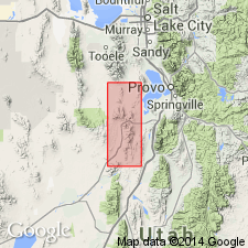
Named as the upper member of the Deseret limestone for the Uncle Joe claim on the crest of Godiva Mountain, Tintic district, Juab Co, UT in the Great Basin province. No type locality designated. Composed principally of coarse-grained, massive, coquinoid, light- to dark-gray limestone. Measured section in SE1/4 SE1/4 sec 19 and SW1/4 SW1/4 sec 20, T10S, R2W, Utah Co, UT on the Wasatch uplift described in which the member is 509 ft thick and it overlies the Tetro member (adopted) and underlies the Humbug formation. Dark gray, fine-grained, massive dolomite also present at measured section. Fossil corals and Bryozoa identified. Assigned a Late Mississippian age.
Source: GNU records (USGS DDS-6; Denver GNULEX).
For more information, please contact Nancy Stamm, Geologic Names Committee Secretary.
Asterisk (*) indicates published by U.S. Geological Survey authors.
"No current usage" (†) implies that a name has been abandoned or has fallen into disuse. Former usage and, if known, replacement name given in parentheses ( ).
Slash (/) indicates name conflicts with nomenclatural guidelines (CSN, 1933; ACSN, 1961, 1970; NACSN, 1983, 2005, 2021). May be explained within brackets ([ ]).

