

- Usage in publication:
-
- Tyonek beds*
- Modifications:
-
- Named
- Dominant lithology:
-
- Clay
- Sand
- Lignite
- AAPG geologic province:
-
- Alaska Southern region
Summary:
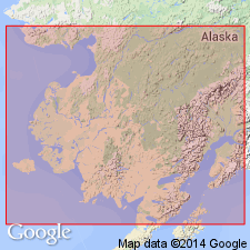
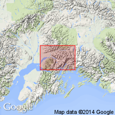
Exposed along shore of Cook Inlet southwest of Tyonek, southern AK. Is series of folded beds of clay alternating with sand which is locally indurated forming sandstone with abundant brown peaty lignite. Unconformably overlain by stratified gravels and boulder clay (Cook Inlet gravels). Believed to be later than Kenai series. Provisionally assigned to Neocene age.
Source: GNU records (USGS DDS-6; Menlo GNULEX).
- Usage in publication:
-
- Tyonek Formation
- Modifications:
-
- Revised
- AAPG geologic province:
-
- Alaska Southern region
Summary:
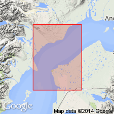
"Tyonek Beds" of Spurr (1900) renamed Tyonek Formation and redefined to constitute middle part of Kenai Group. Type section designated in subsurface of Tyonek State 17587 No.2 (Pan American Pet. Corp.) well (later in Granite Point oil field) in sec.30 T11N R11W, Seward Meridian, from depths of 11,950 to 4300 ft. Consists of nonmarine massively bedded sandstone, claystone and siltstone with numerous lignitic and subbituminous coal beds. Disconformably underlies Beluga Formation (new); conformably overlies Hemlock Conglomerate (new) (both of Kenai Group. Age given as Tertiary.
Source: GNU records (USGS DDS-6; Menlo GNULEX).
- Usage in publication:
-
- Tyonek Formation*
- Modifications:
-
- Revised
- Adopted
- AAPG geologic province:
-
- Alaska Southern region
Summary:
Adopted as Tyonek Formation of Kenai Group. Age is Oligocene and Miocene (Angoonian and Seldovian) based on fossil flora and isotopic ages.
Source: GNU records (USGS DDS-6; Menlo GNULEX).
- Usage in publication:
-
- Tyonek Formation*
- Modifications:
-
- Age modified
- Biostratigraphic dating
- AAPG geologic province:
-
- Alaska Southern region
Summary:
Tyonek Formation ranges in age from early Oligocene through middle Miocene (Angoonian, Seldovian, and [lower] Homerian Stages).
Source: GNU records (USGS DDS-6; Menlo GNULEX).
- Usage in publication:
-
- Tyonek Formation*
- Modifications:
-
- Areal extent
- Age modified
- Biostratigraphic dating
- AAPG geologic province:
-
- Alaska Southern region
Summary:
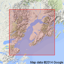
Unit geographically extended into report area [Anchorage quad]. Age is Miocene here based on fossil plant remains (early? Seldovian).
Source: GNU records (USGS DDS-6; Menlo GNULEX).
For more information, please contact Nancy Stamm, Geologic Names Committee Secretary.
Asterisk (*) indicates published by U.S. Geological Survey authors.
"No current usage" (†) implies that a name has been abandoned or has fallen into disuse. Former usage and, if known, replacement name given in parentheses ( ).
Slash (/) indicates name conflicts with nomenclatural guidelines (CSN, 1933; ACSN, 1961, 1970; NACSN, 1983, 2005, 2021). May be explained within brackets ([ ]).